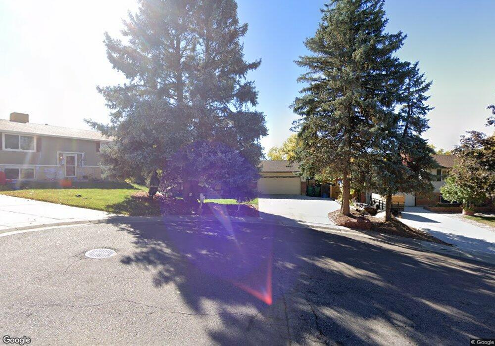
556 Aries Ct Lone Tree, CO 80124
Estimated Value: $538,275 - $548,000
3
Beds
2
Baths
1,340
Sq Ft
$405/Sq Ft
Est. Value
About This Home
This home is located at 556 Aries Ct, Lone Tree, CO 80124 and is currently estimated at $543,138, approximately $405 per square foot. 556 Aries Ct is a home located in Douglas County with nearby schools including Acres Green Elementary School, Cresthill Middle School, and Highlands Ranch High School.
Ownership History
Date
Name
Owned For
Owner Type
Purchase Details
Closed on
Apr 28, 2016
Sold by
Crowne Point Equity Partners Llc
Bought by
Johnson Thomas L and Johnson Susan M
Current Estimated Value
Home Financials for this Owner
Home Financials are based on the most recent Mortgage that was taken out on this home.
Original Mortgage
$237,600
Outstanding Balance
$189,576
Interest Rate
3.73%
Mortgage Type
New Conventional
Estimated Equity
$353,562
Purchase Details
Closed on
Sep 6, 2005
Sold by
Penny Todd and Penny Nadine W Sharland
Bought by
Crowne Point Equity Partners Llc
Purchase Details
Closed on
Sep 3, 2005
Sold by
Penny Todd and Sharland Penny Nadine W
Bought by
Crowne Point Equity Partners Llc
Purchase Details
Closed on
Nov 19, 2004
Sold by
Dillon Marshall L and Dillon Suzanne M
Bought by
Penny Todd and Sharland Penny Nadine W
Home Financials for this Owner
Home Financials are based on the most recent Mortgage that was taken out on this home.
Original Mortgage
$189,000
Interest Rate
5.12%
Mortgage Type
Unknown
Purchase Details
Closed on
Apr 28, 2000
Sold by
Neal Rachel Johnson
Bought by
Dillon Marshall L and Dillon Suzanne M
Home Financials for this Owner
Home Financials are based on the most recent Mortgage that was taken out on this home.
Original Mortgage
$174,285
Interest Rate
8.18%
Mortgage Type
FHA
Purchase Details
Closed on
Mar 9, 1999
Sold by
Murphy Dane T
Bought by
Neal Rachel Johnson
Home Financials for this Owner
Home Financials are based on the most recent Mortgage that was taken out on this home.
Original Mortgage
$115,920
Interest Rate
6.73%
Mortgage Type
Stand Alone First
Purchase Details
Closed on
Apr 22, 1993
Sold by
Mason Timothy and Mason Kathy A
Bought by
Murphy Dane T
Purchase Details
Closed on
Aug 28, 1992
Sold by
Dronenburg James W and Dronenburg Karin S
Bought by
Mason Timothy and Mason Kathy A
Purchase Details
Closed on
Oct 2, 1981
Sold by
Unavailable
Bought by
Unavailable
Create a Home Valuation Report for This Property
The Home Valuation Report is an in-depth analysis detailing your home's value as well as a comparison with similar homes in the area
Home Values in the Area
Average Home Value in this Area
Purchase History
| Date | Buyer | Sale Price | Title Company |
|---|---|---|---|
| Johnson Thomas L | $297,000 | Land Title Guarantee | |
| Crowne Point Equity Partners Llc | -- | -- | |
| Crowne Point Equity Partners Llc | -- | -- | |
| Penny Todd | $210,000 | Title America | |
| Dillon Marshall L | $175,500 | -- | |
| Neal Rachel Johnson | $144,900 | -- | |
| Murphy Dane T | $92,000 | -- | |
| Mason Timothy | $85,000 | -- | |
| Unavailable | $77,800 | -- |
Source: Public Records
Mortgage History
| Date | Status | Borrower | Loan Amount |
|---|---|---|---|
| Open | Johnson Thomas L | $237,600 | |
| Previous Owner | Penny Todd | $189,000 | |
| Previous Owner | Dillon Marshall L | $174,285 | |
| Previous Owner | Neal Rachel Johnson | $115,920 |
Source: Public Records
Tax History Compared to Growth
Tax History
| Year | Tax Paid | Tax Assessment Tax Assessment Total Assessment is a certain percentage of the fair market value that is determined by local assessors to be the total taxable value of land and additions on the property. | Land | Improvement |
|---|---|---|---|---|
| 2024 | $3,202 | $38,580 | $7,550 | $31,030 |
| 2023 | $3,235 | $38,580 | $7,550 | $31,030 |
| 2022 | $2,369 | $26,600 | $6,410 | $20,190 |
| 2021 | $2,463 | $26,600 | $6,410 | $20,190 |
| 2020 | $2,322 | $25,690 | $6,010 | $19,680 |
| 2019 | $2,330 | $25,690 | $6,010 | $19,680 |
| 2018 | $1,777 | $20,980 | $5,260 | $15,720 |
| 2017 | $1,806 | $20,980 | $5,260 | $15,720 |
| 2016 | $1,659 | $18,880 | $3,520 | $15,360 |
| 2015 | $848 | $18,880 | $3,520 | $15,360 |
| 2014 | $1,781 | $15,380 | $3,980 | $11,400 |
Source: Public Records
Map
Nearby Homes
- 13678 Omega Cir
- 336 Aquarius Ct
- 383 Helena Cir
- 426 Jupiter Dr
- 13542 Achilles Dr
- 202 Helena Cir
- 13483 Achilles Dr
- 7976 E Phillips Cir
- 7920 E Phillips Cir
- 8236 E Phillips Place
- 181 Dianna Dr
- 108 Olympus Cir
- 250 Jupiter Dr
- 13134 Deneb Dr
- 130 Dianna Dr
- 979 Mercury Cir
- 789 Hamal Dr
- 8455 E Otero Cir
- 8096 S Spruce Cir
- 7057 Chestnut Hill St