Estimated Value: $238,080 - $377,000
3
Beds
1
Bath
1,120
Sq Ft
$261/Sq Ft
Est. Value
About This Home
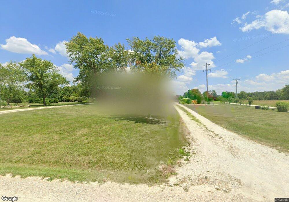
This home is located at 556 Aubuchon Rd, Troy, MO 63379 and is currently estimated at $292,770, approximately $261 per square foot. 556 Aubuchon Rd is a home located in Lincoln County with nearby schools including Boone Elementary School, Troy Middle School, and Troy Buchanan High School.
Ownership History
Date
Name
Owned For
Owner Type
Purchase Details
Closed on
Jul 13, 2006
Sold by
Grham Leroy and Graham Murel Mary
Bought by
Willis Timothy A and Willis Lisa
Current Estimated Value
Home Financials for this Owner
Home Financials are based on the most recent Mortgage that was taken out on this home.
Original Mortgage
$123,500
Outstanding Balance
$73,400
Interest Rate
6.67%
Mortgage Type
New Conventional
Estimated Equity
$219,370
Create a Home Valuation Report for This Property
The Home Valuation Report is an in-depth analysis detailing your home's value as well as a comparison with similar homes in the area
Purchase History
| Date | Buyer | Sale Price | Title Company |
|---|---|---|---|
| Willis Timothy A | -- | None Available |
Source: Public Records
Mortgage History
| Date | Status | Borrower | Loan Amount |
|---|---|---|---|
| Open | Willis Timothy A | $123,500 |
Source: Public Records
Tax History
| Year | Tax Paid | Tax Assessment Tax Assessment Total Assessment is a certain percentage of the fair market value that is determined by local assessors to be the total taxable value of land and additions on the property. | Land | Improvement |
|---|---|---|---|---|
| 2025 | $1,218 | $20,117 | $4,066 | $16,051 |
| 2024 | $1,174 | $19,029 | $3,800 | $15,229 |
| 2023 | $1,168 | $19,029 | $3,800 | $15,229 |
| 2022 | $1,116 | $18,305 | $3,800 | $14,505 |
| 2021 | $1,122 | $96,340 | $0 | $0 |
| 2020 | $985 | $86,070 | $0 | $0 |
| 2019 | $986 | $86,070 | $0 | $0 |
| 2018 | $926 | $15,154 | $0 | $0 |
| 2017 | $928 | $15,154 | $0 | $0 |
| 2016 | $794 | $12,690 | $0 | $0 |
| 2015 | $796 | $12,690 | $0 | $0 |
| 2014 | $788 | $12,550 | $0 | $0 |
| 2013 | -- | $12,487 | $0 | $0 |
Source: Public Records
Map
Nearby Homes
- 155 Stepanek Rd
- 762 Cave Farm Rd
- 8 Summers Breeze Ct
- 000 Cave Farm Rd
- 2 Country Ridge Trail
- 110 Schupmann Dr
- 459 Westridge Dr
- 456 Westridge Dr
- 45 Blue Line Ln
- 432 Westridge Dr
- 21 Saratoga Springs Dr
- 310 Red Wing Ct
- 4 Ashley Ln
- 25 Turkey Run Dr
- 118 Otto Ct
- 112 Otto Ct
- 106 Otto Ct
- 100 Otto Ct
- 0 Cedar Circle Ln Unit MIS25071955
- 14633 Dotzler Way
- 539 Aubuchon Rd
- 570 Aubuchon Rd
- 526 Aubuchon Rd
- 569 Aubuchon Rd
- 518 Aubuchon Rd
- 600 Aubuchon Rd
- 118 Wild Turkey Ln
- 510 Aubuchon Rd
- 122 Wild Turkey Ln
- 591 Aubuchon Rd
- 124 Wild Turkey Ln
- 481 Aubuchon Rd
- 597 Aubuchon Rd
- 23 Yellow Brick Rd
- 15 Yellow Brick Rd
- 11 Yellow Brick Rd
- 18 Yellow Brick Rd
- 14 Yellow Brick Rd
- 432 Aubuchon Rd
- 62 Henebry Hills Ln