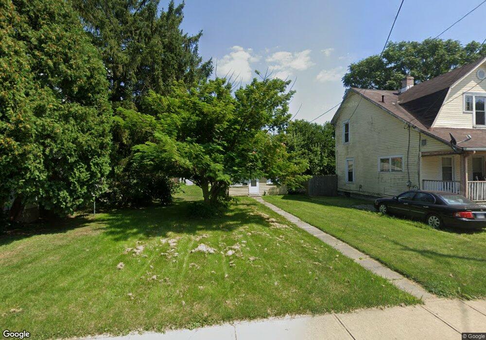
556 Avondale Ave Marion, OH 43302
Estimated Value: $49,000 - $168,000
2
Beds
1
Bath
684
Sq Ft
$121/Sq Ft
Est. Value
About This Home
This home is located at 556 Avondale Ave, Marion, OH 43302 and is currently estimated at $82,936, approximately $121 per square foot. 556 Avondale Ave is a home located in Marion County with nearby schools including Rutherford B. Hayes Elementary School, Ulysses S. Grant Middle School, and Harding High School.
Ownership History
Date
Name
Owned For
Owner Type
Purchase Details
Closed on
Mar 6, 2019
Sold by
Oney Charles T and Oney Rebecca
Bought by
Rent From Holden Llc
Current Estimated Value
Purchase Details
Closed on
May 13, 2011
Sold by
Shoemaker Scott C
Bought by
Oney Charles T
Purchase Details
Closed on
Mar 21, 2003
Bought by
Oney Charles T
Purchase Details
Closed on
Mar 4, 2002
Bought by
Oney Charles T
Purchase Details
Closed on
Sep 26, 1997
Bought by
Oney Charles T
Purchase Details
Closed on
Jul 11, 1996
Bought by
Oney Charles T
Purchase Details
Closed on
Dec 30, 1994
Bought by
Oney Charles T
Create a Home Valuation Report for This Property
The Home Valuation Report is an in-depth analysis detailing your home's value as well as a comparison with similar homes in the area
Home Values in the Area
Average Home Value in this Area
Purchase History
| Date | Buyer | Sale Price | Title Company |
|---|---|---|---|
| Rent From Holden Llc | $18,000 | None Available | |
| Oney Charles T | $25,000 | None Available | |
| Oney Charles T | -- | -- | |
| Oney Charles T | -- | -- | |
| Oney Charles T | $12,000 | -- | |
| Oney Charles T | $12,000 | -- | |
| Oney Charles T | $8,000 | -- |
Source: Public Records
Tax History
| Year | Tax Paid | Tax Assessment Tax Assessment Total Assessment is a certain percentage of the fair market value that is determined by local assessors to be the total taxable value of land and additions on the property. | Land | Improvement |
|---|---|---|---|---|
| 2025 | $335 | $4,290 | $1,400 | $2,890 |
| 2024 | $335 | $8,680 | $1,340 | $7,340 |
| 2023 | $335 | $8,680 | $1,340 | $7,340 |
| 2022 | $311 | $8,680 | $1,340 | $7,340 |
| 2021 | $271 | $6,800 | $1,160 | $5,640 |
| 2020 | $271 | $6,800 | $1,160 | $5,640 |
| 2019 | $271 | $6,800 | $1,160 | $5,640 |
| 2018 | $251 | $6,290 | $1,150 | $5,140 |
| 2017 | $254 | $6,290 | $1,150 | $5,140 |
| 2016 | $251 | $6,290 | $1,150 | $5,140 |
| 2015 | $250 | $6,130 | $1,090 | $5,040 |
| 2014 | $252 | $6,130 | $1,090 | $5,040 |
| 2012 | $305 | $7,410 | $1,160 | $6,250 |
Source: Public Records
Map
Nearby Homes
- 641 Blake Ave
- 531 Toledo Ave
- 408 Scranton Ave
- 414 Thompson St
- 523 Mary St
- 506 Mary St Unit 508
- 805 Silver St
- 230 Edwards St
- 343 Commercial St
- 636 Oak St
- 384 Mary St
- 233 Tully St
- 389 Oak St
- 552 N Prospect St
- 532 N Prospect St
- 438 N Prospect St Unit 434
- 531 N Main St
- 736 N Main St
- 716 N Main St
- 767 W Center St
- 548 Avondale Ave
- 562 Avondale Ave
- 544 Avondale Ave
- 566 Avondale Ave
- 544 Avondale Ave
- 538 Avondale Ave
- 570 Avondale Ave
- 575 Blake Ave
- 576 Avondale Ave
- 534 Avondale Ave
- 555 Avondale Ave
- 545 Avondale Ave
- 567 Avondale Ave
- 565 Blake Ave
- 541 Avondale Ave
- 582 Blake Ave
- 573 Avondale Ave
- 535 Bartram Ave
- 535 Avondale Ave
- 529 Avondale Ave
Your Personal Tour Guide
Ask me questions while you tour the home.