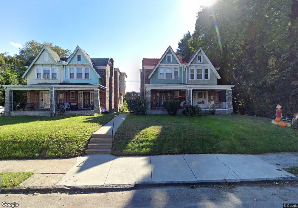
556 E Locust Ave Philadelphia, PA 19144
East Germantown NeighborhoodEstimated Value: $155,000 - $278,000
4
Beds
1
Bath
1,648
Sq Ft
$127/Sq Ft
Est. Value
About This Home
This home is located at 556 E Locust Ave, Philadelphia, PA 19144 and is currently estimated at $209,458, approximately $127 per square foot. 556 E Locust Ave is a home located in Philadelphia County with nearby schools including Roosevelt Theodore Middle School, Oak Street Elementary School, and Martin Luther King High School.
Ownership History
Date
Name
Owned For
Owner Type
Purchase Details
Closed on
Sep 11, 2008
Sold by
Dunn Deborah and Will Of Mary E Toliver
Bought by
Matthews Cheryl
Current Estimated Value
Home Financials for this Owner
Home Financials are based on the most recent Mortgage that was taken out on this home.
Original Mortgage
$88,290
Outstanding Balance
$58,654
Interest Rate
6.58%
Mortgage Type
FHA
Estimated Equity
$150,804
Create a Home Valuation Report for This Property
The Home Valuation Report is an in-depth analysis detailing your home's value as well as a comparison with similar homes in the area
Home Values in the Area
Average Home Value in this Area
Purchase History
| Date | Buyer | Sale Price | Title Company |
|---|---|---|---|
| Matthews Cheryl | $90,000 | None Available |
Source: Public Records
Mortgage History
| Date | Status | Borrower | Loan Amount |
|---|---|---|---|
| Open | Matthews Cheryl | $88,290 |
Source: Public Records
Tax History Compared to Growth
Tax History
| Year | Tax Paid | Tax Assessment Tax Assessment Total Assessment is a certain percentage of the fair market value that is determined by local assessors to be the total taxable value of land and additions on the property. | Land | Improvement |
|---|---|---|---|---|
| 2026 | $1,957 | $191,400 | $38,280 | $153,120 |
| 2025 | $1,957 | $191,400 | $38,280 | $153,120 |
| 2024 | $1,957 | $191,400 | $38,280 | $153,120 |
| 2023 | $1,957 | $139,800 | $27,960 | $111,840 |
| 2022 | $584 | $94,800 | $27,960 | $66,840 |
| 2021 | $1,214 | $0 | $0 | $0 |
| 2020 | $1,214 | $0 | $0 | $0 |
| 2019 | $1,267 | $0 | $0 | $0 |
| 2018 | $1,457 | $0 | $0 | $0 |
| 2017 | $1,457 | $0 | $0 | $0 |
| 2016 | $1,037 | $0 | $0 | $0 |
| 2015 | $993 | $0 | $0 | $0 |
| 2014 | -- | $104,100 | $19,591 | $84,509 |
| 2012 | -- | $16,000 | $3,360 | $12,640 |
Source: Public Records
Map
Nearby Homes
- 617 E Locust Ave
- 604 E Locust Ave
- 5610 Mcmahon St
- 1000 E Woodlawn St
- 5626 Mcmahon St
- 543 E Locust Ave
- 5625 Crowson St
- 5502 Crowson St
- 616 E Stafford St
- 626 E Stafford St
- 527 E Chelten Ave
- 809 E Locust Ave
- 5688 90 Magnolia St
- 863 E Chelten Ave
- 802 E Chelten Ave
- 436 E Chelten Ave
- 839 E Locust Ave
- 41-43 E Rittenhouse St
- 851 Church Ln
- 740 E Rittenhouse St
- 554 E Locust Ave
- 558 E Locust Ave
- 600 E Locust Ave
- 602 E Locust Ave
- 555 E Locust Ave
- 553 E Locust Ave
- 551 E Locust Ave
- 5537 Musgrave St
- 557 E Locust Ave
- 549 E Locust Ave
- 606 E Locust Ave
- 547 E Locust Ave
- 601 E Locust Ave
- 608 E Locust Ave
- 603 E Locust Ave
- 538 E Locust Ave
- 545 E Locust Ave
- 605 E Locust Ave
- 610 E Locust Ave
- 607 E Locust Ave