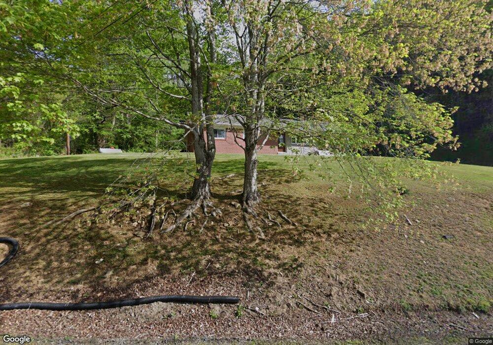
556 Henson Creek Rd Newland, NC 28657
Estimated Value: $180,000 - $292,000
3
Beds
2
Baths
1,517
Sq Ft
$150/Sq Ft
Est. Value
About This Home
This home is located at 556 Henson Creek Rd, Newland, NC 28657 and is currently estimated at $228,119, approximately $150 per square foot. 556 Henson Creek Rd is a home located in Avery County with nearby schools including Riverside Elementary School, Cranberry Middle School, and Avery County High School.
Ownership History
Date
Name
Owned For
Owner Type
Purchase Details
Closed on
May 8, 2020
Sold by
Dillingham Judith Lynn Biddix
Bought by
Dillingham Judith Lynn Biddix and Biddix Michael Roger
Current Estimated Value
Purchase Details
Closed on
Mar 1, 2010
Sold by
Dillinham Judith Lynn Biddix and Dillingham Clarence L
Bought by
Dillinham Judith Lynn Biddix and Biddix Dale Edward
Create a Home Valuation Report for This Property
The Home Valuation Report is an in-depth analysis detailing your home's value as well as a comparison with similar homes in the area
Home Values in the Area
Average Home Value in this Area
Purchase History
| Date | Buyer | Sale Price | Title Company |
|---|---|---|---|
| Dillingham Judith Lynn Biddix | -- | None Available | |
| Dillingham Judith Lynn Biddix | -- | None Available | |
| Dillinham Judith Lynn Biddix | -- | None Available |
Source: Public Records
Tax History Compared to Growth
Tax History
| Year | Tax Paid | Tax Assessment Tax Assessment Total Assessment is a certain percentage of the fair market value that is determined by local assessors to be the total taxable value of land and additions on the property. | Land | Improvement |
|---|---|---|---|---|
| 2024 | $520 | $129,900 | $8,500 | $121,400 |
| 2023 | $520 | $129,900 | $8,500 | $121,400 |
| 2022 | $0 | $129,900 | $8,500 | $121,400 |
| 2021 | $336 | $61,000 | $4,200 | $56,800 |
| 2020 | $336 | $61,000 | $4,200 | $56,800 |
| 2019 | $336 | $61,000 | $4,200 | $56,800 |
| 2018 | $336 | $61,000 | $4,200 | $56,800 |
| 2017 | $366 | $66,600 | $0 | $0 |
| 2016 | $298 | $66,600 | $0 | $0 |
| 2015 | $298 | $66,600 | $4,200 | $62,100 |
| 2012 | -- | $82,700 | $5,100 | $77,600 |
Source: Public Records
Map
Nearby Homes
- TBD Highway 19 E
- TBD Doublehead Mountain Rd
- 82+/- Acres Doublehead Mountain Rd
- 276 Wes Jones
- 2647 S Us Highway 19e
- TBD Elk Mountain Loop
- Lot 10 Mountain Laurel Pkwy
- 1264 Mountain Laurel Pkwy Unit Lots 8,9
- 1260 Mountain Laurel Pkwy Unit Lot 8
- Lots 8, 9 Mountain Laurel Pkwy
- Lot 8 Mountain Laurel Pkwy
- 1640 Licklog Rd
- 0 Clear Creek Dr
- 0 Clear Creek Dr Unit 15 251761
- 0 Clear Creek Dr Unit 12 251762
- 0 Clear Creek Dr Unit 15 CAR4178231
- 0 Clear Creek Dr Unit 12 CAR4178237
- 0 Clear Creek Dr Unit 17 CAR4106331
- 0 Clear Creek Dr Unit 17 247757
- 796 Buck Hill Rd
- 558 Henson Creek Rd
- 603 Henson Creek Rd
- 496 Henson Creek Rd
- 841 Henson Creek Rd
- 377 Henson Creek Rd
- 374 Henson Creek Rd
- 471 Charlies Ridge Ln
- 861 Henson Creek Rd
- 454 Charlies Ridge Ln
- 67 Homestead Ln
- 983 Henson Creek Rd
- 39 Little Henson Creek Rd
- 41 Little Henson Creek Rd
- 243 Henson Creek Rd
- 45 Singleton Ln
- 111 Orville Stafford Ln
- 73 Little Henson Creek Rd
- 282 Charlies Ridge Ln
- 55 Singleton Ln
- 1099 Henson Creek Rd