556 Highway T Foristell, MO 63348
Estimated Value: $654,013 - $758,000
3
Beds
3
Baths
1,941
Sq Ft
$364/Sq Ft
Est. Value
About This Home
This home is located at 556 Highway T, Foristell, MO 63348 and is currently estimated at $706,007, approximately $363 per square foot. 556 Highway T is a home located in St. Charles County.
Ownership History
Date
Name
Owned For
Owner Type
Purchase Details
Closed on
Aug 27, 2018
Sold by
Bentley Jonathan and Bentley Melinda
Bought by
Bentley Jonathan G and Bentley Melinda F
Current Estimated Value
Purchase Details
Closed on
May 24, 2018
Sold by
Daniels Kurtis J and Daniels Callie J
Bought by
Bentley Jonathan and Bentley Melinda
Home Financials for this Owner
Home Financials are based on the most recent Mortgage that was taken out on this home.
Original Mortgage
$261,000
Outstanding Balance
$224,730
Interest Rate
4.4%
Mortgage Type
New Conventional
Estimated Equity
$481,277
Create a Home Valuation Report for This Property
The Home Valuation Report is an in-depth analysis detailing your home's value as well as a comparison with similar homes in the area
Home Values in the Area
Average Home Value in this Area
Purchase History
| Date | Buyer | Sale Price | Title Company |
|---|---|---|---|
| Bentley Jonathan G | -- | None Available | |
| Bentley Jonathan | -- | None Available |
Source: Public Records
Mortgage History
| Date | Status | Borrower | Loan Amount |
|---|---|---|---|
| Open | Bentley Jonathan | $261,000 |
Source: Public Records
Tax History Compared to Growth
Tax History
| Year | Tax Paid | Tax Assessment Tax Assessment Total Assessment is a certain percentage of the fair market value that is determined by local assessors to be the total taxable value of land and additions on the property. | Land | Improvement |
|---|---|---|---|---|
| 2025 | $4,180 | $68,441 | -- | -- |
| 2023 | $4,180 | $65,934 | $0 | $0 |
| 2022 | $3,945 | $58,076 | $0 | $0 |
| 2021 | $3,949 | $58,076 | $0 | $0 |
| 2020 | $3,713 | $52,379 | $0 | $0 |
| 2019 | $3,446 | $52,379 | $0 | $0 |
| 2018 | $2,817 | $40,808 | $0 | $0 |
| 2017 | $2,817 | $40,808 | $0 | $0 |
| 2016 | $2,827 | $39,238 | $0 | $0 |
| 2015 | $2,789 | $39,238 | $0 | $0 |
| 2014 | $3,412 | $51,498 | $0 | $0 |
Source: Public Records
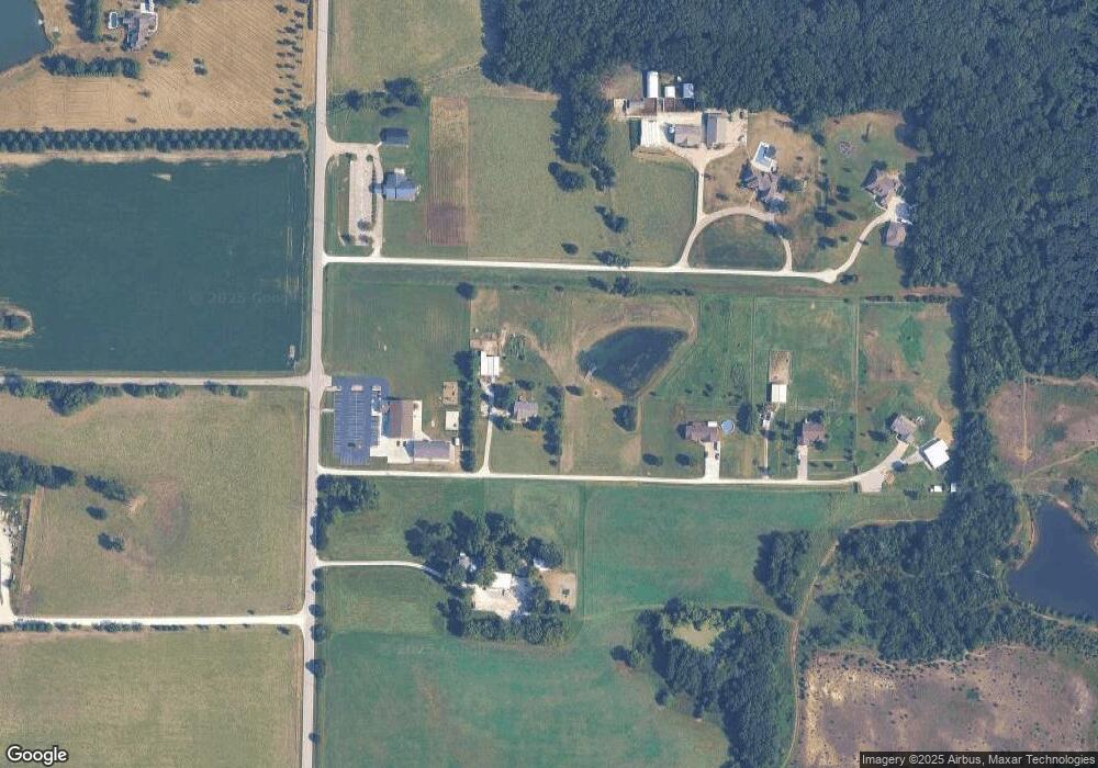
Map
Nearby Homes
- (3+/- Acres) Highway T
- 214 Liberty Valley Dr
- 216 Liberty Valley Dr
- 114 Town Center Ct
- 2 Burlington at Liberty Commons
- 807 Colony Ridge Ct
- 2 Arlington at Liberty Commons
- 808 Colony Ridge Ct
- 511 Founders Way
- 704 Celebration Dr
- 510 Founders Way
- 2 Fieldcrest at Liberty Commons
- 3 Sterling at Liberty Manors
- 2 Commons
- 90 Town Centre Ct
- 708 Celebration Dr
- 2 Belmont at Liberty Commons
- 302 Freedom Dr
- 2 Berwick at Liberty Manors
- 2 Aspen at Liberty Manors
- 21 Trophy Buck Ln
- 23 Trophy Buck Ln
- 566 Highway T
- 25 Trophy Buck Ln
- 619 Shamrock Estate Ln
- 27 Trophy Buck Ln
- 625 Shamrock Estate Ln
- 11 Foristell Manor Lot
- 457 Highway T
- 581 Highway T
- 441 Highway T
- 7Acres Humes Rd
- 07 Acres Humes Rd
- 08.01 Ac Humes Rd
- 651 Highway T
- 30 Elm Haven Dr
- 435 Highway T
- 26105 Bubbling Brook Dr
- 0 Lot 39 Bubbling Brook Dr Unit 90010542
- 0 Lot 39 Bubbling Brook Dr Unit 10015568