556 N Shore Dr Unit 11 South Haven, MI 49090
Estimated Value: $688,000 - $989,000
--
Bed
1
Bath
2,396
Sq Ft
$320/Sq Ft
Est. Value
About This Home
This home is located at 556 N Shore Dr Unit 11, South Haven, MI 49090 and is currently estimated at $767,876, approximately $320 per square foot. 556 N Shore Dr Unit 11 is a home located in Van Buren County with nearby schools including South Haven High School, St. Basil School, and St. Paul Lutheran School.
Ownership History
Date
Name
Owned For
Owner Type
Purchase Details
Closed on
Jul 19, 2013
Sold by
Utke Lee R and Utke Pamela K
Bought by
Colbert William and Colbert Gayle
Current Estimated Value
Purchase Details
Closed on
Aug 16, 2004
Sold by
Monahan Frederick and Monahan Rose
Bought by
Matheny Michael N and Matheny Charlene A
Purchase Details
Closed on
Apr 6, 2001
Sold by
Paskin Marc and Paskin Amy
Bought by
Monahan Frederick and Monahan Rose
Purchase Details
Closed on
Jul 17, 1998
Sold by
Kamnikar Anthony A and Kamnikar Leona
Bought by
Paskin Marc and Paskin Amy
Purchase Details
Closed on
Jan 30, 1998
Sold by
Saxton Michael and Saxton Sherrill
Bought by
Kamnikar Anthony and Kamnikar Leona
Purchase Details
Closed on
Jul 14, 1995
Bought by
Saxton Michael and Saxton Sherrill L
Create a Home Valuation Report for This Property
The Home Valuation Report is an in-depth analysis detailing your home's value as well as a comparison with similar homes in the area
Home Values in the Area
Average Home Value in this Area
Purchase History
| Date | Buyer | Sale Price | Title Company |
|---|---|---|---|
| Colbert William | $400,000 | Premier Lakeshore Title Agen | |
| Matheny Michael N | $319,900 | Metropolitan Title Company | |
| Monahan Frederick | $260,000 | -- | |
| Paskin Marc | $215,000 | -- | |
| Kamnikar Anthony | $32,000 | -- | |
| Saxton Michael | $27,500 | -- |
Source: Public Records
Tax History Compared to Growth
Tax History
| Year | Tax Paid | Tax Assessment Tax Assessment Total Assessment is a certain percentage of the fair market value that is determined by local assessors to be the total taxable value of land and additions on the property. | Land | Improvement |
|---|---|---|---|---|
| 2025 | $5,203 | $283,700 | $0 | $0 |
| 2024 | $5,203 | $272,200 | $0 | $0 |
| 2023 | $4,983 | $240,400 | $0 | $0 |
| 2022 | $6,326 | $211,600 | $0 | $0 |
| 2021 | $6,065 | $200,000 | $59,200 | $140,800 |
| 2020 | $8,611 | $198,000 | $52,400 | $145,600 |
| 2019 | $8,323 | $194,000 | $194,000 | $0 |
| 2018 | $8,120 | $160,900 | $160,900 | $0 |
| 2017 | $7,909 | $169,100 | $0 | $0 |
| 2016 | $7,722 | $175,200 | $0 | $0 |
| 2015 | $3,859 | $175,200 | $0 | $0 |
| 2014 | $3,803 | $177,300 | $0 | $0 |
| 2013 | $8,179 | $126,600 | $126,600 | $0 |
Source: Public Records
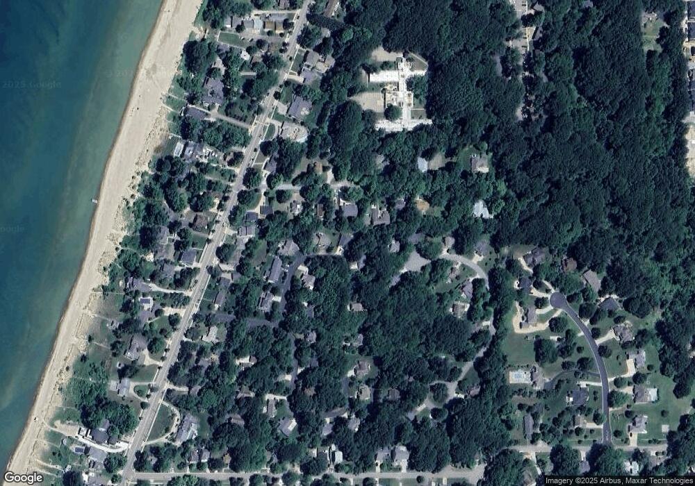
Map
Nearby Homes
- 246 Webster Ave
- 278 Brockway Ave
- 406 410-412 North Shore Dr
- 222 Oak St
- 404 N Shore Dr
- 7433 Baseline Rd
- 202 Oak St
- 07370 N Shore Dr Unit 23
- 653 Preserve Dr
- 300 Black River St Unit 21
- Harbor Club 1870 Plan at Harbor Club
- Harbor Club 2390 Plan at Harbor Club
- Harbor Club 1680 Plan at Harbor Club
- Harbor Club 2100 Plan at Harbor Club
- Harbor Club 2070 Plan at Harbor Club
- Harbor Club 2700 Plan at Harbor Club
- Harbor Club 2200 Plan at Harbor Club
- Harbor Club 3100 Plan at Harbor Club
- Harbor Club K2015 Plan at Harbor Club
- 665 Meadow Dr
- 556 N Shore Dr
- 556 N Shore Dr
- 556 N Shore Dr
- 556 N Shore Dr Unit 18
- 556 N Shore Dr
- 556 N Shore Dr
- 556 N Shore Dr
- 556 N Shore Dr
- 556 N Shore Dr
- 556 N Shore Dr
- 556 N Shore Dr
- 556 N Shore Dr
- 556 N Shore Dr
- 556 N Shore Dr
- 556 N Shore Dr
- 556 N Shore Dr
- 556 N Shore Dr
- 556 N Shore Dr Unit 3
- 556 N Shore Dr
- 556 N Shore Dr Unit 5