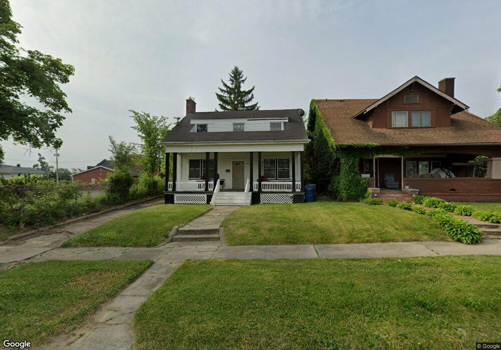
556 Page St Flint, MI 48505
King Avenue Plus NeighborhoodEstimated Value: $31,000 - $67,289
3
Beds
2
Baths
1,593
Sq Ft
$32/Sq Ft
Est. Value
About This Home
This home is located at 556 Page St, Flint, MI 48505 and is currently estimated at $51,072, approximately $32 per square foot. 556 Page St is a home located in Genesee County with nearby schools including Doyle/Ryder School, Flint Cultural Center Academy, and WAY Academy of Flint.
Ownership History
Date
Name
Owned For
Owner Type
Purchase Details
Closed on
Aug 7, 2025
Sold by
White Larry
Bought by
Piece Of The Rock Foundation
Current Estimated Value
Purchase Details
Closed on
Jul 31, 2018
Sold by
Ellison Ola
Bought by
White Larry
Purchase Details
Closed on
Jan 14, 2014
Sold by
Genesee County Land Bank Authority
Bought by
White Larry N
Purchase Details
Closed on
Jan 26, 2012
Sold by
The Genesee County Land Bank Authority
Bought by
White Larry N
Purchase Details
Closed on
Dec 21, 2011
Sold by
Genesee County Treasurer
Bought by
Genesee County Land Bank
Purchase Details
Closed on
Jun 28, 2000
Sold by
Hill Luther and Estate Of Pinkie C Hill
Bought by
Hill Luther
Create a Home Valuation Report for This Property
The Home Valuation Report is an in-depth analysis detailing your home's value as well as a comparison with similar homes in the area
Home Values in the Area
Average Home Value in this Area
Purchase History
| Date | Buyer | Sale Price | Title Company |
|---|---|---|---|
| Piece Of The Rock Foundation | -- | None Listed On Document | |
| White Larry | -- | None Available | |
| White Larry N | $4,000 | None Available | |
| White Larry N | $4,000 | None Available | |
| Genesee County Land Bank | -- | None Available | |
| Hill Luther | -- | -- |
Source: Public Records
Mortgage History
| Date | Status | Borrower | Loan Amount |
|---|---|---|---|
| Closed | White Larry N | $0 |
Source: Public Records
Tax History Compared to Growth
Tax History
| Year | Tax Paid | Tax Assessment Tax Assessment Total Assessment is a certain percentage of the fair market value that is determined by local assessors to be the total taxable value of land and additions on the property. | Land | Improvement |
|---|---|---|---|---|
| 2025 | $753 | $10,800 | $0 | $0 |
| 2024 | $706 | $10,600 | $0 | $0 |
| 2023 | $698 | $8,400 | $0 | $0 |
| 2022 | $0 | $6,200 | $0 | $0 |
| 2021 | $782 | $7,100 | $0 | $0 |
| 2020 | $726 | $7,000 | $0 | $0 |
| 2019 | $736 | $7,200 | $0 | $0 |
| 2018 | $1,497 | $6,500 | $0 | $0 |
| 2017 | $823 | $0 | $0 | $0 |
| 2016 | $820 | $0 | $0 | $0 |
| 2015 | -- | $0 | $0 | $0 |
| 2014 | -- | $0 | $0 | $0 |
| 2012 | -- | $0 | $0 | $0 |
Source: Public Records
Map
Nearby Homes
- 562 E Witherbee St
- 329 E Wood St
- 1303 Root St
- 235 Page St
- 1706 Wilberforce Cir
- 805 Columbia Dr
- 1606 Garland St
- 1016 Garland St
- 217 W 7th Ave
- 325 W Paterson St
- 317 W Witherbee St
- 115 W Baker St
- 218 E Jackson Ave
- 1645 Seminole St
- 506 Green St
- 1273 Broadway Blvd
- 1215 Bennett Ave
- 416 W 2nd Ave Unit 4
- 2913
- 2913 Martin Luther King Ave