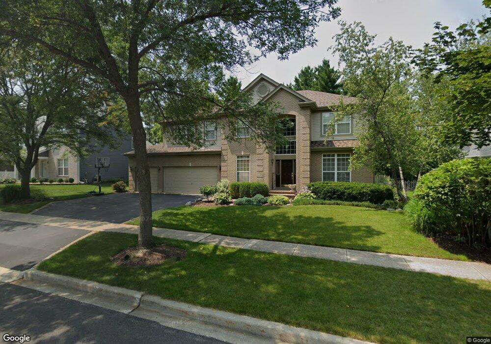
556 Prescott Ln Gurnee, IL 60031
Estimated Value: $601,000 - $652,000
4
Beds
3
Baths
3,860
Sq Ft
$161/Sq Ft
Est. Value
About This Home
This home is located at 556 Prescott Ln, Gurnee, IL 60031 and is currently estimated at $621,248, approximately $160 per square foot. 556 Prescott Ln is a home located in Lake County with nearby schools including Woodland Primary School, Woodland Elementary School, and Woodland Intermediate School.
Ownership History
Date
Name
Owned For
Owner Type
Purchase Details
Closed on
Oct 4, 2022
Sold by
Speer Philipp M and Speer Christina
Bought by
Speer Living Trust and Speer
Current Estimated Value
Purchase Details
Closed on
Mar 1, 2001
Sold by
Drh Cambridge Homes Inc
Bought by
Speer Philipp M and Speer Christina M
Home Financials for this Owner
Home Financials are based on the most recent Mortgage that was taken out on this home.
Original Mortgage
$260,000
Interest Rate
7.03%
Create a Home Valuation Report for This Property
The Home Valuation Report is an in-depth analysis detailing your home's value as well as a comparison with similar homes in the area
Home Values in the Area
Average Home Value in this Area
Purchase History
| Date | Buyer | Sale Price | Title Company |
|---|---|---|---|
| Speer Living Trust | -- | None Listed On Document | |
| Speer Philipp M | $436,500 | First American Title |
Source: Public Records
Mortgage History
| Date | Status | Borrower | Loan Amount |
|---|---|---|---|
| Previous Owner | Speer Philipp M | $260,000 |
Source: Public Records
Tax History Compared to Growth
Tax History
| Year | Tax Paid | Tax Assessment Tax Assessment Total Assessment is a certain percentage of the fair market value that is determined by local assessors to be the total taxable value of land and additions on the property. | Land | Improvement |
|---|---|---|---|---|
| 2024 | $13,855 | $169,090 | $27,190 | $141,900 |
| 2023 | $13,855 | $156,987 | $25,244 | $131,743 |
| 2022 | $13,669 | $146,236 | $25,251 | $120,985 |
| 2021 | $12,361 | $140,369 | $24,238 | $116,131 |
| 2020 | $11,966 | $136,918 | $23,642 | $113,276 |
| 2019 | $11,628 | $132,943 | $22,956 | $109,987 |
| 2018 | $12,847 | $147,975 | $26,967 | $121,008 |
| 2017 | $12,714 | $143,735 | $26,194 | $117,541 |
| 2016 | $12,624 | $137,335 | $25,028 | $112,307 |
| 2015 | $12,308 | $130,250 | $23,737 | $106,513 |
| 2014 | $11,923 | $127,239 | $23,432 | $103,807 |
| 2012 | $11,292 | $128,213 | $23,611 | $104,602 |
Source: Public Records
Map
Nearby Homes
- 7449 Brentwood Ln
- 7437 Bittersweet Dr
- 767 Aster Dr
- 7390 Bittersweet Dr
- 415 Kingsport Dr
- 699 Snow Cap Ct
- 1090 Village Ln
- 18466 W Springwood Dr
- 34395 W Saddle Ct
- 17716 W Horseshoe Ln Unit 3
- 17490 Pin Oak Ln
- 35051 N Oak Knoll Cir
- 17444 Pin Oak Ln
- 18587 W Meander Dr
- 1075 Suffolk Ct
- 1094 Vista Dr
- 7030 Bentley Dr
- 34871 N Lake Shore Dr
- 17404 W Walnut Ln Unit 2C
- 17438 W Walnut Ln Unit 2F
- 564 Prescott Ln
- 548 Prescott Ln Unit 3
- 543 Old Walnut Cir
- 555 Old Walnut Cir
- 531 Old Walnut Cir
- 572 Prescott Ln
- 540 Prescott Ln
- 557 Prescott Ln
- 567 Old Walnut Cir
- 565 Prescott Ln
- 549 Prescott Ln
- 519 Old Walnut Cir Unit 1
- 573 Prescott Ln
- 580 Prescott Ln
- 532 Prescott Ln
- 541 Prescott Ln
- 579 Old Walnut Cir
- 507 Old Walnut Cir
- 581 Prescott Ln
- 7380 Bradford Ct