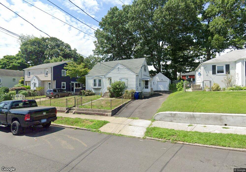
556 Ruth St Bridgeport, CT 06606
North End NeighborhoodEstimated Value: $388,000 - $416,000
4
Beds
1
Bath
1,290
Sq Ft
$313/Sq Ft
Est. Value
About This Home
This home is located at 556 Ruth St, Bridgeport, CT 06606 and is currently estimated at $403,993, approximately $313 per square foot. 556 Ruth St is a home located in Fairfield County with nearby schools including Blackham School, Central High School, and St Andrew School.
Ownership History
Date
Name
Owned For
Owner Type
Purchase Details
Closed on
Apr 4, 2011
Sold by
Leclerc Gary
Bought by
Cuminoto Dawn
Current Estimated Value
Home Financials for this Owner
Home Financials are based on the most recent Mortgage that was taken out on this home.
Original Mortgage
$135,000
Outstanding Balance
$94,176
Interest Rate
5.04%
Estimated Equity
$309,817
Create a Home Valuation Report for This Property
The Home Valuation Report is an in-depth analysis detailing your home's value as well as a comparison with similar homes in the area
Home Values in the Area
Average Home Value in this Area
Purchase History
| Date | Buyer | Sale Price | Title Company |
|---|---|---|---|
| Cuminoto Dawn | -- | -- | |
| Cuminoto Dawn | -- | -- |
Source: Public Records
Mortgage History
| Date | Status | Borrower | Loan Amount |
|---|---|---|---|
| Open | Cuminoto Dawn | $135,000 |
Source: Public Records
Tax History Compared to Growth
Tax History
| Year | Tax Paid | Tax Assessment Tax Assessment Total Assessment is a certain percentage of the fair market value that is determined by local assessors to be the total taxable value of land and additions on the property. | Land | Improvement |
|---|---|---|---|---|
| 2025 | $6,806 | $156,640 | $76,310 | $80,330 |
| 2024 | $6,806 | $156,640 | $76,310 | $80,330 |
| 2023 | $6,806 | $156,640 | $76,310 | $80,330 |
| 2022 | $6,806 | $156,640 | $76,310 | $80,330 |
| 2021 | $6,806 | $156,640 | $76,310 | $80,330 |
| 2020 | $6,083 | $112,660 | $43,840 | $68,820 |
| 2019 | $6,083 | $112,660 | $43,840 | $68,820 |
| 2018 | $6,125 | $112,660 | $43,840 | $68,820 |
| 2017 | $6,125 | $112,660 | $43,840 | $68,820 |
| 2016 | $6,125 | $112,660 | $43,840 | $68,820 |
| 2015 | $6,246 | $148,020 | $50,650 | $97,370 |
| 2014 | $6,246 | $148,020 | $50,650 | $97,370 |
Source: Public Records
Map
Nearby Homes
- 720 Queen St
- 2346 Madison Ave
- 605 Merritt St
- 375 Ruth St
- 69 Plankton St
- 38 Enid St Unit B
- 604 Birmingham St
- 81 Ameridge Dr
- 129 Ashton St
- 783 Clark St
- 495 Peet St
- 932 Thorme St
- 339 Goldenrod Ave
- 3450 Park Ave
- 3430 Park Ave
- 226 Alberta St
- 17 Teresa Place Unit 17
- 245 Glendale Ave Unit D8
- 12 Riverview Dr Unit 12
- 161 Brion Dr