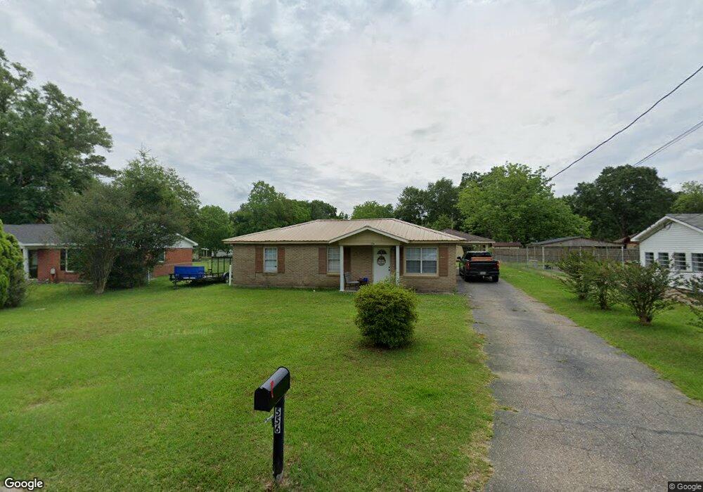
556 Scott Dr Saraland, AL 36571
Estimated Value: $136,500 - $211,000
5
Beds
2
Baths
960
Sq Ft
$179/Sq Ft
Est. Value
About This Home
This home is located at 556 Scott Dr, Saraland, AL 36571 and is currently estimated at $171,625, approximately $178 per square foot. 556 Scott Dr is a home with nearby schools including Saraland Elementary School, Nelson Leon Adams Middle School/Saraland Middle School, and Saraland High School.
Ownership History
Date
Name
Owned For
Owner Type
Purchase Details
Closed on
May 31, 2007
Sold by
Pilgrim Bobby Glenn and Pilgrim Mary L
Bought by
Murphy Warren Richard and Murphy Erica L
Current Estimated Value
Home Financials for this Owner
Home Financials are based on the most recent Mortgage that was taken out on this home.
Original Mortgage
$83,500
Outstanding Balance
$50,899
Interest Rate
6.12%
Mortgage Type
Unknown
Estimated Equity
$120,726
Create a Home Valuation Report for This Property
The Home Valuation Report is an in-depth analysis detailing your home's value as well as a comparison with similar homes in the area
Home Values in the Area
Average Home Value in this Area
Purchase History
| Date | Buyer | Sale Price | Title Company |
|---|---|---|---|
| Murphy Warren Richard | -- | First Mobile Title |
Source: Public Records
Mortgage History
| Date | Status | Borrower | Loan Amount |
|---|---|---|---|
| Open | Murphy Warren Richard | $83,500 |
Source: Public Records
Tax History Compared to Growth
Tax History
| Year | Tax Paid | Tax Assessment Tax Assessment Total Assessment is a certain percentage of the fair market value that is determined by local assessors to be the total taxable value of land and additions on the property. | Land | Improvement |
|---|---|---|---|---|
| 2024 | $1,483 | $24,920 | $6,000 | $18,920 |
| 2023 | $1,483 | $9,660 | $2,640 | $7,020 |
| 2022 | $1,091 | $9,170 | $2,420 | $6,750 |
| 2021 | $966 | $8,120 | $2,200 | $5,920 |
| 2020 | $966 | $8,120 | $2,200 | $5,920 |
| 2019 | $979 | $16,460 | $0 | $0 |
| 2018 | $979 | $16,460 | $0 | $0 |
| 2017 | $890 | $14,960 | $0 | $0 |
| 2016 | $883 | $14,840 | $0 | $0 |
| 2013 | $857 | $16,340 | $0 | $0 |
Source: Public Records
Map
Nearby Homes
- 159 Courtaulds Ave
- 0 Shelton Beach Rd Unit 7618795
- 503 Shelton Beach Rd
- 205 Stauffer Ave
- 832 Shelton Beach Rd
- 711 Ann St
- 129 Melinda Dr
- 0 Joaneen Dr Unit 7576451
- 804 Myron Ave
- 30 Melinda Dr
- 253 Autumn Dr
- 234 Autumn Dr
- 1019 Joaneen Dr
- 20 Robbie Ln
- 325 Bryant Ct
- 0 Lincoln St
- 410 Allen Cir
- 505 Norton Ave
- 820 James St
- 827 James St
- 554 Scott Dr
- 558 Scott Dr
- 552 Scott Dr
- 409 International Blvd
- 808 E Ladner Dr
- 407 International Blvd
- 557 Scott Dr
- 555 Scott Dr
- 551 Scott Dr
- 559 Scott Dr
- 550 Scott Dr
- 405 International Blvd
- 806 E Ladner Dr
- 802 Joaneen Dr
- 812 E Ladner Dr
- 415 International Blvd
- 158 Courtaulds Ave
- 548 Scott Dr
- 410 International Blvd
- 403 International Blvd