556 West Acres Rd Whitesboro, TX 76273
Estimated Value: $550,927 - $644,000
3
Beds
2
Baths
2,959
Sq Ft
$202/Sq Ft
Est. Value
About This Home
This home is located at 556 West Acres Rd, Whitesboro, TX 76273 and is currently estimated at $597,464, approximately $201 per square foot. 556 West Acres Rd is a home located in Grayson County with nearby schools including J.W. Hayes Primary School, Whitesboro Intermediate School, and Whitesboro Middle School.
Ownership History
Date
Name
Owned For
Owner Type
Purchase Details
Closed on
Jun 12, 2015
Sold by
Siems Loren F and Siems Stephanie
Bought by
Skeet Amy and Byrd Travis
Current Estimated Value
Home Financials for this Owner
Home Financials are based on the most recent Mortgage that was taken out on this home.
Original Mortgage
$256,400
Outstanding Balance
$198,234
Interest Rate
3.7%
Mortgage Type
New Conventional
Estimated Equity
$399,230
Create a Home Valuation Report for This Property
The Home Valuation Report is an in-depth analysis detailing your home's value as well as a comparison with similar homes in the area
Home Values in the Area
Average Home Value in this Area
Purchase History
| Date | Buyer | Sale Price | Title Company |
|---|---|---|---|
| Skeet Amy | -- | None Available |
Source: Public Records
Mortgage History
| Date | Status | Borrower | Loan Amount |
|---|---|---|---|
| Open | Skeet Amy | $256,400 |
Source: Public Records
Tax History Compared to Growth
Tax History
| Year | Tax Paid | Tax Assessment Tax Assessment Total Assessment is a certain percentage of the fair market value that is determined by local assessors to be the total taxable value of land and additions on the property. | Land | Improvement |
|---|---|---|---|---|
| 2025 | $4,921 | $440,273 | -- | -- |
| 2024 | $6,333 | $400,248 | $0 | $0 |
| 2023 | $3,890 | $363,862 | $0 | $0 |
| 2022 | $5,085 | $319,859 | $0 | $0 |
| 2021 | $5,227 | $290,781 | $25,063 | $265,718 |
| 2020 | $5,191 | $280,357 | $25,015 | $255,342 |
| 2019 | $5,470 | $275,692 | $20,937 | $254,755 |
| 2018 | $5,166 | $254,894 | $21,934 | $232,960 |
| 2017 | $5,154 | $250,791 | $21,934 | $228,857 |
| 2015 | $3,966 | $227,035 | $22,000 | $205,035 |
| 2014 | $3,721 | $199,121 | $22,000 | $177,121 |
Source: Public Records
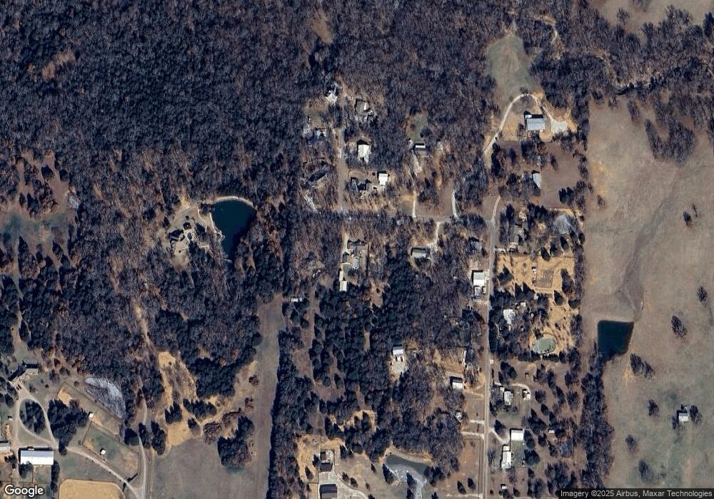
Map
Nearby Homes
- 262 Briar Creek Rd
- TBD Bones Chapel Rd
- 790 Bones Chapel Rd
- 1052 Bones Chapel Rd
- 400 Wild Wood Ln
- 20ac Us Hwy 377
- 3285 Roland Rd
- 205 Anderson Rd
- 2208 Sundance Rd
- 2026 Sundance Rd
- 2151 Sundance Rd
- 2256 Sundance Rd
- 2160 Sundance Rd
- 2244 Sundance Rd
- 2148 Sundance Rd
- 873 Anderson Rd
- 53 ac U S Highway 82
- US U S Highway 82
- 491 Navajo Rd
- 993 County Line Rd
- 508 West Acres Rd
- 586 West Acres Rd
- 527 West Acres Rd
- 476 West Acres Rd
- 579 W Acres Rd
- 579 West Acres Rd
- 70 Megan Rd
- 71 Megan Rd
- 499 West Acres Rd
- 410 West Acres Rd
- 410 W Acres Rd
- 364 W Acres Rd
- 364 West Acres Rd
- 80 Megan Rd
- 100 Megan Rd
- 288 West Acres Rd
- 419 West Acres Rd
- 427 West Acres Rd
- 343 West Acres Rd
- 343 West Acres Rd