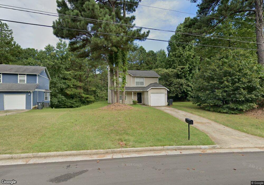
5560 Forest Downs Cir Atlanta, GA 30349
Estimated Value: $165,000 - $274,000
3
Beds
3
Baths
1,338
Sq Ft
$164/Sq Ft
Est. Value
About This Home
This home is located at 5560 Forest Downs Cir, Atlanta, GA 30349 and is currently estimated at $219,874, approximately $164 per square foot. 5560 Forest Downs Cir is a home located in Fulton County with nearby schools including Liberty Point Elementary School, Camp Creek Middle School, and Langston Hughes High School.
Ownership History
Date
Name
Owned For
Owner Type
Purchase Details
Closed on
Apr 9, 2025
Sold by
Home Sfr Borrower 2 Llc
Bought by
Fyr Sfr Borrower Llc
Current Estimated Value
Purchase Details
Closed on
Jun 24, 2016
Sold by
Samuel
Bought by
Eph 2 Assets Llc
Purchase Details
Closed on
Apr 24, 2012
Sold by
Last Stop Investments Llc
Bought by
Wake Samuel
Purchase Details
Closed on
Dec 5, 2006
Sold by
Chase Home Finance Llc
Bought by
Secretary Of Hud
Create a Home Valuation Report for This Property
The Home Valuation Report is an in-depth analysis detailing your home's value as well as a comparison with similar homes in the area
Home Values in the Area
Average Home Value in this Area
Purchase History
| Date | Buyer | Sale Price | Title Company |
|---|---|---|---|
| Fyr Sfr Borrower Llc | -- | -- | |
| Eph 2 Assets Llc | $85,000 | -- | |
| Wake Samuel | $57,000 | -- | |
| Secretary Of Hud | -- | -- | |
| Chase Home Finance Llc | $121,148 | -- |
Source: Public Records
Tax History Compared to Growth
Tax History
| Year | Tax Paid | Tax Assessment Tax Assessment Total Assessment is a certain percentage of the fair market value that is determined by local assessors to be the total taxable value of land and additions on the property. | Land | Improvement |
|---|---|---|---|---|
| 2025 | $3,333 | $83,400 | $21,280 | $62,120 |
| 2023 | $2,116 | $74,960 | $21,360 | $53,600 |
| 2022 | $2,403 | $61,280 | $14,640 | $46,640 |
| 2021 | $2,381 | $59,480 | $14,200 | $45,280 |
| 2020 | $1,471 | $48,080 | $8,920 | $39,160 |
| 2019 | $1,428 | $36,160 | $8,320 | $27,840 |
| 2018 | $1,167 | $29,320 | $4,000 | $25,320 |
| 2017 | $672 | $16,480 | $3,560 | $12,920 |
| 2016 | $672 | $16,480 | $3,560 | $12,920 |
| 2015 | $674 | $16,480 | $3,560 | $12,920 |
| 2014 | $711 | $16,480 | $3,560 | $12,920 |
Source: Public Records
Map
Nearby Homes
- 5250 Forest Downs Ln
- 310 Wolf Downs Way
- 3320 Stonewall Ln
- 4838 Station Lane-Lot 15
- 3318 Stonewall Ln
- Nelson Plan at The Enclave at Stonewall Station
- Cecil Plan at The Enclave at Stonewall Station
- Nelson Plan at Stonewall Station
- Beaufort Plan at Stonewall Station
- Cecil Plan at Stonewall Station
- Cooper Plan at Stonewall Station
- Kayla Plan at Stonewall Station
- 4817 Station Ln Unit 32
- 4813 Station Ln
- 4822 Station Ln
- 4811 Station Ln
- 4818 Station Ln
- 4814 Station Ln
- 4840 Station Ln
- 4815 Station Dr Unit 33
- 5560 Forest Downs Cir
- 5570 Forest Downs Cir
- 5580 Forest Downs Cir
- 5540 Forest Downs Cir
- 140 Wolf Downs Ct
- 5590 Forest Downs Cir
- 5465 Forest Downs Cir
- 145 Wolf Downs Ct
- 5455 Forest Downs Cir
- 5270 Forest Downs Ln
- 5475 Forest Downs Cir
- 5530 Forest Downs Cir
- 5445 Forest Downs Cir
- 5280 Forest Downs Ln
- 5600 Forest Downs Cir
- 130 Wolf Downs Ct
- 5255 Forest Downs Cir
- 5260 Forest Downs Ln
- 135 Wolf Downs Ct
- 135 Wolf Downs Ct Unit 42