Estimated Value: $363,821 - $544,000
4
Beds
3
Baths
2,738
Sq Ft
$165/Sq Ft
Est. Value
About This Home
This home is located at 55600 E 315 Rd, Jay, OK 74346 and is currently estimated at $450,455, approximately $164 per square foot. 55600 E 315 Rd is a home located in Delaware County with nearby schools including Grove Lower Elementary School, Grove Upper Elementary School, and Grove Middle School.
Ownership History
Date
Name
Owned For
Owner Type
Purchase Details
Closed on
Jun 22, 2018
Sold by
Goodpasture Gerald Abram
Bought by
Flores Garrett
Current Estimated Value
Home Financials for this Owner
Home Financials are based on the most recent Mortgage that was taken out on this home.
Original Mortgage
$174,600
Outstanding Balance
$150,681
Interest Rate
4.5%
Mortgage Type
New Conventional
Estimated Equity
$299,774
Purchase Details
Closed on
Jan 8, 2004
Sold by
Oldham Robert Dale
Bought by
Serenity Point Llc
Purchase Details
Closed on
May 2, 1997
Sold by
Oldham Bob and Cynthia Ward
Create a Home Valuation Report for This Property
The Home Valuation Report is an in-depth analysis detailing your home's value as well as a comparison with similar homes in the area
Purchase History
| Date | Buyer | Sale Price | Title Company |
|---|---|---|---|
| Flores Garrett | $180,000 | Apex Title & Closing Service | |
| Serenity Point Llc | $240,000 | -- | |
| -- | -- | -- |
Source: Public Records
Mortgage History
| Date | Status | Borrower | Loan Amount |
|---|---|---|---|
| Open | Flores Garrett | $174,600 |
Source: Public Records
Tax History
| Year | Tax Paid | Tax Assessment Tax Assessment Total Assessment is a certain percentage of the fair market value that is determined by local assessors to be the total taxable value of land and additions on the property. | Land | Improvement |
|---|---|---|---|---|
| 2025 | $1,475 | $18,222 | $948 | $17,274 |
| 2024 | $1,405 | $17,354 | $903 | $16,451 |
| 2023 | $1,405 | $16,527 | $861 | $15,666 |
| 2022 | $1,314 | $15,740 | $853 | $14,887 |
| 2021 | $1,311 | $15,740 | $853 | $14,887 |
| 2020 | $1,333 | $15,740 | $853 | $14,887 |
| 2019 | $1,338 | $15,740 | $853 | $14,887 |
| 2018 | $1,226 | $18,915 | $853 | $18,062 |
| 2017 | $1,172 | $14,448 | $610 | $13,838 |
| 2016 | $1,115 | $13,760 | $583 | $13,177 |
| 2015 | $1,077 | $12,481 | $482 | $11,999 |
| 2014 | $1,031 | $11,887 | $463 | $11,424 |
Source: Public Records
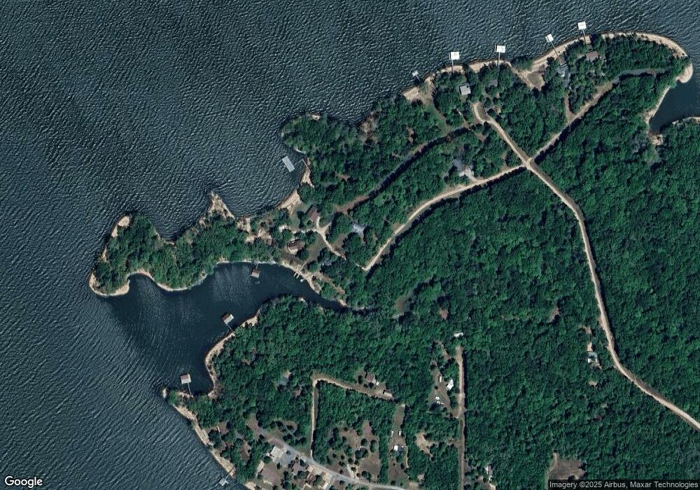
Map
Nearby Homes
- 55881 E 316 Rd
- 55600 E 319 Trail
- 55640 E 319 Trail
- 32302 S 555 Rd
- 30311 S 555 Rd Unit 20
- 31664 S 571 Ln
- 56853 E 318 Rd
- 30501 S 562 Rd Unit 29
- 30313 S 561 Rd
- 30310 S 562 Rd
- 56281 E 305 Rd
- 30700 S 563 Rd
- 453899 Tara Trail
- 55275 E 298 Rd Unit 1
- 55275 E 298 Rd Unit no. 5
- 32060 Lavender Ln
- 32060 Lavender Ln
- 30186 S 565 Rd
- 453844 Country Club Trail
- 453805 E 315 Rd
- 55610 E 315 Rd
- 55500 E 315 Rd
- 55480 E 315 Rd
- 55751 E 315 Rd
- 55750 E 315 Rd
- 55700 E 316 Ln
- 55800 E 315 Rd
- 55850 E 315 Rd
- 55860 E 316 Rd
- 55851 E 316 Rd
- 55831 E 316 Rd
- 55841 E 316 Rd
- 55847 E 316 Rd
- 55855 E 316 Rd
- 55931 E 316 Rd
- 57746 E 315 Rd
- 55941 E 316 Rd
- 0 316 Rd Unit 1123034
- 0 316 Rd Unit 1123024
- 56010 E 315 Rd
Your Personal Tour Guide
Ask me questions while you tour the home.