5562 Mt Baker Hwy Deming, WA 98244
Estimated Value: $781,000 - $896,000
3
Beds
2
Baths
2,097
Sq Ft
$399/Sq Ft
Est. Value
About This Home
This home is located at 5562 Mt Baker Hwy, Deming, WA 98244 and is currently estimated at $836,395, approximately $398 per square foot. 5562 Mt Baker Hwy is a home located in Whatcom County with nearby schools including Mount Baker Senior High School.
Ownership History
Date
Name
Owned For
Owner Type
Purchase Details
Closed on
Nov 1, 2012
Sold by
Mcdonald David Frank
Bought by
Zwick Randal Scott
Current Estimated Value
Home Financials for this Owner
Home Financials are based on the most recent Mortgage that was taken out on this home.
Original Mortgage
$357,500
Outstanding Balance
$247,507
Interest Rate
3.43%
Mortgage Type
VA
Estimated Equity
$588,888
Purchase Details
Closed on
Apr 24, 2012
Sold by
Mcdonald David Frank
Bought by
Mcdonald David Frank
Create a Home Valuation Report for This Property
The Home Valuation Report is an in-depth analysis detailing your home's value as well as a comparison with similar homes in the area
Home Values in the Area
Average Home Value in this Area
Purchase History
| Date | Buyer | Sale Price | Title Company |
|---|---|---|---|
| Zwick Randal Scott | $350,280 | Whatcom Land Title | |
| Mcdonald David Frank | -- | None Available |
Source: Public Records
Mortgage History
| Date | Status | Borrower | Loan Amount |
|---|---|---|---|
| Open | Zwick Randal Scott | $357,500 |
Source: Public Records
Tax History Compared to Growth
Tax History
| Year | Tax Paid | Tax Assessment Tax Assessment Total Assessment is a certain percentage of the fair market value that is determined by local assessors to be the total taxable value of land and additions on the property. | Land | Improvement |
|---|---|---|---|---|
| 2024 | $6,017 | $751,252 | $274,998 | $476,254 |
| 2023 | $6,017 | $820,018 | $337,879 | $482,139 |
| 2022 | $4,921 | $672,130 | $276,944 | $395,186 |
| 2021 | $4,656 | $542,035 | $223,339 | $318,696 |
| 2020 | $4,284 | $459,350 | $189,270 | $270,080 |
| 2019 | $3,828 | $404,722 | $166,761 | $237,961 |
| 2018 | $4,728 | $390,206 | $160,780 | $229,426 |
| 2017 | $4,269 | $378,384 | $160,404 | $217,980 |
| 2016 | $4,106 | $365,247 | $154,835 | $210,412 |
| 2015 | $3,845 | $348,824 | $147,873 | $200,951 |
| 2014 | -- | $0 | $0 | $0 |
| 2013 | -- | $0 | $0 | $0 |
Source: Public Records
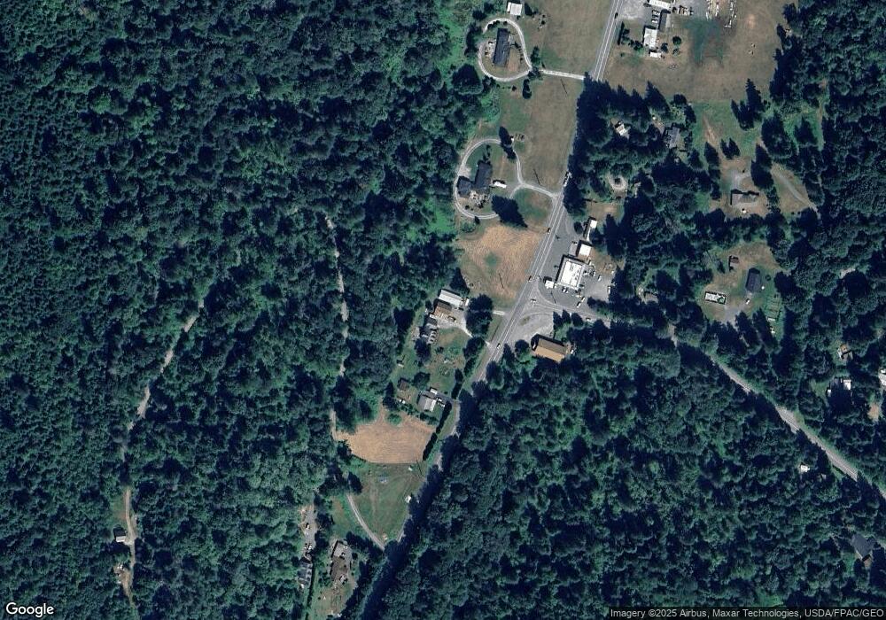
Map
Nearby Homes
- 5510 Mt Baker Hwy
- 0 N Fork Rd
- 5463 Mosquito Lake Rd
- 5860 Bell Creek Logging Rd
- 5888 Mount Baker Hwy
- 5070 Deming Rd
- 0 Mt Baker Hwy Unit NWM2371192
- 8290 Mount Baker Hwy
- 5458 Mount Baker Hwy
- 5718 Schornbush Rd
- 7019 Mount Baker Hwy
- 4120 Valley Hwy
- 4086 Valley Hwy
- 4126 Caron Rd
- 4290 Mt Baker Hwy
- 3999 Deming Rd
- 6373 Eastwood Rd
- 0 Hoff Cir
- 5753 Lawrence Rd
- 6483 Mt Baker Hwy
- 5565 Mt Baker Hwy
- 5568 Mt Baker Hwy
- 5569 Mt Baker Hwy
- 5528 Mt Baker Hwy
- 5534 Mt Baker Hwy
- 5576 Mt Baker Hwy
- 5576 Mt Baker Hwy
- 5726 Mosquito Lake Rd
- 5573 Mt Baker Hwy
- 5475 Serenity Ln
- 5581 Mt Baker Hwy
- 5542 Mt Baker Hwy
- 5436 Serenity Ln
- 5600 Mt Baker Hwy
- 5660 Teamouse Ln
- 5765 Mosquito Lake Rd
- 5780 Mosquito Lake Rd
- 5675 Teamouse Ln
- 5764 Mosquito Lake Rd
- 5970 Truck Rd