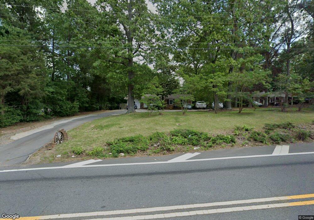
5562 Robin Rd Acworth, GA 30102
Oak Grove NeighborhoodEstimated Value: $280,000 - $370,000
3
Beds
2
Baths
1,653
Sq Ft
$197/Sq Ft
Est. Value
About This Home
This home is located at 5562 Robin Rd, Acworth, GA 30102 and is currently estimated at $324,983, approximately $196 per square foot. 5562 Robin Rd is a home located in Cherokee County with nearby schools including E. T. Booth Middle School, Etowah High School, and Keystone Prep Academy.
Ownership History
Date
Name
Owned For
Owner Type
Purchase Details
Closed on
May 8, 2019
Sold by
Minnick Mike
Bought by
6345 Hwy 92 Llc
Current Estimated Value
Purchase Details
Closed on
Jul 20, 2001
Sold by
Percy Lee Barron Trust
Bought by
Minnick Mike L and Minnick Teresa E
Home Financials for this Owner
Home Financials are based on the most recent Mortgage that was taken out on this home.
Original Mortgage
$41,013
Interest Rate
6.98%
Mortgage Type
New Conventional
Create a Home Valuation Report for This Property
The Home Valuation Report is an in-depth analysis detailing your home's value as well as a comparison with similar homes in the area
Home Values in the Area
Average Home Value in this Area
Purchase History
| Date | Buyer | Sale Price | Title Company |
|---|---|---|---|
| 6345 Hwy 92 Llc | $365,000 | -- | |
| Minnick Mike L | $80,000 | -- |
Source: Public Records
Mortgage History
| Date | Status | Borrower | Loan Amount |
|---|---|---|---|
| Previous Owner | Minnick Mike L | $41,013 |
Source: Public Records
Tax History Compared to Growth
Tax History
| Year | Tax Paid | Tax Assessment Tax Assessment Total Assessment is a certain percentage of the fair market value that is determined by local assessors to be the total taxable value of land and additions on the property. | Land | Improvement |
|---|---|---|---|---|
| 2025 | $1,754 | $66,800 | $13,800 | $53,000 |
| 2024 | $1,656 | $63,720 | $10,360 | $53,360 |
| 2023 | $1,607 | $61,840 | $10,360 | $51,480 |
| 2022 | $1,318 | $50,160 | $10,360 | $39,800 |
| 2021 | $919 | $32,360 | $8,840 | $23,520 |
| 2020 | $779 | $31,720 | $8,840 | $22,880 |
| 2019 | $779 | $27,400 | $8,840 | $18,560 |
| 2018 | $784 | $27,440 | $8,840 | $18,600 |
| 2017 | $695 | $66,100 | $8,360 | $18,080 |
| 2016 | $695 | $59,700 | $7,080 | $16,800 |
| 2015 | $713 | $60,600 | $7,080 | $17,160 |
| 2014 | $682 | $57,900 | $6,360 | $16,800 |
Source: Public Records
Map
Nearby Homes
- 206 Oakleaf Dr
- 710 Pineglen Dr
- 5543 Forest Dr
- 107 Red Barn Ln
- 216 Don John Trail
- 515 Altama Way
- 305 Wilshire Pass
- 5674 Woodland Dr
- 5689 Woodland Dr
- 243 Odell St
- 5357 Wade Green Rd
- 251 Derby Ct
- 5666 Goldfield Dr
- 1150 Buice Lake Pkwy
- 147 Jameson Dr
- 3094 Cambridge Mill St
- 648 Devon Alley
- 3070 Cambridge Mill St
- 5556 Robin Rd
- 5600 Robin Rd
- 5552 Robin Rd
- 1201 Siesta Ln
- 1209 Siesta Ln
- 6345 Highway 92
- 1217 Siesta Ln
- 1200 Siesta Ln
- 1223 Siesta Ln
- 1208 Siesta Ln
- 5753 Bells Ferry Rd
- 0 Siesta Ln Unit 7632401
- 0 Siesta Ln
- 1216 Siesta Ln
- 1235 Siesta Ln
- 6437 Highway 92
- 1222 Siesta Ln
- 1247 Siesta Ln
- 5765 Bells Ferry Rd
- 1234 Siesta Ln