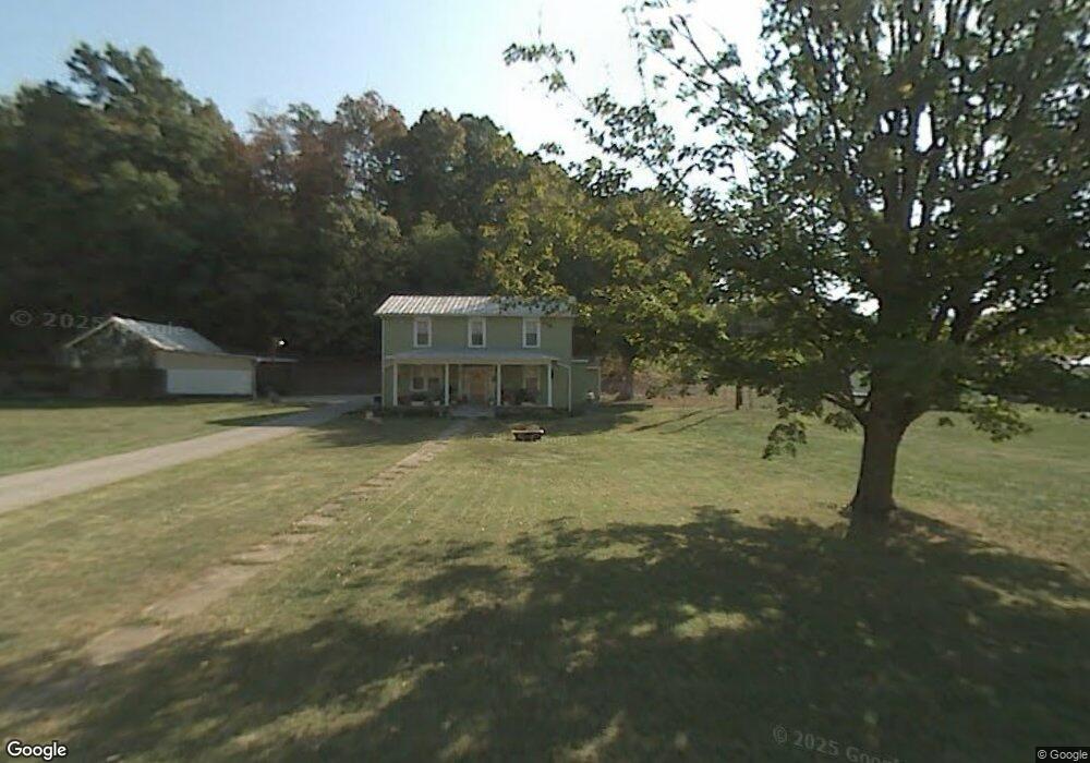
5565 State Route 243 Ironton, OH 45638
Estimated Value: $174,000 - $223,000
5
Beds
2
Baths
2,212
Sq Ft
$87/Sq Ft
Est. Value
About This Home
This home is located at 5565 State Route 243, Ironton, OH 45638 and is currently estimated at $191,986, approximately $86 per square foot. 5565 State Route 243 is a home located in Lawrence County with nearby schools including Dawson-Bryant Elementary School, Dawson-Bryant Middle School, and Dawson-Bryant High School.
Ownership History
Date
Name
Owned For
Owner Type
Purchase Details
Closed on
Mar 14, 1997
Sold by
Deeds Opal and Frankl Emil
Bought by
Deeds, Opal Life Estate
Current Estimated Value
Create a Home Valuation Report for This Property
The Home Valuation Report is an in-depth analysis detailing your home's value as well as a comparison with similar homes in the area
Home Values in the Area
Average Home Value in this Area
Purchase History
| Date | Buyer | Sale Price | Title Company |
|---|---|---|---|
| Deeds, Opal Life Estate | -- | -- |
Source: Public Records
Tax History Compared to Growth
Tax History
| Year | Tax Paid | Tax Assessment Tax Assessment Total Assessment is a certain percentage of the fair market value that is determined by local assessors to be the total taxable value of land and additions on the property. | Land | Improvement |
|---|---|---|---|---|
| 2024 | -- | $36,190 | $12,590 | $23,600 |
| 2023 | $1,030 | $36,190 | $12,590 | $23,600 |
| 2022 | $1,028 | $36,190 | $12,590 | $23,600 |
| 2021 | $871 | $30,700 | $10,270 | $20,430 |
| 2020 | $886 | $30,700 | $10,270 | $20,430 |
| 2019 | $883 | $30,700 | $10,270 | $20,430 |
| 2018 | $896 | $30,810 | $10,270 | $20,540 |
| 2017 | $894 | $30,810 | $10,270 | $20,540 |
| 2016 | $825 | $30,810 | $10,270 | $20,540 |
| 2015 | $739 | $25,390 | $10,280 | $15,110 |
| 2014 | $730 | $25,390 | $10,280 | $15,110 |
| 2013 | $701 | $24,400 | $10,280 | $14,120 |
Source: Public Records
Map
Nearby Homes
- 6881 State Route 243
- 1122 Township Road 266
- 1122 Township Road 266
- 1225 County Road 15
- 119 County Road 15
- 719 County Road 15
- 2088 State Route 243
- 342 Township Road 296
- 156 Township Road 181
- 571 County Road 52
- 3859 County Road 15
- 3421 Central Ave
- 3032 Carter Ave
- 3024 Carter Ave
- 2829 Carter Ave
- 3230 Bath Ave
- 103 Carrico Dr
- 0 27th Block of Carter Ave
- 119 Remy St
- 2920 Bath Ave
- 5649 State Route 243
- 5601 State Route 243
- 45 Private Drive 5713
- 5679 State Route 243
- 33 Pvt Dr 5713 State Route 243
- 5699 Ohio 243
- 5699 State Route 243
- 45 Pvt Dr 5713 State Route 243
- 5723 State Route 243
- Lot 30 Arrow Dr
- 87 Pvt Dr 5713 State Route 243
- 2679 County Road 56
- 45 Township Road 1376
- 5787 State Route 243
- 81 Township Road 1376
- 60 Private Road 5737 Unit 243
- 5789 State Route 243
- 2597 County Road 56
- 88 Private Road 5737 Unit 243
- 5807 State Route 243