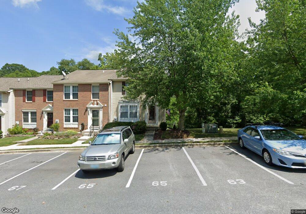
5565 Talbot Ct New Market, MD 21774
Estimated Value: $357,000 - $395,000
--
Bed
3
Baths
1,248
Sq Ft
$301/Sq Ft
Est. Value
About This Home
This home is located at 5565 Talbot Ct, New Market, MD 21774 and is currently estimated at $376,060, approximately $301 per square foot. 5565 Talbot Ct is a home located in Frederick County with nearby schools including New Market Elementary School, New Market Middle School, and Linganore High School.
Ownership History
Date
Name
Owned For
Owner Type
Purchase Details
Closed on
Sep 3, 1996
Sold by
Brossart Christopher B and Brossart Traci L
Bought by
Mcfadden Robert E and Mcfadden Christine J
Current Estimated Value
Purchase Details
Closed on
Nov 13, 1991
Sold by
Ryan Operations Gp
Bought by
Brossart Christopher B and Brossart Traci L
Home Financials for this Owner
Home Financials are based on the most recent Mortgage that was taken out on this home.
Original Mortgage
$113,150
Interest Rate
8.76%
Purchase Details
Closed on
Aug 21, 1991
Sold by
Nvr-Fdi Associates
Bought by
Ryan Operations Gp
Home Financials for this Owner
Home Financials are based on the most recent Mortgage that was taken out on this home.
Original Mortgage
$680,750
Interest Rate
9.19%
Create a Home Valuation Report for This Property
The Home Valuation Report is an in-depth analysis detailing your home's value as well as a comparison with similar homes in the area
Home Values in the Area
Average Home Value in this Area
Purchase History
| Date | Buyer | Sale Price | Title Company |
|---|---|---|---|
| Mcfadden Robert E | $114,900 | -- | |
| Brossart Christopher B | $111,800 | -- | |
| Ryan Operations Gp | $223,200 | -- |
Source: Public Records
Mortgage History
| Date | Status | Borrower | Loan Amount |
|---|---|---|---|
| Previous Owner | Brossart Christopher B | $113,150 | |
| Previous Owner | Ryan Operations Gp | $680,750 | |
| Closed | Mcfadden Robert E | -- |
Source: Public Records
Tax History Compared to Growth
Tax History
| Year | Tax Paid | Tax Assessment Tax Assessment Total Assessment is a certain percentage of the fair market value that is determined by local assessors to be the total taxable value of land and additions on the property. | Land | Improvement |
|---|---|---|---|---|
| 2025 | $3,273 | $294,767 | -- | -- |
| 2024 | $3,273 | $269,600 | $100,000 | $169,600 |
| 2023 | $2,997 | $256,233 | $0 | $0 |
| 2022 | $2,858 | $242,867 | $0 | $0 |
| 2021 | $2,598 | $229,500 | $66,000 | $163,500 |
| 2020 | $2,598 | $218,267 | $0 | $0 |
| 2019 | $2,477 | $207,033 | $0 | $0 |
| 2018 | $2,383 | $195,800 | $55,000 | $140,800 |
| 2017 | $2,347 | $195,800 | $0 | $0 |
| 2016 | $2,280 | $193,200 | $0 | $0 |
| 2015 | $2,280 | $191,900 | $0 | $0 |
| 2014 | $2,280 | $191,900 | $0 | $0 |
Source: Public Records
Map
Nearby Homes
- 5518 Roy Ct
- 5633 Tessie Ct
- 11128 Worchester Dr
- 25 W Main St
- 308 E Wainscot Dr
- 10816 Dewey Way E
- 5810 Whiterose Way
- 10611 Victorian Ave
- 5909 Constance Way
- 5816 Drexal Ave
- 5948 Jacobean Place
- 10576 Edwardian Ln
- 4936D Green Valley Rd
- 5721 Meyer Ave
- 5730 Meyer Ave
- 4920 Ed Mcclain Rd
- 6115 Huckleberry Way
- 10334 Old National Pike
- 5613 Bobolink Trail
- 6184 Sawyer Rd