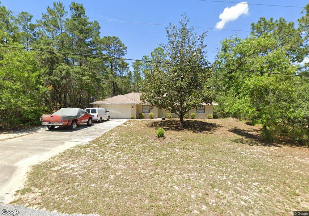
5565 W Cisco St Beverly Hills, FL 34465
Estimated Value: $282,618 - $331,000
3
Beds
2
Baths
1,388
Sq Ft
$224/Sq Ft
Est. Value
About This Home
This home is located at 5565 W Cisco St, Beverly Hills, FL 34465 and is currently estimated at $311,405, approximately $224 per square foot. 5565 W Cisco St is a home located in Citrus County with nearby schools including Crystal River High School, Central Ridge Elementary School, and Crystal River Middle School.
Ownership History
Date
Name
Owned For
Owner Type
Purchase Details
Closed on
Apr 5, 2016
Sold by
Buzzurro Barry S
Bought by
Mason Kevin C
Current Estimated Value
Home Financials for this Owner
Home Financials are based on the most recent Mortgage that was taken out on this home.
Original Mortgage
$101,850
Outstanding Balance
$80,754
Interest Rate
3.62%
Mortgage Type
New Conventional
Estimated Equity
$230,651
Purchase Details
Closed on
Apr 1, 1992
Bought by
Mason Kevin C
Purchase Details
Closed on
Jan 1, 1988
Bought by
Mason Kevin C
Purchase Details
Closed on
Jun 1, 1985
Bought by
Mason Kevin C
Create a Home Valuation Report for This Property
The Home Valuation Report is an in-depth analysis detailing your home's value as well as a comparison with similar homes in the area
Home Values in the Area
Average Home Value in this Area
Purchase History
| Date | Buyer | Sale Price | Title Company |
|---|---|---|---|
| Mason Kevin C | $105,000 | Southern Security Title Svcs | |
| Mason Kevin C | $100 | -- | |
| Mason Kevin C | $100 | -- | |
| Mason Kevin C | $6,500 | -- |
Source: Public Records
Mortgage History
| Date | Status | Borrower | Loan Amount |
|---|---|---|---|
| Open | Mason Kevin C | $101,850 |
Source: Public Records
Tax History Compared to Growth
Tax History
| Year | Tax Paid | Tax Assessment Tax Assessment Total Assessment is a certain percentage of the fair market value that is determined by local assessors to be the total taxable value of land and additions on the property. | Land | Improvement |
|---|---|---|---|---|
| 2024 | $1,199 | $113,282 | -- | -- |
| 2023 | $1,199 | $109,983 | $0 | $0 |
| 2022 | $1,122 | $106,780 | $0 | $0 |
| 2021 | $1,076 | $103,670 | $0 | $0 |
| 2020 | $1,011 | $129,220 | $15,070 | $114,150 |
| 2019 | $993 | $116,174 | $14,870 | $101,304 |
| 2018 | $963 | $111,856 | $13,560 | $98,296 |
| 2017 | $954 | $96,060 | $13,830 | $82,230 |
| 2016 | $1,581 | $93,680 | $13,980 | $79,700 |
| 2015 | $1,525 | $88,176 | $14,280 | $73,896 |
| 2014 | $1,535 | $85,810 | $15,810 | $70,000 |
Source: Public Records
Map
Nearby Homes
- 5348 N Tee Pee Dr
- 5219 N El Paso Terrace
- 5664 W Chino Dr
- 5725 N Durango Terrace
- 5235 N Sonora Terrace
- 5703 W Chino Dr
- 5400 W Conestoga St
- 4630 N Buffalo Dr
- 5784 N Durango Terrace
- 5338 W Corral Place
- 5408 W Corral Place
- 5138 N Buffalo
- 6167 W Rio Grande Dr
- 5819 W Glory Hill St
- 5873 W Conestoga St
- 5070 W Wichita Dr
- 5417 N Crossgate Point
- 5396 W Pine Ridge Blvd
- 5432 N Pecos Terrace
- 5032 N Crossgate Point
- 5346 W Cisco St
- 5784 W Cisco St
- 5538 W Cisco St
- 5507 W Cisco St
- 5538 W Pawnee Dr
- 5594 W Cisco St
- 5614 W Pawnee Dr
- 5510 W Pawnee Dr
- 5624 W Cisco St
- 5405 N Cheyenne Dr
- 5632 W Pawnee Dr
- 5465 W Cisco St
- 5653 W Cisco St
- 5490 W Pawnee Dr
- 5288 N Cimarron Dr
- 5276 N Cimarron Dr
- 5373 N Cheyenne Dr
- 5585 W Pawnee Dr
- 5520 W Fort Drum Dr