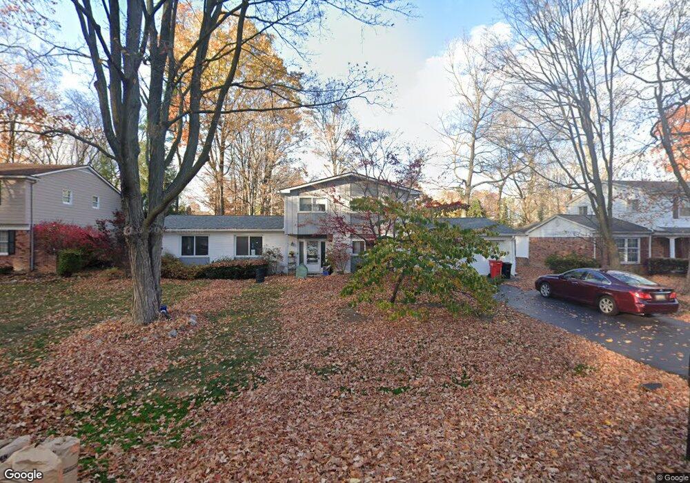
5566 Normanhurst West Bloomfield, MI 48322
Estimated Value: $441,000 - $489,000
4
Beds
3
Baths
2,357
Sq Ft
$197/Sq Ft
Est. Value
About This Home
This home is located at 5566 Normanhurst, West Bloomfield, MI 48322 and is currently estimated at $463,531, approximately $196 per square foot. 5566 Normanhurst is a home located in Oakland County with nearby schools including Wood Creek Elementary School, Warner Upper Elementary School, and Bloomfield Maples Montessori.
Ownership History
Date
Name
Owned For
Owner Type
Purchase Details
Closed on
Jul 8, 2015
Sold by
Sattler Fried Janis E
Bought by
Declarat Sattler Fried Janis E and Declarat Janis E Sattler Fried
Current Estimated Value
Home Financials for this Owner
Home Financials are based on the most recent Mortgage that was taken out on this home.
Original Mortgage
$75,000
Outstanding Balance
$58,481
Interest Rate
3.86%
Mortgage Type
Credit Line Revolving
Estimated Equity
$405,050
Purchase Details
Closed on
Oct 25, 2002
Sold by
Sattler-Fried Janis E
Bought by
Janis E Sattler-Fried Tr
Create a Home Valuation Report for This Property
The Home Valuation Report is an in-depth analysis detailing your home's value as well as a comparison with similar homes in the area
Home Values in the Area
Average Home Value in this Area
Purchase History
| Date | Buyer | Sale Price | Title Company |
|---|---|---|---|
| Declarat Sattler Fried Janis E | -- | None Available | |
| Sattler Fried Janis E | -- | None Available | |
| Janis E Sattler-Fried Tr | -- | -- |
Source: Public Records
Mortgage History
| Date | Status | Borrower | Loan Amount |
|---|---|---|---|
| Open | Sattler Fried Janis E | $75,000 |
Source: Public Records
Tax History Compared to Growth
Tax History
| Year | Tax Paid | Tax Assessment Tax Assessment Total Assessment is a certain percentage of the fair market value that is determined by local assessors to be the total taxable value of land and additions on the property. | Land | Improvement |
|---|---|---|---|---|
| 2024 | $1,909 | $208,550 | $0 | $0 |
| 2022 | $1,674 | $99,150 | $39,990 | $59,160 |
| 2021 | $3,364 | $130,150 | $0 | $0 |
| 2020 | $1,759 | $132,250 | $39,850 | $92,400 |
| 2018 | $3,362 | $120,600 | $28,880 | $91,720 |
| 2015 | -- | $93,490 | $0 | $0 |
| 2014 | -- | $84,440 | $0 | $0 |
| 2011 | -- | $78,980 | $0 | $0 |
Source: Public Records
Map
Nearby Homes
- 7023 Wild Ridge Ln
- 7027 Beverly Crest Dr
- 7335 Coach Ln
- 6769 Heather Heath
- 7421 Heather Heath
- 7251 N Briarcliff Knoll Dr
- 7477 Heather Heath
- 6843 Leslee Crest Dr
- 6624 Mellow Wood Ln
- 30515 W 14 Mile Rd Unit 30
- 30515 W 14 Mile Rd Unit 37
- 30475 W 14 Mile Rd Unit 80
- 30475 W 14 Mile Rd Unit 95
- 7496 Cornwall Ct
- 5312 Cambourne Place
- 6564 Alderley Way
- 4392 Gateway Cir Unit 59
- 7477 Gramercy Cir Unit 17
- 7479 Gramercy Cir Unit 16
- 7209 Stonebrook Rd
- 5572 Normanhurst
- 5560 Normanhurst Unit Bldg-Unit
- 5560 Normanhurst
- 5569 Northcote
- 5575 Northcote
- 5563 Northcote
- 5565 Normanhurst
- 5578 Normanhurst
- 6006 Strawberry Circ Normanhurst
- 5571 Normanhurst
- 5559 Normanhurst
- 5554 Normanhurst
- 5581 Northcote
- 5557 Northcote
- 5577 Normanhurst
- 5584 Normanhurst
- 5548 Normanhurst
- 5553 Normanhurst
- 5587 Northcote
- 5576 Northcote