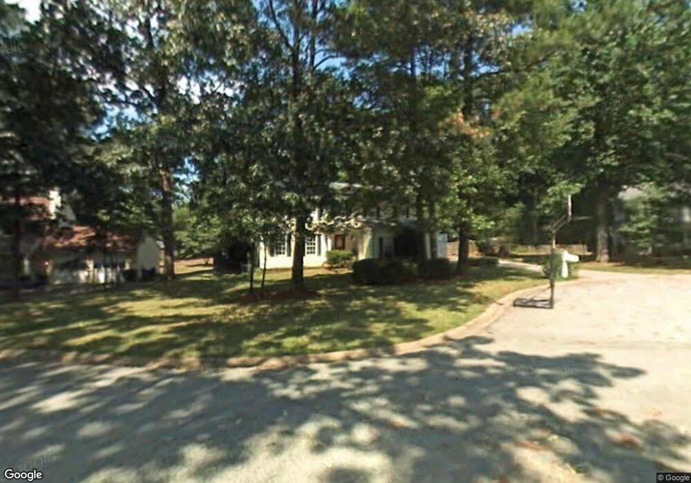
5567 Patrick Ct Unit 3 Norcross, GA 30092
Estimated Value: $518,397 - $561,000
4
Beds
3
Baths
2,223
Sq Ft
$244/Sq Ft
Est. Value
About This Home
This home is located at 5567 Patrick Ct Unit 3, Norcross, GA 30092 and is currently estimated at $542,849, approximately $244 per square foot. 5567 Patrick Ct Unit 3 is a home located in Gwinnett County with nearby schools including Simpson Elementary School, Pinckneyville Middle School, and Norcross High School.
Ownership History
Date
Name
Owned For
Owner Type
Purchase Details
Closed on
Jul 7, 1999
Sold by
Swart Jacques P and Swart Joyce A
Bought by
Wilson Frederick H and Wilson Melanie W
Current Estimated Value
Home Financials for this Owner
Home Financials are based on the most recent Mortgage that was taken out on this home.
Original Mortgage
$157,000
Outstanding Balance
$42,655
Interest Rate
7.66%
Mortgage Type
New Conventional
Estimated Equity
$500,194
Create a Home Valuation Report for This Property
The Home Valuation Report is an in-depth analysis detailing your home's value as well as a comparison with similar homes in the area
Home Values in the Area
Average Home Value in this Area
Purchase History
| Date | Buyer | Sale Price | Title Company |
|---|---|---|---|
| Wilson Frederick H | $175,000 | -- |
Source: Public Records
Mortgage History
| Date | Status | Borrower | Loan Amount |
|---|---|---|---|
| Open | Wilson Frederick H | $157,000 |
Source: Public Records
Tax History
| Year | Tax Paid | Tax Assessment Tax Assessment Total Assessment is a certain percentage of the fair market value that is determined by local assessors to be the total taxable value of land and additions on the property. | Land | Improvement |
|---|---|---|---|---|
| 2025 | $4,635 | $182,000 | $40,000 | $142,000 |
| 2024 | $4,325 | $189,360 | $40,000 | $149,360 |
| 2023 | $4,325 | $179,200 | $36,400 | $142,800 |
| 2022 | $4,286 | $158,880 | $32,800 | $126,080 |
| 2021 | $3,974 | $139,440 | $26,240 | $113,200 |
| 2020 | $3,907 | $134,960 | $26,000 | $108,960 |
| 2019 | $3,828 | $134,960 | $26,000 | $108,960 |
| 2018 | $3,532 | $120,680 | $24,000 | $96,680 |
| 2016 | $2,845 | $90,800 | $24,000 | $66,800 |
| 2015 | $2,871 | $90,800 | $24,000 | $66,800 |
| 2014 | $2,744 | $90,800 | $24,000 | $66,800 |
Source: Public Records
Map
Nearby Homes
- 5545 Fitzpatrick Terrace
- 4266 Jones Bridge Cir
- 4373 Fielding Ln
- 5630 Knox Ct
- 5727 Shawn Terrace
- 4635 Walden Trace
- 4457 Stilson Cir Unit 13
- 4594 Cape Kure Ct
- 4585 Southport Crossing
- 4295 Shawn Ct
- 5221 W Jones Bridge Rd
- 4566 Stilson Cir
- 5350 Wickershire Dr
- 4220 Mary Ct
- 5716 Fairley Hall Ct
- 5375 Fox Hill Dr
- 5830 Wilbanks Dr
- 5891 Ranger Ct Unit 2
- 5124 Bandolino Ln Unit 323
- 4477 Watervale Way Unit 286
- 5577 Patrick Ct
- 5557 Patrick Ct Unit 3
- 5554 Fitzpatrick Terrace Unit 3
- 5564 Fitzpatrick Terrace Unit 3
- 5547 Patrick Ct
- 5587 Patrick Ct
- 5544 Fitzpatrick Terrace
- 5558 Patrick Ct
- 5574 Fitzpatrick Terrace Unit 3
- 5588 Patrick Ct
- 5537 Patrick Ct
- 4246 Springfield Dr Unit 2
- 4236 Springfield Dr
- 5584 Fitzpatrick Terrace
- 4256 Springfield Dr
- 4226 Springfield Dr
- 5597 Patrick Ct
- 4433 Fitzpatrick Way Unit 3
- 5528 Patrick Ct Unit 3
- 4266 Springfield Dr Unit 2
Your Personal Tour Guide
Ask me questions while you tour the home.