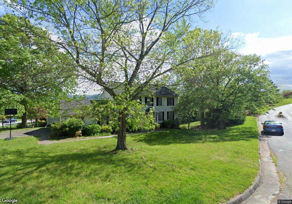
5567 Penguin Dr Roanoke, VA 24018
Cave Spring NeighborhoodEstimated Value: $457,000 - $478,000
4
Beds
4
Baths
3,274
Sq Ft
$143/Sq Ft
Est. Value
About This Home
This home is located at 5567 Penguin Dr, Roanoke, VA 24018 and is currently estimated at $468,717, approximately $143 per square foot. 5567 Penguin Dr is a home located in Roanoke County with nearby schools including Penn Forest Elementary School, Cave Spring Middle School, and Cave Spring High School.
Ownership History
Date
Name
Owned For
Owner Type
Purchase Details
Closed on
Jun 30, 2010
Sold by
Bass Michael C and Bass Shelly
Bought by
Lavinder Aaron T and Lavinder Jill S
Current Estimated Value
Home Financials for this Owner
Home Financials are based on the most recent Mortgage that was taken out on this home.
Original Mortgage
$200,000
Outstanding Balance
$133,961
Interest Rate
4.88%
Mortgage Type
New Conventional
Estimated Equity
$334,756
Create a Home Valuation Report for This Property
The Home Valuation Report is an in-depth analysis detailing your home's value as well as a comparison with similar homes in the area
Home Values in the Area
Average Home Value in this Area
Purchase History
| Date | Buyer | Sale Price | Title Company |
|---|---|---|---|
| Lavinder Aaron T | $275,000 | Fidelity |
Source: Public Records
Mortgage History
| Date | Status | Borrower | Loan Amount |
|---|---|---|---|
| Open | Lavinder Aaron T | $200,000 |
Source: Public Records
Tax History Compared to Growth
Tax History
| Year | Tax Paid | Tax Assessment Tax Assessment Total Assessment is a certain percentage of the fair market value that is determined by local assessors to be the total taxable value of land and additions on the property. | Land | Improvement |
|---|---|---|---|---|
| 2025 | $4,279 | $415,400 | $71,300 | $344,100 |
| 2024 | $3,855 | $370,700 | $66,500 | $304,200 |
| 2023 | $3,759 | $354,600 | $61,800 | $292,800 |
| 2022 | $3,268 | $299,800 | $52,300 | $247,500 |
| 2021 | $3,134 | $287,500 | $47,500 | $240,000 |
| 2020 | $3,109 | $285,200 | $47,500 | $237,700 |
| 2019 | $3,081 | $282,700 | $47,500 | $235,200 |
| 2018 | $2,971 | $276,300 | $47,500 | $228,800 |
| 2017 | $2,971 | $272,600 | $46,600 | $226,000 |
| 2016 | $2,942 | $269,900 | $46,600 | $223,300 |
| 2015 | $2,891 | $265,200 | $44,700 | $220,500 |
| 2014 | $2,822 | $258,900 | $42,800 | $216,100 |
Source: Public Records
Map
Nearby Homes
- 3608 Verona Trail
- 5666 Penguin Dr
- 4131 Snowbird Cir
- 3936 Skylark Cir
- 3004 Woodthrush Dr
- 2926 Waxwing Cir
- 3457 Kenwick Trail
- 2973 Tree Swallow Rd
- 2952 Tree Swallow Rd
- 4005 Chaparral Dr
- 3351 Forest Ridge Rd
- 3349 Forest Ridge Rd
- 3263 Forest Ridge Rd
- 3384 Morning Dove Rd
- 3337 Hollyfield Cir
- 4935 Merriman Rd
- 2633 Wood Warbler Ln
- 3400 Kim Ct Unit A2
- 3400 Kim Ct Unit A25
- 3400 Kim Ct Unit A9
- 5575 Penguin Dr
- 3717 Kenwick Trail
- 5583 Penguin Dr
- 3719 Kenwick Trail
- 5568 Penguin Dr
- 3640 Kenwick Trail
- 5574 Penguin Dr
- 3727 Kenwick Trail
- 3701 Kenwick Trail
- 5591 Penguin Dr
- 3729 Kenwick Trail
- 3731 Kenwick Trail
- 5582 Penguin Dr
- 3733 Kenwick Trail
- 3632 Kenwick Trail
- 5590 Penguin Dr
- 3641 Kenwick Trail
- 5599 Penguin Dr
- 3739 Kenwick Trail
- 4091 Snowgoose Cir