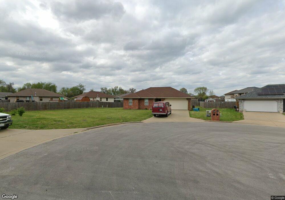
5567 W David St Springfield, MO 65802
Estimated Value: $211,000 - $260,000
3
Beds
2
Baths
1,200
Sq Ft
$189/Sq Ft
Est. Value
About This Home
This home is located at 5567 W David St, Springfield, MO 65802 and is currently estimated at $227,398, approximately $189 per square foot. 5567 W David St is a home located in Greene County with nearby schools including Willard Orchard Hills Elementary School and Willard Intermediate-South.
Ownership History
Date
Name
Owned For
Owner Type
Purchase Details
Closed on
Feb 25, 2010
Sold by
Britain Tessa M
Bought by
Morelock Ross Properties Inc
Current Estimated Value
Purchase Details
Closed on
Feb 27, 2008
Sold by
Britain Tessa M
Bought by
Morelock Ross Properties Inc
Create a Home Valuation Report for This Property
The Home Valuation Report is an in-depth analysis detailing your home's value as well as a comparison with similar homes in the area
Home Values in the Area
Average Home Value in this Area
Purchase History
| Date | Buyer | Sale Price | Title Company |
|---|---|---|---|
| Morelock Ross Properties Inc | -- | None Available | |
| Morelock Ross Properties Inc | -- | None Available |
Source: Public Records
Tax History
| Year | Tax Paid | Tax Assessment Tax Assessment Total Assessment is a certain percentage of the fair market value that is determined by local assessors to be the total taxable value of land and additions on the property. | Land | Improvement |
|---|---|---|---|---|
| 2025 | $1,786 | $31,620 | $8,550 | $23,070 |
| 2024 | $1,428 | $25,460 | $3,800 | $21,660 |
| 2023 | $1,421 | $25,460 | $3,800 | $21,660 |
| 2022 | $1,236 | $21,950 | $3,800 | $18,150 |
| 2021 | $1,237 | $21,950 | $3,800 | $18,150 |
| 2020 | $1,038 | $20,010 | $3,800 | $16,210 |
| 2019 | $1,034 | $20,010 | $3,800 | $16,210 |
| 2018 | $953 | $18,340 | $3,800 | $14,540 |
| 2017 | $945 | $18,340 | $3,800 | $14,540 |
| 2016 | $940 | $18,340 | $3,800 | $14,540 |
| 2015 | $933 | $18,340 | $3,800 | $14,540 |
| 2014 | $932 | $18,180 | $3,800 | $14,380 |
Source: Public Records
Map
Nearby Homes
- 875 S Natalie Ave
- 795 S Natalie Ave
- 5439 W Harrison St
- 820 S Quade Rd
- 5817 W Alexa Ln
- 768 S Long Dr
- 5669 W Sunflower Dr
- 5355 Basswood Ct W
- 5560 W Longleaf Dr
- 5163 W Sunstruck St
- 5175 W Sunstruck St
- 5131 W Sunstruck St
- 5635 W Mangrove St
- 000 W Independence Dr
- 5021 W Tarkio St
- 1236 S Birch Ave
- 5145 W Sunstruck St
- 413 S Dove Valley Ave
- 4800 W Mount Vernon St
- 6424 W Farm Road 140
- 5559 W David St
- 5574 W David St
- 860 S Natalie Ave
- 868 S Natalie Ave
- 852 S Natalie Ave
- 5568 W David St
- 5551 W David St
- 876 S Natalie Ave
- 5558 Clyde St W
- 5560 W David St
- 884 S Natalie Ave
- 5543 W David St
- 5552 W David St
- 5546 Clyde St W
- 5544 W David St
- 836 S Natalie Ave
- 5559 Clyde St W
- 892 S Natalie Ave
- 859 S Natalie Ave
- 867 S Natalie Ave
Your Personal Tour Guide
Ask me questions while you tour the home.