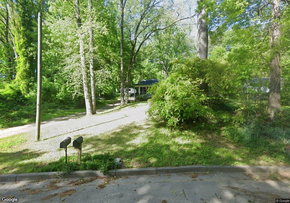
5568 Lakeside Dr Union City, GA 30291
Estimated Value: $162,388 - $227,000
3
Beds
2
Baths
1,468
Sq Ft
$135/Sq Ft
Est. Value
About This Home
This home is located at 5568 Lakeside Dr, Union City, GA 30291 and is currently estimated at $197,597, approximately $134 per square foot. 5568 Lakeside Dr is a home located in Fulton County with nearby schools including Campbell Elementary School, Renaissance Middle School, and Creekside High School.
Ownership History
Date
Name
Owned For
Owner Type
Purchase Details
Closed on
Apr 30, 2004
Sold by
Carroll Douglas E
Bought by
Cunningham Sandra J
Current Estimated Value
Home Financials for this Owner
Home Financials are based on the most recent Mortgage that was taken out on this home.
Original Mortgage
$88,000
Outstanding Balance
$40,853
Interest Rate
5.36%
Mortgage Type
New Conventional
Estimated Equity
$156,744
Purchase Details
Closed on
Oct 25, 2000
Sold by
Carroll Douglas E
Bought by
Carroll Douglas E
Home Financials for this Owner
Home Financials are based on the most recent Mortgage that was taken out on this home.
Original Mortgage
$82,800
Interest Rate
7.93%
Mortgage Type
New Conventional
Purchase Details
Closed on
Aug 21, 2000
Sold by
Crowe B L
Bought by
Carroll Douglas
Home Financials for this Owner
Home Financials are based on the most recent Mortgage that was taken out on this home.
Original Mortgage
$27,000
Interest Rate
8.17%
Mortgage Type
New Conventional
Create a Home Valuation Report for This Property
The Home Valuation Report is an in-depth analysis detailing your home's value as well as a comparison with similar homes in the area
Home Values in the Area
Average Home Value in this Area
Purchase History
| Date | Buyer | Sale Price | Title Company |
|---|---|---|---|
| Cunningham Sandra J | $110,000 | -- | |
| Carroll Douglas E | -- | -- | |
| Carroll Douglas | $40,000 | -- |
Source: Public Records
Mortgage History
| Date | Status | Borrower | Loan Amount |
|---|---|---|---|
| Open | Cunningham Sandra J | $88,000 | |
| Previous Owner | Carroll Douglas E | $82,800 | |
| Previous Owner | Carroll Douglas | $27,000 |
Source: Public Records
Tax History Compared to Growth
Tax History
| Year | Tax Paid | Tax Assessment Tax Assessment Total Assessment is a certain percentage of the fair market value that is determined by local assessors to be the total taxable value of land and additions on the property. | Land | Improvement |
|---|---|---|---|---|
| 2025 | $971 | $84,600 | $10,000 | $74,600 |
| 2023 | $1,799 | $63,720 | $14,640 | $49,080 |
| 2022 | $394 | $36,000 | $10,520 | $25,480 |
| 2021 | $292 | $27,000 | $7,440 | $19,560 |
| 2020 | $289 | $22,960 | $3,840 | $19,120 |
| 2019 | $607 | $22,560 | $3,760 | $18,800 |
| 2018 | $223 | $14,320 | $2,680 | $11,640 |
| 2017 | $222 | $13,760 | $2,600 | $11,160 |
| 2016 | $221 | $13,760 | $2,600 | $11,160 |
| 2015 | $438 | $13,760 | $2,600 | $11,160 |
| 2014 | $272 | $16,360 | $3,080 | $13,280 |
Source: Public Records
Map
Nearby Homes
- 6200 Ward Rd
- 0 Ward Rd Unit 7174145
- 0 Ward Rd Unit 20102427
- 6211 Ward Rd
- 0 Lakeside Dr Unit 22475152
- 0 Lakeside Dr Unit 7515650
- 0 Lower Dixie Lake Rd Unit 22475153
- 0 Lower Dixie Lake Rd Unit 7515143
- 6030 Stonewall Dr
- 5278 Park Ave
- 5207 Dixie Lake Rd
- 4458 Manor Hill Dr
- 4443 Manor Hill Dr
- 4439 Manor Hill Dr Unit 11
- 5135 Hilltop Dr
- 5900 Union Woods Way
- 6385 Lower Dixie Lake Rd
- Sudbury Plan at Pointe Park
- ROBIE Plan at Pointe Park
- ELSTON Plan at Pointe Park
- 5558 Lakeside Dr
- 5580 Lakeside Dr
- 5552 Lakeside Dr
- 6160 Forrest Ave
- 6146 Forrest Ave
- 5596 Lakeside Dr
- 5544 Lakeside Dr
- 6170 Forrest Ave
- 0 Lakside Dr Unit 8288449
- O Lakside Dr
- 6180 Forrest Ave
- 6180 Forrest Ave
- 6175 Forrest Ave
- 6145 Forrest Ave
- 5530 Lakeside Dr
- 6155 Forrest Ave
- 6165 Forrest Ave
- 6135 Forrest Ave
- 6190 Forrest Ave
- 5520 Lakeside Dr