5568 W 700 N Thorntown, IN 46071
Estimated Value: $370,000 - $779,274
2
Beds
2
Baths
1,890
Sq Ft
$273/Sq Ft
Est. Value
About This Home
This home is located at 5568 W 700 N, Thorntown, IN 46071 and is currently estimated at $515,819, approximately $272 per square foot. 5568 W 700 N is a home located in Boone County with nearby schools including Western Boone Junior/Senior High School.
Ownership History
Date
Name
Owned For
Owner Type
Purchase Details
Closed on
Oct 4, 2012
Sold by
Home National Bank
Bought by
Gibson Charles E and Gibson Gaylan E
Current Estimated Value
Purchase Details
Closed on
Jul 5, 2012
Sold by
Keeler Scott Edward and National City Bank
Bought by
Home National Bank Na
Purchase Details
Closed on
Apr 12, 2005
Sold by
Roudebush Robert F and Roudebush Vivian L
Bought by
Keeler Scott E and Keeler Lisa C
Home Financials for this Owner
Home Financials are based on the most recent Mortgage that was taken out on this home.
Original Mortgage
$2,185,800
Interest Rate
5.83%
Mortgage Type
Purchase Money Mortgage
Create a Home Valuation Report for This Property
The Home Valuation Report is an in-depth analysis detailing your home's value as well as a comparison with similar homes in the area
Home Values in the Area
Average Home Value in this Area
Purchase History
| Date | Buyer | Sale Price | Title Company |
|---|---|---|---|
| Gibson Charles E | -- | None Available | |
| Home National Bank Na | $265,652 | None Available | |
| Keeler Scott E | -- | -- |
Source: Public Records
Mortgage History
| Date | Status | Borrower | Loan Amount |
|---|---|---|---|
| Previous Owner | Keeler Scott E | $2,185,800 |
Source: Public Records
Tax History Compared to Growth
Tax History
| Year | Tax Paid | Tax Assessment Tax Assessment Total Assessment is a certain percentage of the fair market value that is determined by local assessors to be the total taxable value of land and additions on the property. | Land | Improvement |
|---|---|---|---|---|
| 2025 | $6,576 | $592,100 | $147,000 | $445,100 |
| 2024 | $6,576 | $566,100 | $149,900 | $416,200 |
| 2023 | $6,440 | $523,800 | $143,000 | $380,800 |
| 2022 | $6,429 | $515,600 | $135,700 | $379,900 |
| 2021 | $5,956 | $447,600 | $131,900 | $315,700 |
| 2020 | $8,225 | $735,500 | $182,000 | $553,500 |
| 2019 | $5,514 | $420,600 | $171,000 | $249,600 |
| 2018 | $5,262 | $494,000 | $255,500 | $238,500 |
| 2017 | $6,181 | $493,300 | $255,500 | $237,800 |
| 2016 | $5,769 | $476,600 | $255,500 | $221,100 |
| 2014 | $5,142 | $447,000 | $255,500 | $191,500 |
| 2013 | $883 | $67,500 | $57,500 | $10,000 |
Source: Public Records
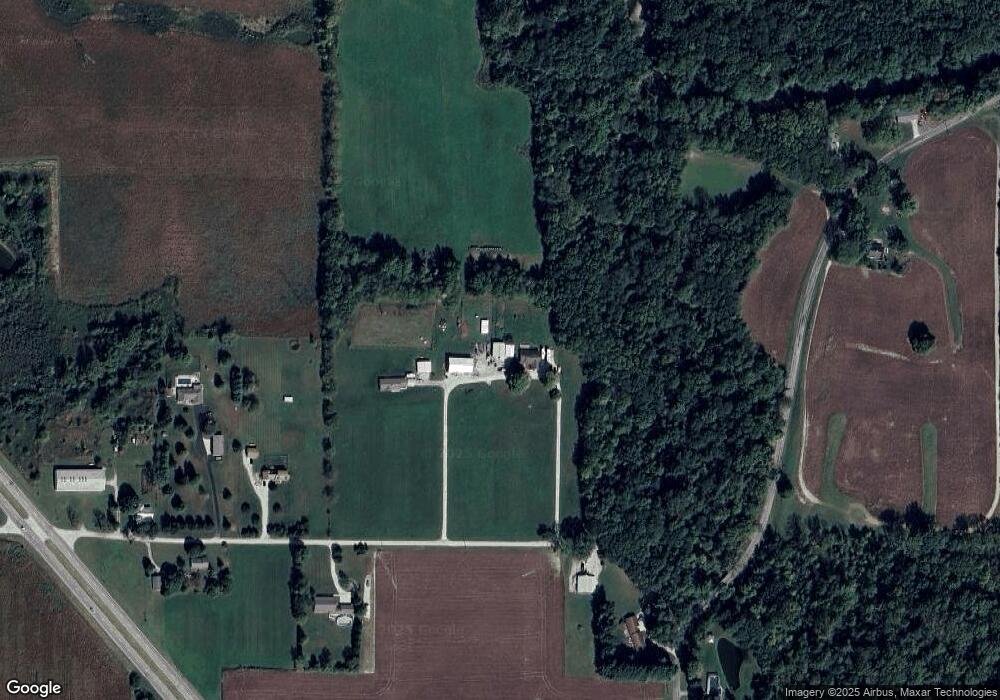
Map
Nearby Homes
- 5779 W State Road 47
- 6433 W State Road 47
- 6691 Indiana 47
- 328 N Front St
- 117 N Market St
- 223 S West St
- 6519 N 350 W
- 1323 Locust Place
- 1321 Locust Place
- 7018 S County Road 430 W
- Ironwood Plan at Northwood Haven
- Spruce Plan at Northwood Haven
- Ashton Plan at Northwood Haven
- Palmetto Plan at Northwood Haven
- Bradford Plan at Northwood Haven
- Aspen II Plan at Northwood Haven
- Empress Plan at Northwood Haven
- Juniper Plan at Northwood Haven
- Chestnut Plan at Northwood Haven
- Norway Plan at Northwood Haven
- 5568 W 700 N
- 5602 W 700 N
- 5656 W 700 N
- 5635 W 700 N
- 5710 W 700 N
- 6946 N Frankfort Rd
- 5789 W 700 N
- 7185 N Frankfort Rd
- 7360 N Frankfort Rd
- 6907 N Frankfort Rd
- 5790 W 700 N
- 5790 W 700 N
- 6823 U S 52
- 6823 N Us Highway 52
- 6850 N Frankfort Rd
- 6834 N Frankfort Rd
- 6856 N Us Highway 52
- 6856 U S 52
- 7015 N Us Highway 52
- 000 W 700 N