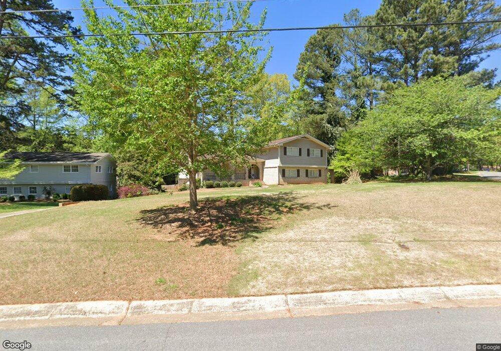
5569 Mill Trace Ct Atlanta, GA 30338
Estimated Value: $698,000 - $763,000
4
Beds
3
Baths
2,926
Sq Ft
$249/Sq Ft
Est. Value
About This Home
This home is located at 5569 Mill Trace Ct, Atlanta, GA 30338 and is currently estimated at $728,511, approximately $248 per square foot. 5569 Mill Trace Ct is a home located in DeKalb County with nearby schools including Austin Elementary School, Peachtree Middle School, and Dunwoody High School.
Ownership History
Date
Name
Owned For
Owner Type
Purchase Details
Closed on
Mar 1, 2019
Sold by
Matysiak Carol D Sweet
Bought by
Trenski Michael J and Trenski Amy B
Current Estimated Value
Home Financials for this Owner
Home Financials are based on the most recent Mortgage that was taken out on this home.
Original Mortgage
$300,000
Outstanding Balance
$263,216
Interest Rate
4.4%
Mortgage Type
New Conventional
Estimated Equity
$465,295
Create a Home Valuation Report for This Property
The Home Valuation Report is an in-depth analysis detailing your home's value as well as a comparison with similar homes in the area
Home Values in the Area
Average Home Value in this Area
Purchase History
| Date | Buyer | Sale Price | Title Company |
|---|---|---|---|
| Trenski Michael J | $435,000 | -- |
Source: Public Records
Mortgage History
| Date | Status | Borrower | Loan Amount |
|---|---|---|---|
| Open | Trenski Michael J | $300,000 |
Source: Public Records
Tax History Compared to Growth
Tax History
| Year | Tax Paid | Tax Assessment Tax Assessment Total Assessment is a certain percentage of the fair market value that is determined by local assessors to be the total taxable value of land and additions on the property. | Land | Improvement |
|---|---|---|---|---|
| 2025 | $6,075 | $227,960 | $80,000 | $147,960 |
| 2024 | $6,323 | $233,920 | $80,000 | $153,920 |
| 2023 | $6,323 | $229,600 | $80,000 | $149,600 |
| 2022 | $5,820 | $210,960 | $80,000 | $130,960 |
| 2021 | $5,265 | $190,240 | $80,000 | $110,240 |
| 2020 | $4,769 | $163,680 | $80,000 | $83,680 |
| 2019 | $4,603 | $160,360 | $80,000 | $80,360 |
| 2018 | $4,690 | $160,760 | $80,000 | $80,760 |
| 2017 | $5,504 | $165,600 | $70,400 | $95,200 |
| 2016 | $4,631 | $145,640 | $70,400 | $75,240 |
| 2014 | $4,486 | $138,320 | $70,400 | $67,920 |
Source: Public Records
Map
Nearby Homes
- 1293 Witham Dr
- 5625 Roberts Dr
- 5717 Braddock Ct
- 980 Fenimore Cir
- 1605 Saint Tropez Way
- 5697 Whitehall Walk
- 1495 Spalding Dr
- 1136 Coronation Dr
- 1120 Whitehall Pointe
- 8205 Innsbruck Dr
- 5395 Mount Vernon Way
- 5662 Queensborough Dr
- 1665 Chevron Way
- 5816 Chamblee Dunwoody Rd
- 5302 Fairfield N
- 1275 Fairfield E
- 5379 Harris Cir
- 5334 Manhasset Cove Unit 2
- 5565 Mill Trace Ct
- 5603 Mill Trace Dr Unit 4
- 1341 Mill Gate Dr Unit 2
- 5585 Mill Trace Dr
- 5592 Mill Trace Dr
- 5561 Mill Trace Ct
- 1327 Mill Gate Dr Unit 2
- 5561 Mill Trace Ct
- 5576 Mill Trace Dr
- 5600 Mill Trace Dr
- 1317 Mill Gate Dr Unit 3
- 5577 Mill Trace Dr
- 5558 Mill Trace Ct Unit 4
- 5611 Mill Trace Dr Unit 4
- 1354 Mill Glen Dr
- 5608 Mill Trace Dr
- 5617 Mill Race Ct
- 5554 Mill Trace Ct
- 5554 Mill Trace Ct Unit 4
- 5609 Mill Race Ct Unit 5