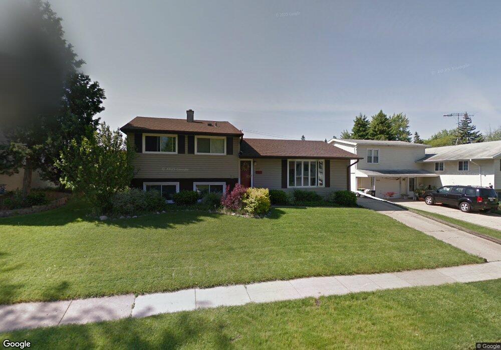
557 Bernard Dr Buffalo Grove, IL 60089
South Buffalo Grove NeighborhoodEstimated Value: $378,000 - $439,000
3
Beds
2
Baths
1,316
Sq Ft
$312/Sq Ft
Est. Value
About This Home
This home is located at 557 Bernard Dr, Buffalo Grove, IL 60089 and is currently estimated at $410,642, approximately $312 per square foot. 557 Bernard Dr is a home located in Cook County with nearby schools including Henry W Longfellow Elementary School, Cooper Middle School, and Buffalo Grove High School.
Ownership History
Date
Name
Owned For
Owner Type
Purchase Details
Closed on
Apr 25, 1997
Sold by
Kotowski Edward A and Kotowski Jill Marie
Bought by
Martinez Kevin S and Martinez Nanci
Current Estimated Value
Home Financials for this Owner
Home Financials are based on the most recent Mortgage that was taken out on this home.
Original Mortgage
$146,000
Outstanding Balance
$19,142
Interest Rate
8.05%
Estimated Equity
$391,500
Purchase Details
Closed on
Jun 14, 1996
Sold by
Kotowski Jill and Majus Robert H
Bought by
Kotowski Edward A and Kotowski Jill Marie
Home Financials for this Owner
Home Financials are based on the most recent Mortgage that was taken out on this home.
Original Mortgage
$96,000
Interest Rate
8.29%
Create a Home Valuation Report for This Property
The Home Valuation Report is an in-depth analysis detailing your home's value as well as a comparison with similar homes in the area
Home Values in the Area
Average Home Value in this Area
Purchase History
| Date | Buyer | Sale Price | Title Company |
|---|---|---|---|
| Martinez Kevin S | $182,500 | -- | |
| Kotowski Edward A | $130,000 | -- |
Source: Public Records
Mortgage History
| Date | Status | Borrower | Loan Amount |
|---|---|---|---|
| Open | Martinez Kevin S | $146,000 | |
| Previous Owner | Kotowski Edward A | $96,000 |
Source: Public Records
Tax History Compared to Growth
Tax History
| Year | Tax Paid | Tax Assessment Tax Assessment Total Assessment is a certain percentage of the fair market value that is determined by local assessors to be the total taxable value of land and additions on the property. | Land | Improvement |
|---|---|---|---|---|
| 2024 | $8,221 | $29,000 | $8,646 | $20,354 |
| 2023 | $7,877 | $29,000 | $8,646 | $20,354 |
| 2022 | $7,877 | $29,000 | $8,646 | $20,354 |
| 2021 | $7,158 | $23,592 | $6,124 | $17,468 |
| 2020 | $7,044 | $23,592 | $6,124 | $17,468 |
| 2019 | $7,064 | $26,243 | $6,124 | $20,119 |
| 2018 | $8,314 | $27,576 | $5,403 | $22,173 |
| 2017 | $8,181 | $27,576 | $5,403 | $22,173 |
| 2016 | $7,877 | $27,576 | $5,403 | $22,173 |
| 2015 | $7,509 | $24,725 | $4,683 | $20,042 |
| 2014 | $7,402 | $24,725 | $4,683 | $20,042 |
| 2013 | $6,824 | $24,725 | $4,683 | $20,042 |
Source: Public Records
Map
Nearby Homes
- 455 Mayfair Ln
- 310 Rosewood Ave
- 665 Thornwood Dr
- 535 Estate Dr
- 571 Estate Dr
- 234 Mohawk Trail
- 859 Beechwood Rd
- 921 Bernard Dr
- 813 Stradford Cir Unit 21B2
- 820 Weidner Rd Unit 4013
- 820 Weidner Rd Unit 409
- 183 Saint Marys Pkwy
- 443 Diane Dr
- 25 Crestview Terrace
- 720 Weidner Rd Unit 302
- 98 Glendale Rd
- 3451 N Carriageway Dr Unit 503
- 12 Oak Creek Dr Unit 2212
- 10 Old Oak Dr Unit 103
- 51 Old Oak Dr Unit 302
- 565 Bernard Dr
- 545 Bernard Dr
- 535 Bernard Dr
- 583 Bernard Dr
- 556 Bernard Dr
- 589 Elmwood Dr
- 564 Bernard Dr
- 591 Elmwood Dr
- 523 Bernard Dr
- 574 Bernard Dr
- 593 Elmwood Dr
- 584 Bernard Dr
- 425 Mayfair Ln
- 513 Bernard Dr
- 561 Mulberry Ct
- 551 Mulberry Ct
- 435 Mayfair Ln
- 594 Bernard Dr
- 524 Bernard Dr
- 595 Elmwood Dr