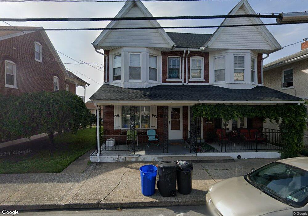
557 Broad St Emmaus, PA 18049
Estimated Value: $191,000 - $284,000
3
Beds
2
Baths
1,444
Sq Ft
$161/Sq Ft
Est. Value
About This Home
This home is located at 557 Broad St, Emmaus, PA 18049 and is currently estimated at $233,009, approximately $161 per square foot. 557 Broad St is a home located in Lehigh County with nearby schools including Lincoln Elementary School, Lower Macungie Middle School, and Emmaus High School.
Ownership History
Date
Name
Owned For
Owner Type
Purchase Details
Closed on
Jun 21, 2022
Sold by
Reinhard Terry L and Reinhard Kay C
Bought by
Kiernan Richard C and Kiernan Leslie A
Current Estimated Value
Purchase Details
Closed on
Mar 28, 1989
Sold by
Wolfe Jr Richard R
Bought by
Reinhard Terry L and Reinhard Kay C
Purchase Details
Closed on
Nov 22, 1988
Sold by
Wolfe Ethel A
Bought by
Wolfe Richard R
Create a Home Valuation Report for This Property
The Home Valuation Report is an in-depth analysis detailing your home's value as well as a comparison with similar homes in the area
Home Values in the Area
Average Home Value in this Area
Purchase History
| Date | Buyer | Sale Price | Title Company |
|---|---|---|---|
| Kiernan Richard C | $140,000 | None Listed On Document | |
| Reinhard Terry L | -- | -- | |
| Wolfe Richard R | -- | -- |
Source: Public Records
Tax History
| Year | Tax Paid | Tax Assessment Tax Assessment Total Assessment is a certain percentage of the fair market value that is determined by local assessors to be the total taxable value of land and additions on the property. | Land | Improvement |
|---|---|---|---|---|
| 2026 | $4,131 | $113,900 | $10,600 | $103,300 |
| 2025 | $3,723 | $105,700 | $10,600 | $95,100 |
| 2024 | $3,410 | $105,700 | $10,600 | $95,100 |
| 2023 | $3,344 | $105,700 | $10,600 | $95,100 |
| 2022 | $3,234 | $105,700 | $95,100 | $10,600 |
| 2021 | $3,153 | $105,700 | $10,600 | $95,100 |
| 2020 | $3,126 | $105,700 | $10,600 | $95,100 |
| 2019 | $3,042 | $105,700 | $10,600 | $95,100 |
| 2018 | $2,928 | $105,700 | $10,600 | $95,100 |
| 2017 | $2,837 | $105,700 | $10,600 | $95,100 |
| 2016 | -- | $105,700 | $10,600 | $95,100 |
| 2015 | -- | $105,700 | $10,600 | $95,100 |
| 2014 | -- | $105,700 | $10,600 | $95,100 |
Source: Public Records
Map
Nearby Homes
- 530 Chestnut St
- 122 S 4th St
- 630 Walnut St
- 543 Long St
- 343 Broad St
- 615-619 Fairview St
- 42 N 4th St
- 615 Fairview St
- 108 MacUngie Ave
- 390 Fairview St Unit 390
- 534 Seem St Unit 540
- 118-122 N 2nd St
- 118 N 2nd St
- 443 N 3rd St
- 120 Harrison St
- 630 N 2nd St
- 97 Chestnut Hill Rd
- 4109 Eveningstar Rd
- 28 Harrison St
- 125 E Elm St
Your Personal Tour Guide
Ask me questions while you tour the home.