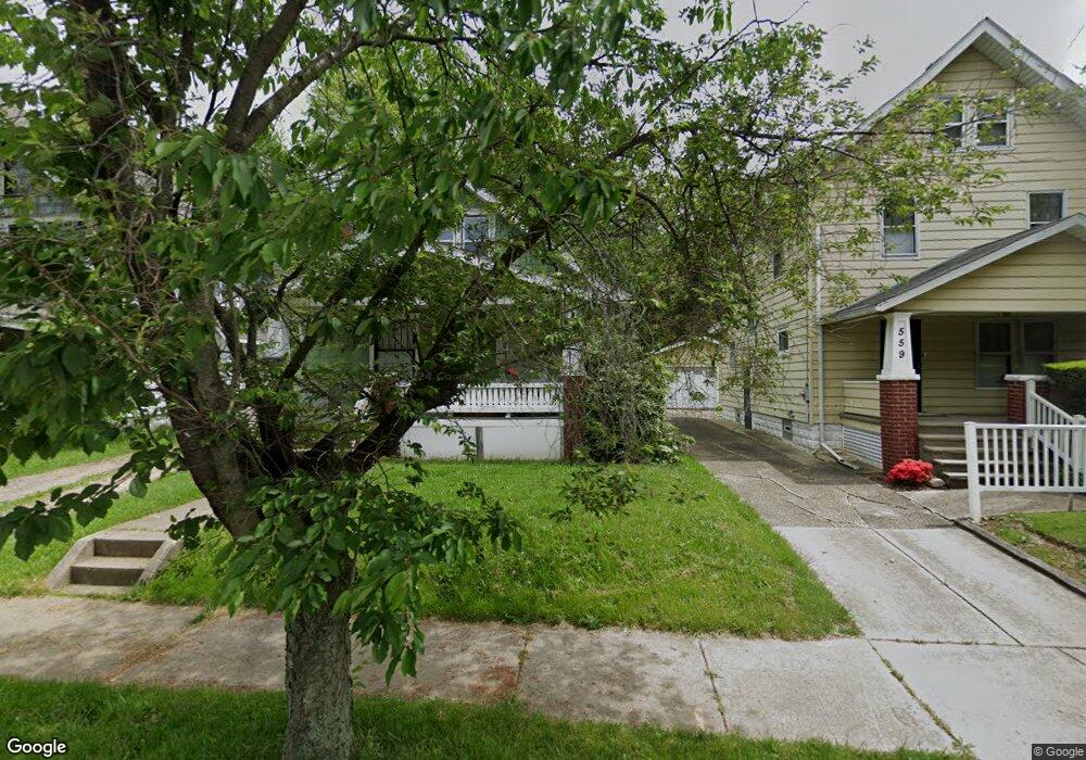
557 Hoye Ave Akron, OH 44320
West Akron NeighborhoodEstimated Value: $99,000 - $110,000
4
Beds
1
Bath
950
Sq Ft
$111/Sq Ft
Est. Value
About This Home
This home is located at 557 Hoye Ave, Akron, OH 44320 and is currently estimated at $105,000, approximately $110 per square foot. 557 Hoye Ave is a home located in Summit County with nearby schools including Towpath Trail High School, St. Vincent Elementary School, and St Vincent-St Mary High School.
Ownership History
Date
Name
Owned For
Owner Type
Purchase Details
Closed on
May 2, 2023
Sold by
Milbry Alisha Marie
Bought by
Milbry Clifford
Current Estimated Value
Purchase Details
Closed on
Jan 13, 2016
Sold by
Milbry Clifford Lewis
Bought by
Milbry Alisha Marie
Purchase Details
Closed on
Aug 20, 2015
Sold by
Solomon Kella
Bought by
Mibry Clifford Lewis
Purchase Details
Closed on
Aug 7, 2007
Sold by
Estate Of Thelma King
Bought by
King James B
Create a Home Valuation Report for This Property
The Home Valuation Report is an in-depth analysis detailing your home's value as well as a comparison with similar homes in the area
Home Values in the Area
Average Home Value in this Area
Purchase History
| Date | Buyer | Sale Price | Title Company |
|---|---|---|---|
| Milbry Clifford | -- | None Listed On Document | |
| Milbry Alisha Marie | $1,000 | Attorney | |
| Mibry Clifford Lewis | $1,000 | Attorney | |
| King James B | -- | None Available |
Source: Public Records
Tax History Compared to Growth
Tax History
| Year | Tax Paid | Tax Assessment Tax Assessment Total Assessment is a certain percentage of the fair market value that is determined by local assessors to be the total taxable value of land and additions on the property. | Land | Improvement |
|---|---|---|---|---|
| 2025 | $1,125 | $10,896 | $3,189 | $7,707 |
| 2024 | $749 | $10,896 | $3,189 | $7,707 |
| 2023 | $1,125 | $10,896 | $3,189 | $7,707 |
| 2022 | $597 | $7,785 | $2,279 | $5,506 |
| 2021 | $597 | $7,785 | $2,279 | $5,506 |
| 2020 | $589 | $7,790 | $2,280 | $5,510 |
| 2019 | $795 | $9,920 | $3,560 | $6,360 |
| 2018 | $785 | $9,920 | $3,560 | $6,360 |
| 2017 | $1,133 | $9,920 | $3,560 | $6,360 |
| 2016 | $810 | $10,080 | $3,560 | $6,520 |
| 2015 | $1,133 | $10,080 | $3,560 | $6,520 |
| 2014 | $8,392 | $10,080 | $3,560 | $6,520 |
| 2013 | $900 | $11,680 | $3,560 | $8,120 |
Source: Public Records
Map
Nearby Homes
- 575 Fernwood Dr
- 605 East Ave
- 573 Madison Ave
- 524 Auld Farm Cir
- 482 Homer Ave
- 614 East Ave
- 568 Auld Farm Cir
- 644 Diagonal Rd
- 875 Orrin St
- 867 Orrin St
- 414 Beechwood Dr
- 686 East Ave
- 888 Peckham St
- 453 Briarwood Dr
- 359 Beechwood Dr
- 636 Noble Ave
- 621 Noah Ave
- 923 Lawton St
- 885 Bye St Unit 887
- 774 Storer Ave