Estimated Value: $336,856 - $392,000
5
Beds
4
Baths
2,603
Sq Ft
$140/Sq Ft
Est. Value
About This Home
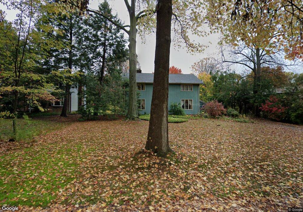
This home is located at 557 Ivan Dr, Kent, OH 44240 and is currently estimated at $364,714, approximately $140 per square foot. 557 Ivan Dr is a home located in Portage County with nearby schools including Holden Elementary School, Stanton Middle School, and Theodore Roosevelt High School.
Ownership History
Date
Name
Owned For
Owner Type
Purchase Details
Closed on
Feb 4, 2009
Sold by
Messersmith Terrance L and Messersmith Paula D
Bought by
Conti Scott L
Current Estimated Value
Home Financials for this Owner
Home Financials are based on the most recent Mortgage that was taken out on this home.
Original Mortgage
$168,000
Outstanding Balance
$104,227
Interest Rate
5.08%
Mortgage Type
Purchase Money Mortgage
Estimated Equity
$260,487
Purchase Details
Closed on
Sep 26, 2005
Sold by
Tapp Carl P and Tapp Regina
Bought by
Messersmith Terrance L and Messersmith Paula D
Home Financials for this Owner
Home Financials are based on the most recent Mortgage that was taken out on this home.
Original Mortgage
$126,700
Interest Rate
5.93%
Mortgage Type
Purchase Money Mortgage
Purchase Details
Closed on
Jun 11, 1999
Sold by
Tapp Henry L
Bought by
Tapp Mary L
Purchase Details
Closed on
Mar 20, 1987
Bought by
Tapp Henry L and Tapp Mary L
Create a Home Valuation Report for This Property
The Home Valuation Report is an in-depth analysis detailing your home's value as well as a comparison with similar homes in the area
Home Values in the Area
Average Home Value in this Area
Purchase History
| Date | Buyer | Sale Price | Title Company |
|---|---|---|---|
| Conti Scott L | $210,000 | Attorney | |
| Messersmith Terrance L | $181,000 | Franklin Mills Title Agency | |
| Tapp Mary L | -- | Approved Statewide Title Age | |
| Tapp Henry L | -- | -- |
Source: Public Records
Mortgage History
| Date | Status | Borrower | Loan Amount |
|---|---|---|---|
| Open | Conti Scott L | $168,000 | |
| Previous Owner | Messersmith Terrance L | $126,700 |
Source: Public Records
Tax History
| Year | Tax Paid | Tax Assessment Tax Assessment Total Assessment is a certain percentage of the fair market value that is determined by local assessors to be the total taxable value of land and additions on the property. | Land | Improvement |
|---|---|---|---|---|
| 2024 | $4,925 | $109,760 | $13,020 | $96,740 |
| 2023 | $4,364 | $78,860 | $12,740 | $66,120 |
| 2022 | $4,355 | $78,860 | $12,740 | $66,120 |
| 2021 | $4,364 | $78,860 | $12,740 | $66,120 |
| 2020 | $3,867 | $62,090 | $12,740 | $49,350 |
| 2019 | $3,866 | $62,090 | $12,740 | $49,350 |
| 2017 | $4,041 | $60,310 | $14,320 | $45,990 |
| 2016 | $4,031 | $60,310 | $14,320 | $45,990 |
Source: Public Records
Map
Nearby Homes
- 410 Beryl Dr
- 835 Mae St
- 1233 Cedar Ridge Rd
- 5096 Spruce Knoll Run
- 0 Meloy Rd Unit 5162435
- 1005 Vine St
- 0 S Water St
- 1426 Loop Rd Unit 1426
- 4363 Ohio 43
- 1204 Franklin Ave
- 209 Dodge St
- 5088 Spruce Knoll Run
- 1024E Cedar Ridge Dr
- 4808 Sherman Rd
- 1737 Holly Dr
- 876 Middlebury Rd
- 1103 Oakwood Dr
- 1676 Countryview Dr
- 6235 1st Ave
- 4545 State Route 43
Your Personal Tour Guide
Ask me questions while you tour the home.