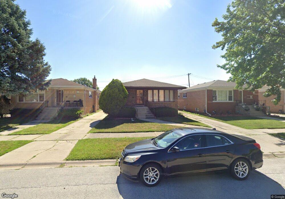
557 Oglesby Ave Calumet City, IL 60409
Estimated Value: $154,000 - $251,000
3
Beds
2
Baths
1,340
Sq Ft
$158/Sq Ft
Est. Value
About This Home
This home is located at 557 Oglesby Ave, Calumet City, IL 60409 and is currently estimated at $212,053, approximately $158 per square foot. 557 Oglesby Ave is a home located in Cook County with nearby schools including Diekman Elementary School, Carol Moseley Braun School, and Creative Communications Academy.
Ownership History
Date
Name
Owned For
Owner Type
Purchase Details
Closed on
Jul 16, 1999
Sold by
Lasalle Bank National Assn
Bought by
Young Kevin L and Pacou Michelle N
Current Estimated Value
Home Financials for this Owner
Home Financials are based on the most recent Mortgage that was taken out on this home.
Original Mortgage
$115,225
Outstanding Balance
$32,607
Interest Rate
7.69%
Mortgage Type
FHA
Estimated Equity
$179,446
Create a Home Valuation Report for This Property
The Home Valuation Report is an in-depth analysis detailing your home's value as well as a comparison with similar homes in the area
Home Values in the Area
Average Home Value in this Area
Purchase History
| Date | Buyer | Sale Price | Title Company |
|---|---|---|---|
| Young Kevin L | $116,000 | 1St American Title |
Source: Public Records
Mortgage History
| Date | Status | Borrower | Loan Amount |
|---|---|---|---|
| Open | Young Kevin L | $115,225 |
Source: Public Records
Tax History Compared to Growth
Tax History
| Year | Tax Paid | Tax Assessment Tax Assessment Total Assessment is a certain percentage of the fair market value that is determined by local assessors to be the total taxable value of land and additions on the property. | Land | Improvement |
|---|---|---|---|---|
| 2024 | $7,921 | $16,000 | $2,772 | $13,228 |
| 2023 | $6,953 | $16,000 | $2,772 | $13,228 |
| 2022 | $6,953 | $12,205 | $2,394 | $9,811 |
| 2021 | $6,616 | $12,204 | $2,394 | $9,810 |
| 2020 | $6,187 | $12,204 | $2,394 | $9,810 |
| 2019 | $4,496 | $9,520 | $2,016 | $7,504 |
| 2018 | $4,473 | $9,520 | $2,016 | $7,504 |
| 2017 | $4,798 | $10,184 | $2,016 | $8,168 |
| 2016 | $3,528 | $7,786 | $1,890 | $5,896 |
| 2015 | $4,804 | $9,996 | $1,890 | $8,106 |
| 2014 | $4,710 | $9,996 | $1,890 | $8,106 |
| 2013 | $4,990 | $11,032 | $1,890 | $9,142 |
Source: Public Records
Map
Nearby Homes
- 518 Crandon Ave
- 1758 Memorial Dr
- 519 Paxton Ave
- 452 Yates Ave
- 508 Hoxie Ave
- 513 Merrill Ave
- 627 Paxton Ave
- 605 Hoxie Ave
- 615 Hoxie Ave
- 602 Merrill Ave
- 453 Hoxie Ave
- 428 Paxton Ave
- 451 Clyde Ave
- 381 Yates Ave
- 1918 Stonegate Dr
- 1863 Michigan City Rd Unit 1W
- 372 Bensley Ave
- 427 Clyde Ave
- 605 Saginaw Ave
- 383 Calhoun Ave
- 551 Oglesby Ave
- 561 Oglesby Ave
- 565 Oglesby Ave
- 547 Oglesby Ave
- 567 Oglesby Ave
- 543 Oglesby Ave
- 556 Yates Ave
- 560 Yates Ave
- 550 Yates Ave
- 539 Oglesby Ave
- 564 Yates Ave
- 546 Yates Ave
- 542 Yates Ave
- 566 Yates Ave
- 535 Oglesby Ave
- 538 Yates Ave
- 1612 Memorial Dr
- 1608 Memorial Dr
- 531 Oglesby Ave
- 534 Yates Ave