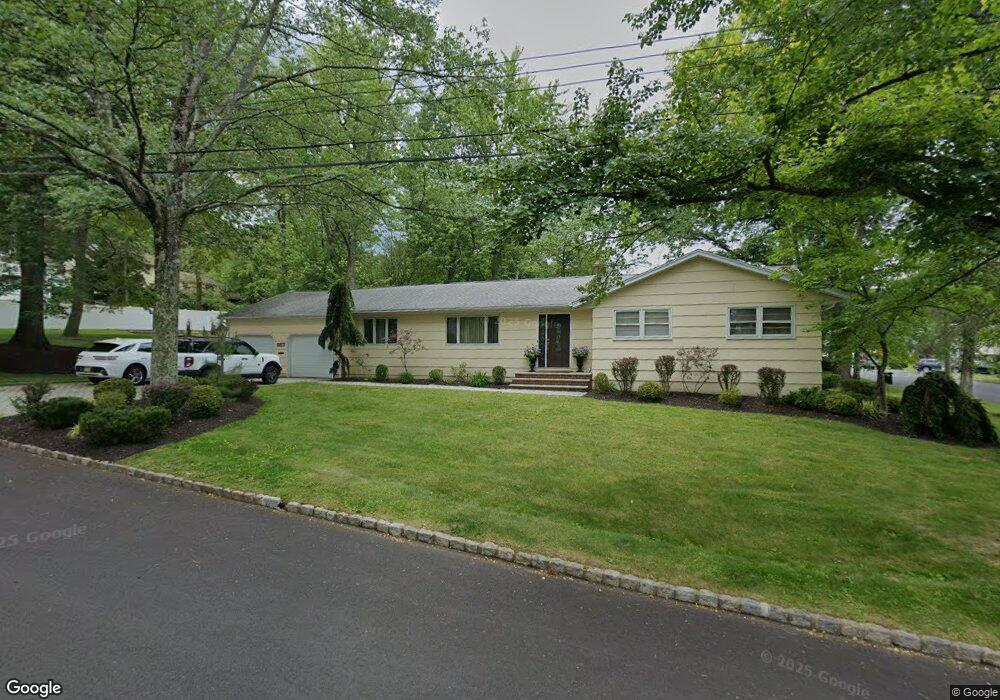
557 Pheasant Hill Rd Mountainside, NJ 07092
Estimated Value: $755,590 - $950,000
--
Bed
--
Bath
1,488
Sq Ft
$553/Sq Ft
Est. Value
About This Home
This home is located at 557 Pheasant Hill Rd, Mountainside, NJ 07092 and is currently estimated at $823,148, approximately $553 per square foot. 557 Pheasant Hill Rd is a home located in Union County with nearby schools including Beechwood School, Deerfield Elementary School, and Oak Knoll School of the Holy Child.
Ownership History
Date
Name
Owned For
Owner Type
Purchase Details
Closed on
Sep 26, 2003
Sold by
Paul Latora
Bought by
Paul Latora and Latora Marisa
Current Estimated Value
Purchase Details
Closed on
Aug 31, 1994
Sold by
Quinton Seymour and Quinton Noelene F
Bought by
Latora Paul and Bufalo Marisa
Create a Home Valuation Report for This Property
The Home Valuation Report is an in-depth analysis detailing your home's value as well as a comparison with similar homes in the area
Home Values in the Area
Average Home Value in this Area
Purchase History
| Date | Buyer | Sale Price | Title Company |
|---|---|---|---|
| Paul Latora | -- | -- | |
| Latora Paul | $277,000 | -- |
Source: Public Records
Tax History Compared to Growth
Tax History
| Year | Tax Paid | Tax Assessment Tax Assessment Total Assessment is a certain percentage of the fair market value that is determined by local assessors to be the total taxable value of land and additions on the property. | Land | Improvement |
|---|---|---|---|---|
| 2025 | $10,537 | $514,000 | $314,600 | $199,400 |
| 2024 | $10,200 | $514,000 | $314,600 | $199,400 |
| 2023 | $10,200 | $513,100 | $314,600 | $198,500 |
| 2022 | $10,247 | $513,100 | $314,600 | $198,500 |
| 2021 | $10,077 | $513,100 | $314,600 | $198,500 |
| 2020 | $10,217 | $136,700 | $62,700 | $74,000 |
| 2019 | $10,270 | $136,700 | $62,700 | $74,000 |
| 2018 | $10,291 | $136,700 | $62,700 | $74,000 |
| 2017 | $10,216 | $136,700 | $62,700 | $74,000 |
| 2016 | $9,983 | $136,700 | $62,700 | $74,000 |
| 2015 | $9,793 | $136,700 | $62,700 | $74,000 |
| 2014 | $9,208 | $136,700 | $62,700 | $74,000 |
Source: Public Records
Map
Nearby Homes
- 64 Highlands Ave
- 1098 Sunny Slope Dr
- 427 Summit Rd
- 423 Summit Rd
- 10 Rowan Rd
- 84 Ashwood Ave
- 102 Irwin St
- 149 Ashland Rd
- 333 Old Tote Rd
- 367 Greenbrier Ct
- 10 Henry St
- 23 William St
- 874 Mountain Ave
- 67 Tulip St
- 6 Joanna Way
- 473 Bayberry Ln
- 16 Beauvoir Ave
- 1256 Poplar Ave
- 40 Prospect St
- 359 Dogwood Way
- 1103 Saddlebrook Rd
- 1100 Sylvan Ln
- 558 Pheasant Hill Rd
- 1107 Saddlebrook Rd
- 1104 Sylvan Ln
- 554 Pheasant Hill Rd
- 1100 Saddlebrook Rd
- 1104 Saddlebrook Rd
- 1096 Saddlebrook Rd
- 1108 Sylvan Ln
- 1092 Sylvan Ln
- 1108 Saddlebrook Rd
- 1092 Saddlebrook Rd
- 1111 Saddlebrook Rd
- 1087 Saddlebrook Rd
- 1112 Sylvan Ln
- 1088 Sylvan Ln
- 1112 Saddlebrook Rd
- 1101 Sylvan Ln
- 1088 Saddlebrook Rd