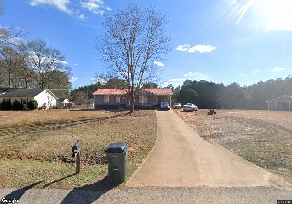
557 Phillips Dr Monroe, GA 30656
Estimated Value: $270,000 - $295,000
Studio
--
Bath
1,328
Sq Ft
$213/Sq Ft
Est. Value
About This Home
This home is located at 557 Phillips Dr, Monroe, GA 30656 and is currently estimated at $283,003, approximately $213 per square foot. 557 Phillips Dr is a home located in Walton County with nearby schools including Walker Park Elementary School, Carver Middle School, and Monroe Area High School.
Ownership History
Date
Name
Owned For
Owner Type
Purchase Details
Closed on
Nov 21, 2024
Sold by
Mcclellan Carol B
Bought by
Mcclellan Amanda and Mcclellan Thomas
Current Estimated Value
Home Financials for this Owner
Home Financials are based on the most recent Mortgage that was taken out on this home.
Original Mortgage
$242,500
Outstanding Balance
$239,578
Interest Rate
6.54%
Mortgage Type
New Conventional
Estimated Equity
$43,425
Purchase Details
Closed on
Feb 16, 1988
Bought by
Mcclellan Robert C
Create a Home Valuation Report for This Property
The Home Valuation Report is an in-depth analysis detailing your home's value as well as a comparison with similar homes in the area
Home Values in the Area
Average Home Value in this Area
Purchase History
| Date | Buyer | Sale Price | Title Company |
|---|---|---|---|
| Mcclellan Amanda | $250,000 | -- | |
| Mcclellan Robert C | $6,000 | -- |
Source: Public Records
Mortgage History
| Date | Status | Borrower | Loan Amount |
|---|---|---|---|
| Open | Mcclellan Amanda | $242,500 |
Source: Public Records
Tax History
| Year | Tax Paid | Tax Assessment Tax Assessment Total Assessment is a certain percentage of the fair market value that is determined by local assessors to be the total taxable value of land and additions on the property. | Land | Improvement |
|---|---|---|---|---|
| 2025 | $2,383 | $87,560 | $19,600 | $67,960 |
| 2024 | $2,383 | $80,840 | $18,800 | $62,040 |
| 2023 | $2,413 | $79,560 | $18,800 | $60,760 |
| 2022 | $2,213 | $70,000 | $14,800 | $55,200 |
| 2021 | $1,705 | $52,320 | $10,000 | $42,320 |
| 2020 | $1,606 | $48,080 | $8,000 | $40,080 |
| 2019 | $1,441 | $40,160 | $8,000 | $32,160 |
| 2018 | $1,343 | $40,160 | $8,000 | $32,160 |
| 2017 | $1,276 | $37,040 | $8,000 | $29,040 |
| 2016 | $956 | $28,160 | $6,000 | $22,160 |
| 2015 | $812 | $23,520 | $6,000 | $17,520 |
| 2014 | $708 | $20,000 | $0 | $0 |
Source: Public Records
Map
Nearby Homes
- 0 Phillips Dr Unit 7719282
- 480 John Deere Rd NW
- 809 Parker Ct NW
- 2069 Highway 11 NW
- 0 Highway 11 NW Unit 10683376
- 0 Highway 11 NW Unit 7713308
- 0 Highway 11 NW Unit 7701233
- 284 Doster Ave NW
- 1602 Annas Way
- 1409 Hwy 11 N
- 418 Friendship Church Rd SW
- 2103 Sourwood Ct
- 201 Double Springs Church Rd SW Unit CLC/15/E1.827
- 1621 Highland Creek Dr
- 2216 Blackberry Ct
- 918 Creekside Way
- 2320 Double Springs Church Rd
- 401 Double Springs Church Rd Unit CLC/15/W9.540
- 908 Fawnfield Dr
- 2790 Fannie Thompson Rd NW
- 577 Phillips Dr
- 537 Phillips Dr
- 597 Phillips Dr
- 536 Phillips Dr
- 1869 Clifford Ct NW
- 1804 Deer Ct NW
- 1870 Clifford Ct NW
- 596 Phillips Dr
- 617 Phillips Dr
- 1784 Deer Ct NW
- 616 Phillips Dr
- 1890 Clifford Ct NW
- 1803 Deer Ct NW
- 637 Phillips Dr Unit 122
- 637 Phillips Dr
- 1886 Clifford Ct NW
- 457 Phillips Dr NW
- 437 Phillips Dr NW
- 1910 Clifford Ct NW
- 636 Phillips Dr
Your Personal Tour Guide
Ask me questions while you tour the home.