Estimated Value: $474,000 - $538,000
Studio
--
Bath
1,557
Sq Ft
$325/Sq Ft
Est. Value
About This Home
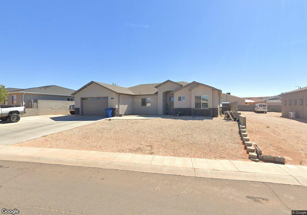
This home is located at 557 Pinto Rd, Page, AZ 86040 and is currently estimated at $506,090, approximately $325 per square foot. 557 Pinto Rd is a home with nearby schools including Desert View Elementary Intermediate School, Lake View Elementary Primary School, and Page Middle School.
Ownership History
Date
Name
Owned For
Owner Type
Purchase Details
Closed on
Oct 5, 2017
Sold by
Sturdy Joseph F
Bought by
Smith Dakota L
Current Estimated Value
Home Financials for this Owner
Home Financials are based on the most recent Mortgage that was taken out on this home.
Original Mortgage
$143,200
Outstanding Balance
$118,454
Interest Rate
3.82%
Mortgage Type
Purchase Money Mortgage
Estimated Equity
$387,636
Purchase Details
Closed on
Nov 4, 2016
Sold by
Dearing Sturdy Joseph Frederick and Dearing Sturdy Pauline
Bought by
Sturdy Joseph F and Sturdy Pauline D
Create a Home Valuation Report for This Property
The Home Valuation Report is an in-depth analysis detailing your home's value as well as a comparison with similar homes in the area
Home Values in the Area
Average Home Value in this Area
Purchase History
| Date | Buyer | Sale Price | Title Company |
|---|---|---|---|
| Smith Dakota L | $35,000 | First American Title | |
| Smith Dakota L | $35,000 | Pioneer Title Agency Inc | |
| Sturdy Joseph F | -- | None Available |
Source: Public Records
Mortgage History
| Date | Status | Borrower | Loan Amount |
|---|---|---|---|
| Open | Smith Dakota L | $143,200 |
Source: Public Records
Tax History
| Year | Tax Paid | Tax Assessment Tax Assessment Total Assessment is a certain percentage of the fair market value that is determined by local assessors to be the total taxable value of land and additions on the property. | Land | Improvement |
|---|---|---|---|---|
| 2025 | $1,912 | $38,381 | -- | -- |
| 2024 | $1,912 | $38,898 | -- | -- |
| 2023 | $2,441 | $36,165 | $0 | $0 |
| 2022 | $1,739 | $30,343 | $0 | $0 |
| 2021 | $1,935 | $27,546 | $0 | $0 |
| 2020 | $1,562 | $16,407 | $0 | $0 |
| 2019 | $1,018 | $16,036 | $0 | $0 |
| 2018 | $284 | $4,136 | $0 | $0 |
| 2017 | $269 | $4,136 | $0 | $0 |
| 2016 | $249 | $4,136 | $0 | $0 |
Source: Public Records
Map
Nearby Homes
- 41 W Jerome St
- 22 Sunset St Unit 22
- 425 Cedar St
- 801 Oak St Unit 133
- 801 Oak St Unit 70
- 801 Oak St Unit 62
- 134 Calle Hermosa
- 57 Aero Ave
- 314 Clubhouse Dr Unit 16
- 1531 Rim View Dr
- 8.35 Acres S Parcel Rainbow Dr
- 112 Schoppman Ln Unit 60
- 451 Ticaboo Canyon Dr Unit 33
- 461 Ticaboo Canyon Dr Unit 34
- 112 Bryce Canyon Dr
- 122 Bryce Canyon Dr
- 132 Bryce Canyon Dr
- 12 Sumner Cove
- 30 Tek Ct
- 130 Tek Ct Unit 95
Your Personal Tour Guide
Ask me questions while you tour the home.