557 Stonecroft Dr Springfield, OH 45502
Estimated Value: $346,000 - $476,000
3
Beds
3
Baths
2,144
Sq Ft
$192/Sq Ft
Est. Value
About This Home
This home is located at 557 Stonecroft Dr, Springfield, OH 45502 and is currently estimated at $412,580, approximately $192 per square foot. 557 Stonecroft Dr is a home located in Clark County with nearby schools including Rolling Hills Elementary School, Northridge Middle School, and Kenton Ridge Middle & High School.
Ownership History
Date
Name
Owned For
Owner Type
Purchase Details
Closed on
Sep 25, 2020
Sold by
Jenkins Timothy J
Bought by
Fisher-Jenkins Linda M
Current Estimated Value
Purchase Details
Closed on
Sep 29, 2005
Sold by
Jenkins Timothy J and Fisher Jenkins Linda
Bought by
Jenkins Timothy J and Fisher Jenkins Linda M
Home Financials for this Owner
Home Financials are based on the most recent Mortgage that was taken out on this home.
Original Mortgage
$225,600
Interest Rate
5.88%
Mortgage Type
Fannie Mae Freddie Mac
Create a Home Valuation Report for This Property
The Home Valuation Report is an in-depth analysis detailing your home's value as well as a comparison with similar homes in the area
Home Values in the Area
Average Home Value in this Area
Purchase History
| Date | Buyer | Sale Price | Title Company |
|---|---|---|---|
| Fisher-Jenkins Linda M | -- | Hines Dean E | |
| Fisher-Jenkins Linda M | -- | None Listed On Document | |
| Jenkins Timothy J | -- | -- | |
| Jenkins Timothy J | $282,000 | -- |
Source: Public Records
Mortgage History
| Date | Status | Borrower | Loan Amount |
|---|---|---|---|
| Previous Owner | Jenkins Timothy J | $225,600 | |
| Previous Owner | Jenkins Timothy J | $42,300 |
Source: Public Records
Tax History Compared to Growth
Tax History
| Year | Tax Paid | Tax Assessment Tax Assessment Total Assessment is a certain percentage of the fair market value that is determined by local assessors to be the total taxable value of land and additions on the property. | Land | Improvement |
|---|---|---|---|---|
| 2024 | $3,968 | $91,750 | $27,120 | $64,630 |
| 2023 | $3,968 | $91,750 | $27,120 | $64,630 |
| 2022 | $3,982 | $91,750 | $27,120 | $64,630 |
| 2021 | $4,941 | $96,450 | $22,600 | $73,850 |
| 2020 | $4,945 | $96,450 | $22,600 | $73,850 |
| 2019 | $5,039 | $96,450 | $22,600 | $73,850 |
| 2018 | $4,346 | $79,800 | $15,500 | $64,300 |
| 2017 | $3,740 | $80,409 | $15,498 | $64,911 |
| 2016 | $3,715 | $80,409 | $15,498 | $64,911 |
| 2015 | $3,657 | $79,261 | $14,350 | $64,911 |
| 2014 | $3,656 | $79,261 | $14,350 | $64,911 |
| 2013 | $3,573 | $79,261 | $14,350 | $64,911 |
Source: Public Records
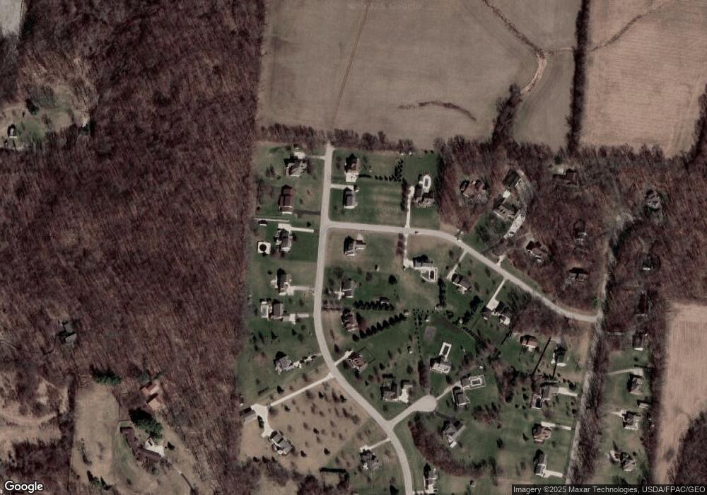
Map
Nearby Homes
- 880 Brendle Trace Unit 28
- 916 Sawmill Ct
- 4514 Dowden St
- 593 Hiser Ave
- 794 Donnelly Ave
- 4712 Cullen Ave
- 5249 Taywell Dr
- 970 Forest Edge Ave
- 5127 Stoneridge Dr
- 4622 W Ridgewood Rd
- 5220 Ridgewood Rd E
- 1709 Thomas Dr
- Pendleton Plan at Liberty Place
- Holcombe Plan at Liberty Place
- Newcastle Plan at Liberty Place
- Chatham Plan at Liberty Place
- 4740 Merrimont Ave
- 1470 Oldham Dr Unit 12
- 1461 Student Ave
- 4512 Ridgewood Rd E
- 5252 Hearthstone Dr
- 5328 Hearthstone Dr
- 615 Stonecroft Dr
- 5200 Hearthstone Dr
- 5291 Hearthstone Dr
- 5362 Hearthstone Dr
- 612 Stonecroft Dr
- 5253 Hearthstone Dr
- 5329 Hearthstone Dr
- 671 Stonecroft Dr
- 5130 Hearthstone Dr
- 5215 Hearthstone Dr
- 5363 Hearthstone Dr
- 640 Stonecroft Dr
- 704 Moorefield Ct
- 728 Moorefield Ct
- 696 Stonecroft Dr
- 711 Stonecroft Dr
- 5165 Hearthstone Dr
- 721 Moorefield Ct