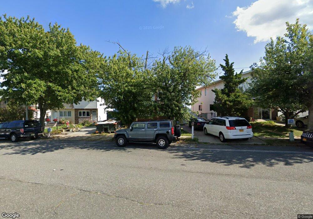
557 Tennyson Dr Staten Island, NY 10312
Eltingville NeighborhoodEstimated Value: $708,000 - $817,000
3
Beds
3
Baths
1,532
Sq Ft
$490/Sq Ft
Est. Value
About This Home
This home is located at 557 Tennyson Dr, Staten Island, NY 10312 and is currently estimated at $750,322, approximately $489 per square foot. 557 Tennyson Dr is a home located in Richmond County with nearby schools including P.S. 55 The Henry M. Boehm School, I.S. 007 Elias Bernstein, and Tottenville High School.
Ownership History
Date
Name
Owned For
Owner Type
Purchase Details
Closed on
Aug 18, 2022
Sold by
Nanos Andrew M and Angri Maria
Bought by
Nanos Family Living Trust
Current Estimated Value
Purchase Details
Closed on
Jul 19, 2000
Sold by
Nanos Andrew M
Bought by
Nanos Andrew M and Nanos Maria Angri
Purchase Details
Closed on
Mar 2, 1995
Sold by
Parvatharaj Hassan M and Parvatharaj Hemantha K
Bought by
Nanos Andrew M
Create a Home Valuation Report for This Property
The Home Valuation Report is an in-depth analysis detailing your home's value as well as a comparison with similar homes in the area
Home Values in the Area
Average Home Value in this Area
Purchase History
| Date | Buyer | Sale Price | Title Company |
|---|---|---|---|
| Nanos Family Living Trust | -- | None Listed On Document | |
| Nanos Andrew M | -- | First American Title Ins Co | |
| Nanos Andrew M | $160,000 | -- |
Source: Public Records
Tax History Compared to Growth
Tax History
| Year | Tax Paid | Tax Assessment Tax Assessment Total Assessment is a certain percentage of the fair market value that is determined by local assessors to be the total taxable value of land and additions on the property. | Land | Improvement |
|---|---|---|---|---|
| 2025 | $6,808 | $42,300 | $7,243 | $35,057 |
| 2024 | $6,808 | $35,580 | $8,574 | $27,006 |
| 2023 | $6,494 | $31,978 | $6,942 | $25,036 |
| 2022 | $6,022 | $34,500 | $9,000 | $25,500 |
| 2021 | $6,025 | $32,820 | $9,000 | $23,820 |
| 2020 | $5,709 | $32,580 | $9,000 | $23,580 |
| 2019 | $5,616 | $31,200 | $9,000 | $22,200 |
| 2018 | $5,135 | $26,648 | $7,643 | $19,005 |
| 2017 | $4,825 | $25,140 | $9,000 | $16,140 |
| 2016 | $4,699 | $25,058 | $8,865 | $16,193 |
| 2015 | $4,232 | $23,640 | $7,920 | $15,720 |
| 2014 | $4,232 | $23,640 | $7,920 | $15,720 |
Source: Public Records
Map
Nearby Homes
- 533 Tennyson Dr
- 439 Retford Ave
- 4396 Hylan Blvd
- 40 Wakefield Rd
- 16 Ridgecrest Ave
- 4325 Hylan Blvd
- 4262 Richmond Ave
- 415 King St
- 488 King St
- 144 Winchester Ave
- 467 King St
- 139 Winchester Ave
- 69 Littlefield Ave
- 324 Retford Ave
- 125 Ridgecrest Ave
- 79 Robinson Ave
- 127 Ridgecrest Ave
- 27 Mayberry Promenade
- 97 Kinghorn St
- 15 Lenzie St
- 555 Tennyson Dr
- 561 Tennyson Dr
- 551 Tennyson Dr
- 565 Tennyson Dr
- 549 Tennyson Dr
- 545 Tennyson Dr
- 569 Tennyson Dr
- 543 Tennyson Dr
- 495 Retford Ave
- 539 Tennyson Dr
- 66 Prol Place
- 575 Tennyson Dr
- 493 Retford Ave
- 537 Tennyson Dr
- 64 Prol Place
- 489 Retford Ave
- 60 Prol Place
- 58 Prol Place
- 487 Retford Ave
- 488 Retford Ave