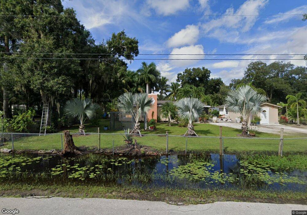
5570 Carter Rd Fort Myers, FL 33905
Estimated Value: $292,804 - $407,000
3
Beds
2
Baths
1,128
Sq Ft
$316/Sq Ft
Est. Value
About This Home
This home is located at 5570 Carter Rd, Fort Myers, FL 33905 and is currently estimated at $356,201, approximately $315 per square foot. 5570 Carter Rd is a home located in Lee County with nearby schools including Tice Elementary School, Orange River Elementary School, and Edgewood Academy.
Ownership History
Date
Name
Owned For
Owner Type
Purchase Details
Closed on
Feb 24, 2006
Sold by
Henley Margie H
Bought by
Perez Ramiro and Perez Gilberto
Current Estimated Value
Home Financials for this Owner
Home Financials are based on the most recent Mortgage that was taken out on this home.
Original Mortgage
$108,000
Outstanding Balance
$60,367
Interest Rate
6.08%
Mortgage Type
Fannie Mae Freddie Mac
Estimated Equity
$295,834
Create a Home Valuation Report for This Property
The Home Valuation Report is an in-depth analysis detailing your home's value as well as a comparison with similar homes in the area
Home Values in the Area
Average Home Value in this Area
Purchase History
| Date | Buyer | Sale Price | Title Company |
|---|---|---|---|
| Perez Ramiro | $200,000 | None Available |
Source: Public Records
Mortgage History
| Date | Status | Borrower | Loan Amount |
|---|---|---|---|
| Open | Perez Ramiro | $108,000 |
Source: Public Records
Tax History Compared to Growth
Tax History
| Year | Tax Paid | Tax Assessment Tax Assessment Total Assessment is a certain percentage of the fair market value that is determined by local assessors to be the total taxable value of land and additions on the property. | Land | Improvement |
|---|---|---|---|---|
| 2025 | $775 | $78,756 | -- | -- |
| 2024 | $738 | $76,536 | -- | -- |
| 2023 | $738 | $74,307 | $0 | $0 |
| 2022 | $978 | $72,143 | $0 | $0 |
| 2021 | $923 | $124,779 | $54,554 | $70,225 |
| 2020 | $905 | $69,075 | $0 | $0 |
| 2019 | $890 | $67,522 | $0 | $0 |
| 2018 | $889 | $66,263 | $0 | $0 |
| 2017 | $885 | $64,900 | $0 | $0 |
| 2016 | $860 | $101,218 | $47,743 | $53,475 |
| 2015 | $830 | $81,901 | $28,180 | $53,721 |
| 2014 | -- | $77,695 | $28,066 | $49,629 |
| 2013 | -- | $61,697 | $19,178 | $42,519 |
Source: Public Records
Map
Nearby Homes
- 10651 Marie St
- 5660 Laguna Caribe Cir
- 5602 Laguna Caribe Cir
- 5471 Laguna Caribe Cir
- 10405 Nightwood Dr
- 5570 Laguna Caribe Cir
- 5515 Laguna Caribe Cir Unit 44
- 5515 Laguna Caribe Cir
- 10327 Prairie Iris Dr
- 10339 Prairie Iris Dr
- 10342 Prairie Iris Dr
- 10307 Prairie Iris Dr
- 5531 Laguna Caribe Cir
- 10316 Fire Flag Dr
- 10309 Fire Flag Dr
- 10336 Fire Flag Dr
- 10317 Fire Flag Dr
- 10331 Fire Flag Dr
- 10321 Nightwood Dr Unit C109
- 5514 Laguna Caribe Cir Unit 108
- 5550 Carter Rd
- 5571 Carter Rd
- 5551 Carter Rd
- 5521 Carter Rd
- 5670 Carter Rd
- 10830 Sandin Rd
- 10760 Martha St
- 5631 Carter Rd
- 10850 Sandin Rd
- 5671 Carter Rd
- 5700 Carter Rd
- 5460 Carter Rd
- 10870 Sandin Rd
- 10690 Martha St
- 5481 Wes Mar Rd
- 10890 Sandin Rd
- 10741 Martha St
- 10670 Martha St
- 5701 Carter Rd
- 10910 Sandin Rd