5570 Hay Meadow Dr Shepherd, MT 59079
Estimated Value: $403,000 - $425,000
3
Beds
2
Baths
1,520
Sq Ft
$273/Sq Ft
Est. Value
About This Home
This home is located at 5570 Hay Meadow Dr, Shepherd, MT 59079 and is currently estimated at $415,528, approximately $273 per square foot. 5570 Hay Meadow Dr is a home located in Yellowstone County with nearby schools including Shepherd Elementary School, Shepherd Middle School, and Shepherd High School.
Ownership History
Date
Name
Owned For
Owner Type
Purchase Details
Closed on
Mar 21, 2007
Sold by
Cook Dennis L and Cook Nancy M
Bought by
Beddes Michael S and Beddes Heather D
Current Estimated Value
Home Financials for this Owner
Home Financials are based on the most recent Mortgage that was taken out on this home.
Original Mortgage
$150,001
Outstanding Balance
$91,042
Interest Rate
6.31%
Mortgage Type
Unknown
Estimated Equity
$324,486
Create a Home Valuation Report for This Property
The Home Valuation Report is an in-depth analysis detailing your home's value as well as a comparison with similar homes in the area
Purchase History
| Date | Buyer | Sale Price | Title Company |
|---|---|---|---|
| Beddes Michael S | -- | Stewart Title Of Billings |
Source: Public Records
Mortgage History
| Date | Status | Borrower | Loan Amount |
|---|---|---|---|
| Open | Beddes Michael S | $150,001 |
Source: Public Records
Tax History
| Year | Tax Paid | Tax Assessment Tax Assessment Total Assessment is a certain percentage of the fair market value that is determined by local assessors to be the total taxable value of land and additions on the property. | Land | Improvement |
|---|---|---|---|---|
| 2025 | $3,166 | $407,200 | $65,567 | $341,633 |
| 2024 | $3,166 | $354,700 | $53,412 | $301,288 |
| 2023 | $3,219 | $354,700 | $53,412 | $301,288 |
| 2022 | $2,580 | $274,400 | $0 | $0 |
| 2021 | $2,802 | $274,400 | $0 | $0 |
| 2020 | $2,589 | $243,600 | $0 | $0 |
| 2019 | $2,216 | $243,600 | $0 | $0 |
| 2018 | $2,220 | $229,500 | $0 | $0 |
| 2017 | $2,162 | $229,500 | $0 | $0 |
| 2016 | $2,197 | $244,000 | $0 | $0 |
| 2015 | $2,186 | $244,000 | $0 | $0 |
| 2014 | $1,962 | $116,494 | $0 | $0 |
Source: Public Records
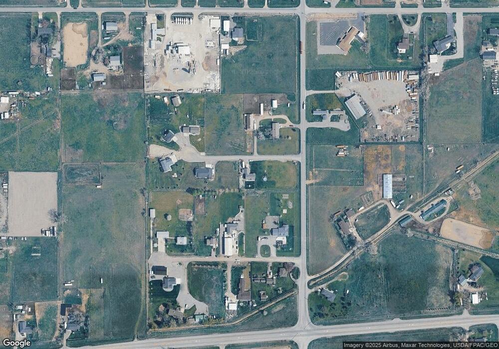
Map
Nearby Homes
- 0 SHepherd Road lot Shepherd Rd
- 0 Shepherd Road Lot Shepherd Rd
- 6447 US Highway 312
- 5430 Cerkoney Ln
- 4142 McGirl Rd
- 0000 Florian Ave
- 6610 S 12th St
- 1266 Chipper Ln
- L13B2 High Noon Dr
- L11B3 High Noon Dr
- L11B2 Rio Lobo Cir
- L5B4 Trumbo Cir
- L3B4 Trumbo Cir
- L12B3 Molly Dr
- L12B2 High Noon Dr
- L10B3 High Noon Dr
- 1251 Chipper Ln
- L2B4 True Grit St
- 1246 Chipper Ln
- L4B4 Trumbo Cir
- 5530 Hay Meadow Dr
- 5535 Lester Ln
- 5527 Lester Ln
- 5525 Hay Meadow Dr
- 5480 Hay Meadow Dr
- 5485 Hay Meadow Dr
- 5505 Lester Ln
- 5505 Lester Ln
- 5909 Shepherd Rd
- 0 Lester Ln
- 5740 Shepherd Rd
- 5825 Shepherd Rd E
- 5544 Lester Ln
- BLK1 LOT3 Eric Place
- BLK1 LOT5 Eric Place
- 5522 Eric Place
- 5731 Shepherd Rd
- 5520 Eric Place
- 5416 Chicago Rd
- 5444 Chicago Rd
Your Personal Tour Guide
Ask me questions while you tour the home.