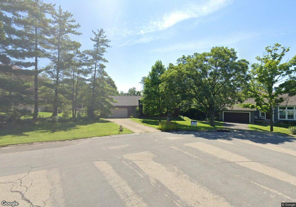
5571 Eagle Ln West Chester, OH 45069
West Chester Township NeighborhoodEstimated Value: $366,000 - $410,000
3
Beds
3
Baths
2,316
Sq Ft
$167/Sq Ft
Est. Value
About This Home
This home is located at 5571 Eagle Ln, West Chester, OH 45069 and is currently estimated at $387,433, approximately $167 per square foot. 5571 Eagle Ln is a home located in Butler County with nearby schools including Freedom Elementary School, Lakota Ridge Junior School, and Lakota West High School.
Ownership History
Date
Name
Owned For
Owner Type
Purchase Details
Closed on
Apr 30, 2004
Sold by
Farrin Marc D and Farrin Leah M
Bought by
Dusch Robert L and Topping Karlen E
Current Estimated Value
Home Financials for this Owner
Home Financials are based on the most recent Mortgage that was taken out on this home.
Original Mortgage
$182,200
Outstanding Balance
$87,524
Interest Rate
5.85%
Mortgage Type
Purchase Money Mortgage
Estimated Equity
$299,909
Purchase Details
Closed on
Apr 10, 2000
Sold by
Kent Thomas D
Bought by
Farrin Marc D and Farrin Leah M
Home Financials for this Owner
Home Financials are based on the most recent Mortgage that was taken out on this home.
Original Mortgage
$136,500
Interest Rate
8.56%
Mortgage Type
Purchase Money Mortgage
Purchase Details
Closed on
Apr 1, 1989
Create a Home Valuation Report for This Property
The Home Valuation Report is an in-depth analysis detailing your home's value as well as a comparison with similar homes in the area
Home Values in the Area
Average Home Value in this Area
Purchase History
| Date | Buyer | Sale Price | Title Company |
|---|---|---|---|
| Dusch Robert L | $187,900 | -- | |
| Farrin Marc D | $158,000 | -- | |
| -- | $123,000 | -- |
Source: Public Records
Mortgage History
| Date | Status | Borrower | Loan Amount |
|---|---|---|---|
| Open | Dusch Robert L | $182,200 | |
| Previous Owner | Farrin Marc D | $136,500 |
Source: Public Records
Tax History Compared to Growth
Tax History
| Year | Tax Paid | Tax Assessment Tax Assessment Total Assessment is a certain percentage of the fair market value that is determined by local assessors to be the total taxable value of land and additions on the property. | Land | Improvement |
|---|---|---|---|---|
| 2024 | $4,465 | $108,130 | $12,680 | $95,450 |
| 2023 | $4,433 | $116,570 | $12,680 | $103,890 |
| 2022 | $4,215 | $75,440 | $12,680 | $62,760 |
| 2021 | $3,824 | $72,450 | $12,680 | $59,770 |
| 2020 | $3,914 | $72,450 | $12,680 | $59,770 |
| 2019 | $5,952 | $62,110 | $13,240 | $48,870 |
| 2018 | $3,520 | $62,110 | $13,240 | $48,870 |
| 2017 | $3,476 | $60,250 | $13,240 | $47,010 |
| 2016 | $3,353 | $54,720 | $13,240 | $41,480 |
| 2015 | $3,345 | $54,720 | $13,240 | $41,480 |
| 2014 | $3,509 | $54,720 | $13,240 | $41,480 |
| 2013 | $3,509 | $55,750 | $13,240 | $42,510 |
Source: Public Records
Map
Nearby Homes
- 7213 Quail Run Dr
- 5577 Dove Ln
- 7281 Cinnamon Woods Dr
- 5663 E Senour Dr
- 5677 E Senour Dr
- 5716 E Senour Dr
- 5241 Hamilton Mason Rd
- 7690 Wharton Ct
- 7712 Whitehall Cir E
- 7392 Wheatland Meadow Ct
- 7644 Eleventh Hour Ln
- 0 Walnut Creek Dr Unit 1850153
- 5671 Tylersville Rd
- 5981 Birkdale Dr
- 5856 Ferdinand Dr
- 7229 W Hartford Ct
- 5146 Mountview Ct
- 6993 Clawson Ridge Ct
- 5168 Grandin Ridge Dr
- 7628 Lesourdsville West Chester Rd
- 5561 Eagle Ln
- 5581 Eagle Ln
- 5591 Eagle Ln
- 5551 Eagle Ln
- 7317 Mallard Dr
- 7331 Mallard Dr
- 7307 Mallard Dr
- 7347 Mallard Dr
- 7363 Mallard Dr
- 5584 Eagle Ln
- 5601 Eagle Ln
- 5541 Eagle Ln
- 7297 Mallard Dr
- 7379 Mallard Dr
- 7393 Mallard Dr
- 5594 Eagle Ln
- 7456 Quail Run Dr
- 7285 Mallard Dr
- 5531 Eagle Ln
- 5528 Eagle Ln