Estimated Value: $222,760 - $316,000
4
Beds
1
Bath
1,675
Sq Ft
$152/Sq Ft
Est. Value
About This Home
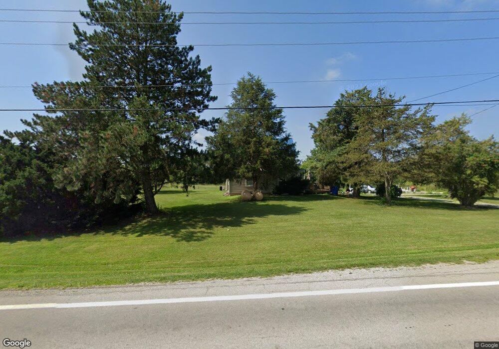
This home is located at 5572 State Route 15, Ney, OH 43549 and is currently estimated at $254,190, approximately $151 per square foot. 5572 State Route 15 is a home located in Defiance County with nearby schools including Fairview Elementary School, Fairview Middle School, and Fairview High School.
Ownership History
Date
Name
Owned For
Owner Type
Purchase Details
Closed on
Jan 20, 2005
Sold by
Beattie Pauline M
Bought by
Beattie Clifford G
Current Estimated Value
Purchase Details
Closed on
Jul 14, 2000
Bought by
Beattie Clifford G
Purchase Details
Closed on
Nov 12, 1997
Bought by
Beattie Clifford G
Create a Home Valuation Report for This Property
The Home Valuation Report is an in-depth analysis detailing your home's value as well as a comparison with similar homes in the area
Purchase History
| Date | Buyer | Sale Price | Title Company |
|---|---|---|---|
| Beattie Clifford G | -- | None Available | |
| Beattie Clifford G | $67,000 | -- | |
| Beattie Clifford G | $55,000 | -- |
Source: Public Records
Tax History
| Year | Tax Paid | Tax Assessment Tax Assessment Total Assessment is a certain percentage of the fair market value that is determined by local assessors to be the total taxable value of land and additions on the property. | Land | Improvement |
|---|---|---|---|---|
| 2024 | $1,454 | $41,830 | $9,030 | $32,800 |
| 2023 | $1,440 | $41,830 | $9,030 | $32,800 |
| 2022 | $1,400 | $35,510 | $8,020 | $27,490 |
| 2021 | $1,400 | $35,510 | $8,020 | $27,490 |
| 2020 | $1,254 | $32,910 | $8,020 | $24,890 |
| 2019 | $1,080 | $28,440 | $7,730 | $20,710 |
| 2018 | $1,068 | $28,440 | $7,730 | $20,710 |
| 2017 | $960 | $28,444 | $7,731 | $20,713 |
| 2016 | $893 | $23,807 | $7,066 | $16,741 |
| 2015 | $486 | $23,807 | $7,066 | $16,741 |
| 2014 | $486 | $24,346 | $7,066 | $17,280 |
| 2013 | $486 | $24,346 | $7,066 | $17,280 |
| 2012 | $486 | $24,347 | $7,067 | $17,280 |
Source: Public Records
Map
Nearby Homes
- 4515 Glenburg Rd
- 4463 Glenburg Rd
- 1105 E Main St
- 00 Ohio 249
- 0 Ohio 249
- 4913 Evansport Rd
- 20975 Buckskin Rd
- 18390 Williams Defiance County Line Rd
- 8820 Ohio 15
- 22681 Gares Rd
- 0 State Route 18 Unit 6123115
- 0 State Route 18 Unit 6123113
- 720 Bergman Dr
- 0 Elmwood Dr
- 8239 Openlander Rd
- 6909 Ohio 66
- 0 Saint Rt 66
- 115 Wilmot St
- 14779 Sausman Rd
- 0 Rose St Unit Lot L 6004739
- 5506 State Route 15
- 5632 State Route 15
- 5632 Ohio 15
- 00 U S State Route 15
- 001 U S State Route 15
- 5724 Flickinger Rd
- 5696 State Route 15
- 5696 Ohio 15
- 5816 Flickinger Rd
- 5857 Flickinger Rd
- 5927 Flickinger Rd
- 5763 State Route 15
- 5314 State Route 15
- 5793 State Route 15
- 00 Flickinger Rd
- 18103 Blosser Rd
- 6040 Flickinger Rd
- 6087 Flickinger Rd
- 5852 State Route 15
- 5244 State Route 15
Your Personal Tour Guide
Ask me questions while you tour the home.