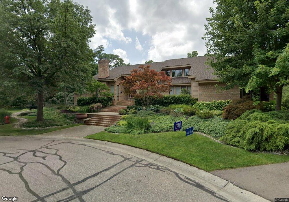
5573 Hartford Ct Unit 6 Bloomfield Hills, MI 48301
Estimated Value: $811,000 - $1,096,324
4
Beds
5
Baths
4,125
Sq Ft
$242/Sq Ft
Est. Value
About This Home
This home is located at 5573 Hartford Ct Unit 6, Bloomfield Hills, MI 48301 and is currently estimated at $997,108, approximately $241 per square foot. 5573 Hartford Ct Unit 6 is a home located in Oakland County with nearby schools including Conant Elementary School, South Hills Middle School, and Bloomfield Hills High School.
Ownership History
Date
Name
Owned For
Owner Type
Purchase Details
Closed on
Jan 4, 2008
Sold by
Fenkell Robert B and Fenkell Ellen N
Bought by
Cohen Lawrence D and Cohen Janice P
Current Estimated Value
Purchase Details
Closed on
Jan 29, 2004
Sold by
Katzman Robert M and Katzman Lisa
Bought by
Fenkell Robert B and Fenkell Ellen N
Create a Home Valuation Report for This Property
The Home Valuation Report is an in-depth analysis detailing your home's value as well as a comparison with similar homes in the area
Home Values in the Area
Average Home Value in this Area
Purchase History
| Date | Buyer | Sale Price | Title Company |
|---|---|---|---|
| Cohen Lawrence D | $822,500 | Capital Title Ins Agency | |
| Fenkell Robert B | -- | Metropolitan Title Company |
Source: Public Records
Tax History Compared to Growth
Tax History
| Year | Tax Paid | Tax Assessment Tax Assessment Total Assessment is a certain percentage of the fair market value that is determined by local assessors to be the total taxable value of land and additions on the property. | Land | Improvement |
|---|---|---|---|---|
| 2024 | $8,464 | $577,880 | $0 | $0 |
| 2023 | $8,191 | $522,960 | $0 | $0 |
| 2022 | $15,366 | $464,210 | $0 | $0 |
| 2021 | $15,255 | $442,000 | $0 | $0 |
| 2020 | $7,478 | $424,100 | $0 | $0 |
| 2019 | $14,354 | $406,150 | $0 | $0 |
| 2018 | $14,420 | $464,810 | $0 | $0 |
| 2017 | $14,317 | $452,160 | $0 | $0 |
| 2016 | $14,343 | $479,840 | $0 | $0 |
| 2015 | -- | $426,600 | $0 | $0 |
| 2014 | -- | $422,160 | $0 | $0 |
| 2011 | -- | $330,270 | $0 | $0 |
Source: Public Records
Map
Nearby Homes
- 5904 Wing Lake Rd
- 5361 Echo Rd
- 5630 S Adams Way
- 5340 Franklin Rd
- 5100 Kings Gate Way
- 00 Telegraph Rd
- 0 Telegraph Rd
- 5129 Woodlands Ln
- 5137 Woodlands Dr Unit 24
- 5008 Kings Gate Way
- 4597 Broughton Dr
- 5190 Clarendon Crest St
- 5148 Crest Knolls Ct
- 5611 Priory Ln
- 750 Trailwood Path Unit B
- 450 Billingsgate Ct Unit C
- 1760 Trailwood Path
- 4603 Hedgewood Dr
- 1462 Sodon Ct
- 5080 Tootmoor Rd
- 5574 Hartford Ct
- 5543 Hartford Ct
- 5601 Wing Lake Rd
- 4255 Quarton Rd
- 5544 Hartford Ct
- 5640 Kolly Rd
- 5601 Kolly Rd
- 5585 Wing Lake Rd
- 5615 Wing Lake Rd
- 5513 Hartford Ct
- 5510 Westwood Ln
- 5671 Westwood Ct
- 5681 Westwood Ct
- 5571 Wing Lake Rd
- 5512 Hartford Ct
- 5617 Kolly Rd
- 5660 Kolly Rd
- 5635 Wing Lake Rd
- 4265 Quarton Rd
- 5516 Westwood Ln