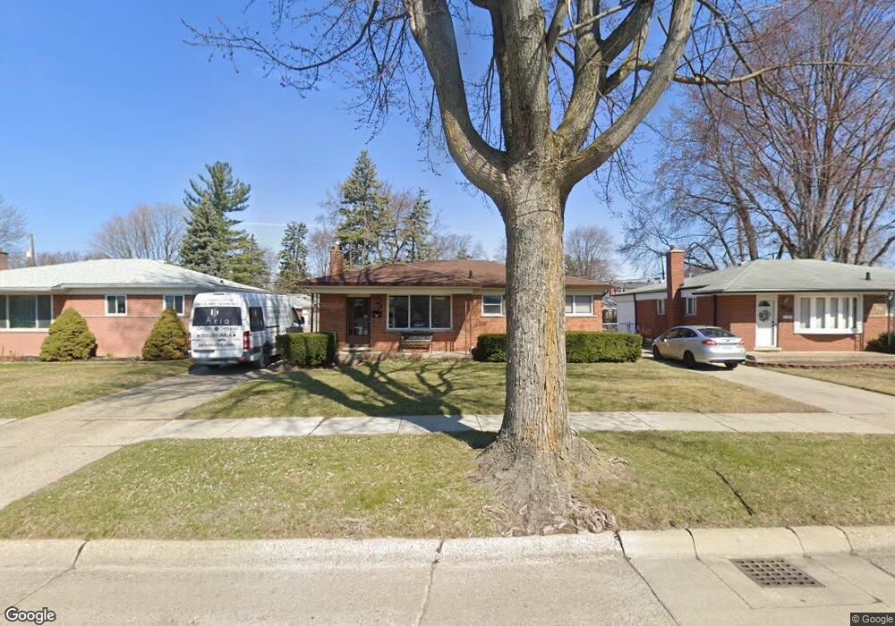
5573 Lowe Ave Warren, MI 48092
Northwest Warren NeighborhoodEstimated Value: $217,359 - $257,000
Studio
2
Baths
1,091
Sq Ft
$225/Sq Ft
Est. Value
About This Home
This home is located at 5573 Lowe Ave, Warren, MI 48092 and is currently estimated at $245,590, approximately $225 per square foot. 5573 Lowe Ave is a home located in Macomb County with nearby schools including Green Acres Elementary School, Beer Middle School, and Warren Mott High School.
Ownership History
Date
Name
Owned For
Owner Type
Purchase Details
Closed on
May 22, 2007
Sold by
Johnson Anthony
Bought by
Fougerousse Susan and Fougerousse John
Current Estimated Value
Purchase Details
Closed on
Jan 12, 2007
Sold by
Pino Charles J and Fougerousse Anne Marie
Bought by
Lasalle Bank Midwest and Standard Federal Bank
Purchase Details
Closed on
Jan 4, 2007
Sold by
Pino Charles and Pino Anne Marie
Bought by
Johnson Anthony and 5573 Lowe Residential Land Trust
Purchase Details
Closed on
Feb 23, 1999
Sold by
Esdale Joseph A
Bought by
Fougerousse Anne Marie
Create a Home Valuation Report for This Property
The Home Valuation Report is an in-depth analysis detailing your home's value as well as a comparison with similar homes in the area
Home Values in the Area
Average Home Value in this Area
Purchase History
| Date | Buyer | Sale Price | Title Company |
|---|---|---|---|
| Fougerousse Susan | $140,000 | Colonial Title Company | |
| Lasalle Bank Midwest | $113,315 | None Available | |
| Johnson Anthony | -- | None Available | |
| Fougerousse Anne Marie | $125,500 | -- |
Source: Public Records
Tax History
| Year | Tax Paid | Tax Assessment Tax Assessment Total Assessment is a certain percentage of the fair market value that is determined by local assessors to be the total taxable value of land and additions on the property. | Land | Improvement |
|---|---|---|---|---|
| 2025 | $3,267 | $106,230 | $0 | $0 |
| 2024 | $32 | $97,640 | $0 | $0 |
| 2023 | $2,996 | $91,900 | $0 | $0 |
| 2022 | $2,919 | $80,210 | $0 | $0 |
| 2021 | $2,847 | $75,870 | $0 | $0 |
| 2020 | $2,749 | $68,150 | $0 | $0 |
| 2019 | $2,642 | $62,060 | $0 | $0 |
| 2018 | $0 | $57,280 | $0 | $0 |
| 2017 | $2,591 | $53,500 | $9,660 | $43,840 |
| 2016 | $2,577 | $53,500 | $0 | $0 |
| 2015 | -- | $43,970 | $0 | $0 |
| 2013 | $2,477 | $38,000 | $0 | $0 |
Source: Public Records
Map
Nearby Homes
- 5612 Streefkerk Dr
- 33121 Defour Dr
- 5441 Arden Ave
- 5211 Streefkerk Dr
- 6027 Peck Ave
- 5273 Marie Ln
- 6222 Peck Ave
- 32436 Saint Annes Dr
- 32416 Exeter Dr
- 4780 S Tuxedo Dr
- 32076 Saint Annes Dr
- 32075 Saint Annes Dr
- 31778 Cloverly Ct
- 4812 Berwyn Dr
- 32930 Chalfonte Dr
- 4896 Chicago Rd
- 5575 E 14 Mile Rd
- 4580 Hampton Ct N
- 5010 Kelly Dr
- 5093 Northlawn Dr
Your Personal Tour Guide
Ask me questions while you tour the home.