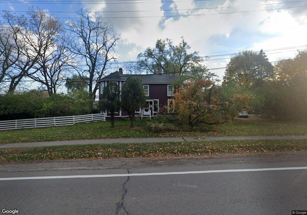
5575 W Maple Rd West Bloomfield, MI 48322
Estimated Value: $407,907 - $519,000
4
Beds
3
Baths
2,774
Sq Ft
$161/Sq Ft
Est. Value
About This Home
This home is located at 5575 W Maple Rd, West Bloomfield, MI 48322 and is currently estimated at $445,727, approximately $160 per square foot. 5575 W Maple Rd is a home located in Oakland County with nearby schools including Sheiko Elementary School, West Bloomfield Middle School, and Bloomfield Maples Montessori.
Ownership History
Date
Name
Owned For
Owner Type
Purchase Details
Closed on
Sep 12, 2019
Sold by
Laba Joseph C and Laba Sandra F
Bought by
Laba Joseph C and Laba Sandra F
Current Estimated Value
Purchase Details
Closed on
May 14, 2016
Sold by
Maple Valley Land Trust
Bought by
Laba Joseph C and Laba Sandra F
Purchase Details
Closed on
Oct 20, 2004
Sold by
Laba Joseph and Laba Sandra
Bought by
Maple Valley Land Trust and Wright & Wright Ltd Llc
Create a Home Valuation Report for This Property
The Home Valuation Report is an in-depth analysis detailing your home's value as well as a comparison with similar homes in the area
Home Values in the Area
Average Home Value in this Area
Purchase History
| Date | Buyer | Sale Price | Title Company |
|---|---|---|---|
| Laba Joseph C | -- | None Available | |
| Laba Joseph C | -- | None Available | |
| Maple Valley Land Trust | -- | -- |
Source: Public Records
Tax History Compared to Growth
Tax History
| Year | Tax Paid | Tax Assessment Tax Assessment Total Assessment is a certain percentage of the fair market value that is determined by local assessors to be the total taxable value of land and additions on the property. | Land | Improvement |
|---|---|---|---|---|
| 2024 | $2,602 | $145,610 | $0 | $0 |
| 2022 | $2,491 | $139,790 | $51,830 | $87,960 |
| 2021 | $3,786 | $132,610 | $0 | $0 |
| 2020 | $2,441 | $116,840 | $51,830 | $65,010 |
| 2018 | $3,580 | $107,490 | $51,830 | $55,660 |
| 2015 | -- | $104,780 | $0 | $0 |
| 2014 | -- | $95,170 | $0 | $0 |
| 2011 | -- | $90,660 | $0 | $0 |
Source: Public Records
Map
Nearby Homes
- 6624 Mellow Wood Ln
- 6769 Heather Heath
- 6843 Leslee Crest Dr
- 7027 Beverly Crest Dr
- 6151 Orchard Lake Rd Unit 103
- 6145 Orchard Lake Rd Unit 204
- 6322 Pepper Hill St Unit 62
- 6222 Pepper Hill St
- 7023 Wild Ridge Ln
- 4161 Breckenridge Dr
- 6109 Orchard Lake Rd Unit 101
- 6651 Hearthside Ct Unit 1
- 6614 Embers Ct
- 6621 Bellows Ct Unit 62
- 6564 Alderley Way
- 4185 Pinehurst Ct
- 6545 Post Oak Dr
- 3865 Stonecrest Rd
- 5946 Cherry Crest Dr
- 7335 Coach Ln
- 5595 W Maple Rd
- 6580 Tamerlane Dr
- 6560 Tamerlane Dr
- 6620 Tamerlane Dr
- 6540 Tamberlane Dr
- 6540 Tamerlane Dr
- 6516 Tamerlane Dr
- 6516 Tamberlane
- 5546 W Maple Rd
- 6485 Buxton Dr
- 6630 Tamerlane Dr
- 6549 Beverly Crest Dr Unit Bldg-Unit
- 6549 Beverly Crest Dr
- 6525 Beverly Crest Dr
- 6533 Beverly Crest Dr
- 5597 W Maple Rd
- 6610 Pine Eagle Ln
- 6561 Tamerlane Dr
- 6565 Beverly Crest Dr
- 6646 Tamerlane Dr