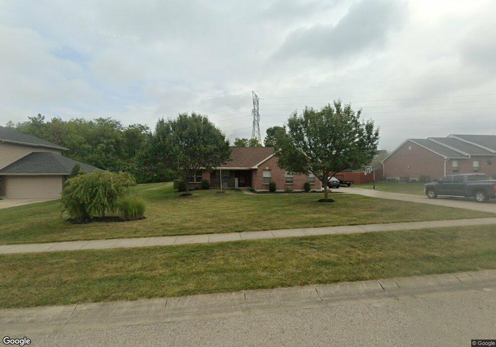
5576 Ava Ct Liberty Township, OH 45044
Estimated Value: $257,000 - $406,840
4
Beds
2
Baths
1,819
Sq Ft
$196/Sq Ft
Est. Value
About This Home
This home is located at 5576 Ava Ct, Liberty Township, OH 45044 and is currently estimated at $357,210, approximately $196 per square foot. 5576 Ava Ct is a home located in Butler County with nearby schools including VanGorden Elementary School, Liberty Junior School, and Lakota East High School.
Ownership History
Date
Name
Owned For
Owner Type
Purchase Details
Closed on
Sep 3, 2009
Sold by
Wade Christine and Wade Kyle
Bought by
Deaton Kash R and Deaton Donna S
Current Estimated Value
Home Financials for this Owner
Home Financials are based on the most recent Mortgage that was taken out on this home.
Original Mortgage
$131,376
Interest Rate
5.27%
Mortgage Type
FHA
Purchase Details
Closed on
Oct 10, 2006
Sold by
Ross Michael
Bought by
Wade Christine and Wade Kyle
Home Financials for this Owner
Home Financials are based on the most recent Mortgage that was taken out on this home.
Original Mortgage
$189,000
Interest Rate
9.1%
Mortgage Type
Purchase Money Mortgage
Purchase Details
Closed on
Oct 28, 2004
Sold by
Ross Investments Of Fairfield Llc
Bought by
Ross Michael
Create a Home Valuation Report for This Property
The Home Valuation Report is an in-depth analysis detailing your home's value as well as a comparison with similar homes in the area
Home Values in the Area
Average Home Value in this Area
Purchase History
| Date | Buyer | Sale Price | Title Company |
|---|---|---|---|
| Deaton Kash R | $133,800 | Attorney | |
| Wade Christine | $210,000 | Priority Land Title Agency | |
| Ross Michael | $199,032 | -- |
Source: Public Records
Mortgage History
| Date | Status | Borrower | Loan Amount |
|---|---|---|---|
| Previous Owner | Deaton Kash R | $131,376 | |
| Previous Owner | Wade Christine | $189,000 |
Source: Public Records
Tax History Compared to Growth
Tax History
| Year | Tax Paid | Tax Assessment Tax Assessment Total Assessment is a certain percentage of the fair market value that is determined by local assessors to be the total taxable value of land and additions on the property. | Land | Improvement |
|---|---|---|---|---|
| 2024 | $4,095 | $103,860 | $25,750 | $78,110 |
| 2023 | $4,042 | $104,120 | $25,750 | $78,370 |
| 2022 | $4,003 | $80,610 | $25,750 | $54,860 |
| 2021 | $3,981 | $80,610 | $25,750 | $54,860 |
| 2020 | $4,083 | $80,610 | $25,750 | $54,860 |
| 2019 | $6,877 | $71,390 | $25,870 | $45,520 |
| 2018 | $4,074 | $71,390 | $25,870 | $45,520 |
| 2017 | $4,065 | $71,390 | $25,870 | $45,520 |
| 2016 | $3,987 | $2,870 | $2,870 | $0 |
| 2015 | $165 | $2,870 | $2,870 | $0 |
| 2014 | $3,343 | $2,870 | $2,870 | $0 |
| 2013 | $3,343 | $2,870 | $2,870 | $0 |
Source: Public Records
Map
Nearby Homes
- 6534 Justess Ln
- 5502 Rodeo Dr
- 6551 Lucky Ln
- 5725 Hawthrone Reserve Dr
- 6466 Winding Oaks Dr
- 6777 Mahogany Ct
- 5542 Safari Dr
- 6394 Ashdale Ct
- 6895 Welney Run
- 7081 Yankee Estates Dr
- 7025 Welney Run
- 5290 Bligh Ct
- 7158 Airy View Dr
- 6919 Millikin Rd
- 7104 Paul Ln
- 7221 Kyles Station Rd
- 6035 Kyles Station Rd
- 7278 Airy View Dr
- 6816 Devon Dr
- 7113 Shady Brook Bend