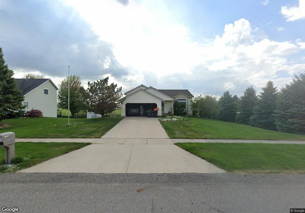
5577 Stevendale Dr Hudsonville, MI 49426
Estimated Value: $388,939 - $456,000
3
Beds
2
Baths
2,070
Sq Ft
$205/Sq Ft
Est. Value
About This Home
This home is located at 5577 Stevendale Dr, Hudsonville, MI 49426 and is currently estimated at $423,485, approximately $204 per square foot. 5577 Stevendale Dr is a home located in Ottawa County with nearby schools including Jamestown Lower Elementary School, South Elementary School, and Hudsonville Freshman Campus.
Ownership History
Date
Name
Owned For
Owner Type
Purchase Details
Closed on
Nov 7, 2011
Sold by
Groves Daniel and Groves Jacquelyn N
Bought by
Zylstra Christopher
Current Estimated Value
Home Financials for this Owner
Home Financials are based on the most recent Mortgage that was taken out on this home.
Original Mortgage
$150,995
Outstanding Balance
$102,964
Interest Rate
4.02%
Mortgage Type
FHA
Estimated Equity
$320,521
Purchase Details
Closed on
Aug 12, 2004
Sold by
Covenant Builders Inc
Bought by
Groves Daniel and Groves Jacquelyn N
Home Financials for this Owner
Home Financials are based on the most recent Mortgage that was taken out on this home.
Original Mortgage
$138,600
Interest Rate
6.1%
Mortgage Type
Purchase Money Mortgage
Purchase Details
Closed on
Jun 7, 2004
Sold by
Covenant Builders Inc
Bought by
Groves Daniel Eric
Create a Home Valuation Report for This Property
The Home Valuation Report is an in-depth analysis detailing your home's value as well as a comparison with similar homes in the area
Home Values in the Area
Average Home Value in this Area
Purchase History
| Date | Buyer | Sale Price | Title Company |
|---|---|---|---|
| Zylstra Christopher | $155,000 | Chicago Title | |
| Groves Daniel | $154,000 | Chicago Title | |
| Groves Daniel Eric | -- | -- |
Source: Public Records
Mortgage History
| Date | Status | Borrower | Loan Amount |
|---|---|---|---|
| Open | Zylstra Christopher | $150,995 | |
| Previous Owner | Groves Daniel | $138,600 |
Source: Public Records
Tax History Compared to Growth
Tax History
| Year | Tax Paid | Tax Assessment Tax Assessment Total Assessment is a certain percentage of the fair market value that is determined by local assessors to be the total taxable value of land and additions on the property. | Land | Improvement |
|---|---|---|---|---|
| 2025 | $2,759 | $174,100 | $0 | $0 |
| 2024 | $2,366 | $165,300 | $0 | $0 |
| 2023 | $2,260 | $150,700 | $0 | $0 |
| 2022 | $2,509 | $132,000 | $0 | $0 |
| 2021 | $2,438 | $131,400 | $0 | $0 |
| 2020 | $2,413 | $118,300 | $0 | $0 |
| 2019 | $2,392 | $109,100 | $0 | $0 |
| 2018 | $2,229 | $104,500 | $0 | $0 |
| 2017 | $2,189 | $103,000 | $0 | $0 |
| 2016 | $2,176 | $97,000 | $0 | $0 |
| 2015 | $2,045 | $93,500 | $0 | $0 |
| 2014 | $2,045 | $79,700 | $0 | $0 |
Source: Public Records
Map
Nearby Homes
- Parcel 8 16th Ave
- 5255 16th Ave
- 1496 Eagle Shore Ct Unit 13
- 1519 Eagle Shore Ct Unit Lot 33
- 1481 Eagle Shore Ct Unit 39
- 1451 Eagle Shore Ct
- 6129 W Bay Ct
- 6025 Gleneagle Dr
- 1643 Laramy Ln
- 1036 Castlebay Way Unit 17
- 1038 Castlebay Way Unit 18
- 1040 Castlebay Way Unit 19
- 1025 Parsons St
- 1943 Jackson St
- 1355 Bent Tree Dr Unit 12
- 6363 Eastridge Ct
- 925 Parsons St SW
- 1037 Fairfield Dr
- 1433 Winifred St
- 5712 E Town Dr Unit 11
- 5567 Stevendale Dr
- 5553 Stevendale Dr
- 1703 Stevendale Ct
- 1720 East Shore Ct
- 5539 Stevendale Dr
- 1700 Stevendale Ct
- 1739 Van Buren St
- 1708 East Shore Ct
- 1685 Stevendale Ct
- 1708 E Shore Ct
- 1814 Van Buren St
- 1676 Stevendale Ct
- 5525 Stevendale Dr
- 1791 Van Buren St
- 1690 East Shore Ct
- 1690 E Shore Ct
- 5528 Stevendale Dr
- 1671 Stevendale Ct
- 1732 East Shore Ct
- 1732 E Shore Ct