Estimated Value: $237,000 - $312,000
3
Beds
2
Baths
1,428
Sq Ft
$188/Sq Ft
Est. Value
About This Home
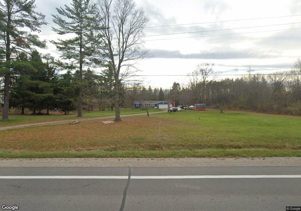
This home is located at 5579 Beard Rd, Clyde, MI 48049 and is currently estimated at $268,065, approximately $187 per square foot. 5579 Beard Rd is a home located in St. Clair County with nearby schools including Edison Elementary School, Fort Gratiot Middle School, and Port Huron Northern High School.
Ownership History
Date
Name
Owned For
Owner Type
Purchase Details
Closed on
Jul 5, 2019
Sold by
St Clair County Sheriffs Department
Bought by
Albert Jimmie Lee
Current Estimated Value
Purchase Details
Closed on
Jul 1, 2019
Sold by
St Clair County Sheriffs Department
Bought by
Albert Jimmie Lee
Purchase Details
Closed on
Apr 24, 2019
Sold by
Sheriff Of St Clair County
Bought by
Federal Home Loan Mortgage Cor
Purchase Details
Closed on
Dec 13, 2007
Sold by
Cope Joseph W and Cope Lisa C
Bought by
Cope Joseph W and Cope Lisa C
Create a Home Valuation Report for This Property
The Home Valuation Report is an in-depth analysis detailing your home's value as well as a comparison with similar homes in the area
Home Values in the Area
Average Home Value in this Area
Purchase History
| Date | Buyer | Sale Price | Title Company |
|---|---|---|---|
| Albert Jimmie Lee | -- | Ata National Title Group | |
| Albert Jimmie Lee | $93,222 | Ata National Title Group | |
| Albert Jimmie Lee | -- | Ata National Title Group | |
| Federal Home Loan Mortgage Cor | $98,560 | None Listed On Document | |
| Cope Joseph W | -- | None Available |
Source: Public Records
Tax History
| Year | Tax Paid | Tax Assessment Tax Assessment Total Assessment is a certain percentage of the fair market value that is determined by local assessors to be the total taxable value of land and additions on the property. | Land | Improvement |
|---|---|---|---|---|
| 2025 | $1,533 | $97,400 | $0 | $0 |
| 2024 | $1,487 | $90,900 | $0 | $0 |
| 2023 | $1,373 | $84,800 | $0 | $0 |
| 2022 | $1,862 | $76,700 | $0 | $0 |
| 2020 | $2,996 | $69,500 | $15,100 | $54,400 |
| 2019 | $1,183 | $69,300 | $0 | $0 |
| 2018 | $1,156 | $63,200 | $0 | $0 |
| 2017 | $1,132 | $56,900 | $0 | $0 |
| 2016 | $783 | $56,900 | $0 | $0 |
| 2015 | -- | $53,000 | $12,000 | $41,000 |
| 2014 | -- | $53,600 | $22,000 | $31,600 |
| 2013 | -- | $47,600 | $0 | $0 |
Source: Public Records
Map
Nearby Homes
- 0 Metcalf Rd Unit 20250029560
- VL North Rd
- 3975 Wadhams Rd
- 3766 Abbottsford Rd
- 000 Metcalf Rd
- 00 Metcalf Rd
- 0 Mcintyre Unit 50191499
- 6318 Rynn Rd
- 3559 Lightle Rd
- Lot #9 Thornton Dr
- 4452 Cole Rd
- 7187 Phillips Rd
- 4008 Keewahdin Rd
- 3679 Old Farm Ln
- 4570 Atkins Rd
- 0 Mcintyre Rd Unit 50193698
- 3625 Angus Rd
- 0000 V/L Lapeer Rd
- 00000 Lapeer Rd
- 7241 Bryce Rd
Your Personal Tour Guide
Ask me questions while you tour the home.