


$925,000
- 3 Beds
- 1.5 Baths
- 1,632 Sq Ft
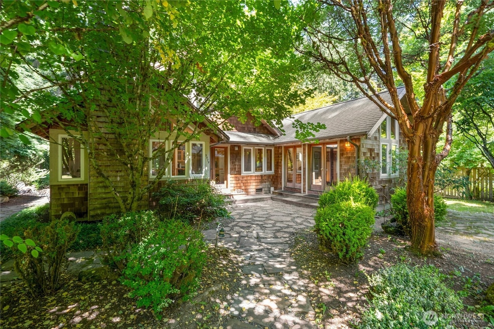
- 5836 NE Battle Point Dr
- Bainbridge Island, WA
Tucked on a sunny private lot in the heart of Bainbridge’s Battle Point neighborhood, this one-of-a-kind cottage blends rustic charm with modern updates. Brick and wood details—including vaulted ceilings with exposed beams—bring warmth and character to the home’s single-level layout. The airy, open-concept living space centers around a stunning floor-to-ceiling fireplace. A bright bonus room with
Crystal Hill The Agency Bainbridge Island