558 Bryn Mawr Rd Honesdale, PA 18431
Estimated Value: $199,000 - $307,000
2
Beds
1
Bath
1,040
Sq Ft
$241/Sq Ft
Est. Value
About This Home
This home is located at 558 Bryn Mawr Rd, Honesdale, PA 18431 and is currently estimated at $250,957, approximately $241 per square foot. 558 Bryn Mawr Rd is a home located in Wayne County with nearby schools including Honesdale High School and Brookside School.
Ownership History
Date
Name
Owned For
Owner Type
Purchase Details
Closed on
Jul 6, 2018
Sold by
Estate Of George H Rivenburg and Rivenburg Gerrge
Bought by
Seefish Inc
Current Estimated Value
Home Financials for this Owner
Home Financials are based on the most recent Mortgage that was taken out on this home.
Original Mortgage
$122,000
Outstanding Balance
$105,965
Interest Rate
4.6%
Mortgage Type
Commercial
Estimated Equity
$144,992
Create a Home Valuation Report for This Property
The Home Valuation Report is an in-depth analysis detailing your home's value as well as a comparison with similar homes in the area
Home Values in the Area
Average Home Value in this Area
Purchase History
| Date | Buyer | Sale Price | Title Company |
|---|---|---|---|
| Seefish Inc | $140,000 | None Available |
Source: Public Records
Mortgage History
| Date | Status | Borrower | Loan Amount |
|---|---|---|---|
| Open | Seefish Inc | $122,000 |
Source: Public Records
Tax History Compared to Growth
Tax History
| Year | Tax Paid | Tax Assessment Tax Assessment Total Assessment is a certain percentage of the fair market value that is determined by local assessors to be the total taxable value of land and additions on the property. | Land | Improvement |
|---|---|---|---|---|
| 2025 | $2,910 | $173,400 | $64,300 | $109,100 |
| 2024 | $2,778 | $173,400 | $64,300 | $109,100 |
| 2023 | $3,925 | $173,400 | $64,300 | $109,100 |
| 2022 | $2,654 | $108,600 | $35,100 | $73,500 |
| 2021 | $2,627 | $108,600 | $35,100 | $73,500 |
| 2020 | $2,627 | $108,600 | $35,100 | $73,500 |
| 2019 | $2,455 | $108,600 | $35,100 | $73,500 |
| 2018 | $2,390 | $108,600 | $35,100 | $73,500 |
| 2017 | $2,132 | $108,600 | $35,100 | $73,500 |
| 2016 | $2,258 | $108,600 | $35,100 | $73,500 |
| 2014 | -- | $108,600 | $35,100 | $73,500 |
Source: Public Records
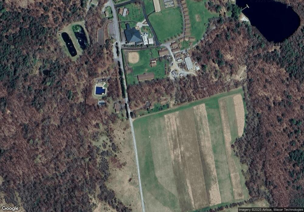
Map
Nearby Homes
- 19 Oregon Turnpike
- 0 Bryn Mawr Rd
- 0 Highhouse Rd
- 105 Grimms Rd
- 25 Leaf Dr
- 401 Wayne St
- 22 Vanishing Pond Rd
- 15 Rose Land Dr
- 19 Bethany Turnpike
- 560 Johnson Ln
- 0 Slish Rd
- 1797 N Main St
- 52 Laurel Dr
- 1223 Dyberry Place
- 1226 Dyberry Place
- 1920 Hancock Hwy Unit B
- 729 High St
- 308 Valley Ridge Rd
- 33 Stevenson
- 647 W Park St
- 0 38 Acres Bryn Mawr Rd
- 605 Bryn Mawr Rd
- 0 50 Acres Bryn Mawr Rd
- 0 Wheelock Way Unit GSBSC252645
- 0 Wheelock Way Unit PWBPW251625
- 0 Wheelock Way Unit PWBPW240052
- 136 Oregon Turnpike
- 481 Bryn Mawr Rd
- 264 Oregon Turnpike
- 242 Oregon Turnpike
- 13 Hemlock Hollow Dr
- 244 Oregon Turnpike
- 105 Oregon Turnpike
- 44 Oregon Turnpike
- 51 Oregon Turnpike
- 51 Oregon Turnpike
- 32 Oregon Turnpike
- 8 Ranner Dr
- 696 Hancock Hwy
- 20 Oregon Turnpike