Estimated Value: $317,000 - $371,000
4
Beds
1
Bath
2,076
Sq Ft
$169/Sq Ft
Est. Value
About This Home
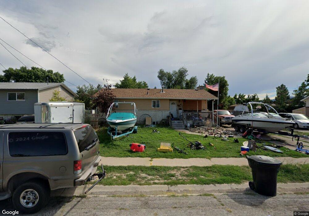
This home is located at 558 Fernwood Dr, Hyrum, UT 84319 and is currently estimated at $351,722, approximately $169 per square foot. 558 Fernwood Dr is a home located in Cache County with nearby schools including Millville School, South Cache Middle School, and Mountain Crest High School.
Ownership History
Date
Name
Owned For
Owner Type
Purchase Details
Closed on
Feb 15, 2013
Sold by
The Bank Of New York Mellon
Bought by
Moss Darrik
Current Estimated Value
Home Financials for this Owner
Home Financials are based on the most recent Mortgage that was taken out on this home.
Original Mortgage
$83,420
Outstanding Balance
$58,327
Interest Rate
3.49%
Mortgage Type
New Conventional
Estimated Equity
$293,395
Purchase Details
Closed on
Sep 27, 2012
Sold by
Loertscher David and Loertscher Angela
Bought by
The Bank Of New York Mellon
Create a Home Valuation Report for This Property
The Home Valuation Report is an in-depth analysis detailing your home's value as well as a comparison with similar homes in the area
Home Values in the Area
Average Home Value in this Area
Purchase History
| Date | Buyer | Sale Price | Title Company |
|---|---|---|---|
| Moss Darrik | -- | First American Union Heights | |
| The Bank Of New York Mellon | $117,423 | Etitle Insurance Agency |
Source: Public Records
Mortgage History
| Date | Status | Borrower | Loan Amount |
|---|---|---|---|
| Open | Moss Darrik | $83,420 |
Source: Public Records
Tax History Compared to Growth
Tax History
| Year | Tax Paid | Tax Assessment Tax Assessment Total Assessment is a certain percentage of the fair market value that is determined by local assessors to be the total taxable value of land and additions on the property. | Land | Improvement |
|---|---|---|---|---|
| 2025 | $124 | $177,875 | $0 | $0 |
| 2024 | $1,319 | $176,900 | $0 | $0 |
| 2023 | $1,359 | $174,265 | $0 | $0 |
| 2022 | $1,419 | $174,265 | $0 | $0 |
| 2021 | $1,366 | $258,530 | $64,130 | $194,400 |
| 2020 | $1,273 | $226,130 | $64,130 | $162,000 |
| 2019 | $953 | $159,283 | $41,000 | $118,283 |
| 2018 | $874 | $141,240 | $41,000 | $100,240 |
| 2017 | $856 | $71,775 | $0 | $0 |
| 2016 | $876 | $71,775 | $0 | $0 |
| 2015 | $878 | $71,775 | $0 | $0 |
| 2014 | $852 | $71,230 | $0 | $0 |
| 2013 | -- | $71,230 | $0 | $0 |
Source: Public Records
Map
Nearby Homes
- 532 E 300 S
- 516 S 770 E
- 565 E 100 S
- 175 E 500 S
- 651 E 20 S
- 667 E 730 N
- 8 S 650 W
- 42 the Hideout at Scare
- 7500 S 1400 W
- 676 E 1100 S
- 478 S 1170 E
- 412 S 1170 E
- Ashland Plan at Canyon Estates
- Magnolia Plan at Canyon Estates
- Richmond Plan at Canyon Estates
- 1158 S 650 E
- 66 W 400 S
- 222 S 1170 E
- 28 N 100 E
- 165 N 800 E
- 570 Fernwood Dr
- 546 Fernwood Dr
- 555 Glenwood Dr
- 545 Glenwood Dr
- 565 Glenwood Dr
- 555 Fernwood Dr
- 580 Fernwood Dr
- 454 Fernwood Dr
- 569 Fernwood Dr
- 569 Fernwood Dr
- 579 Glenwood Dr
- 535 Glenwood Dr
- 429 Rosewood Dr
- 440 Fernwood Dr
- 521 Glenwood Dr
- 415 Rosewood Dr
- 470 S 600 E
- 515 Glenwood Dr
- 560 Glenwood Dr
- 595 Glenwood Dr