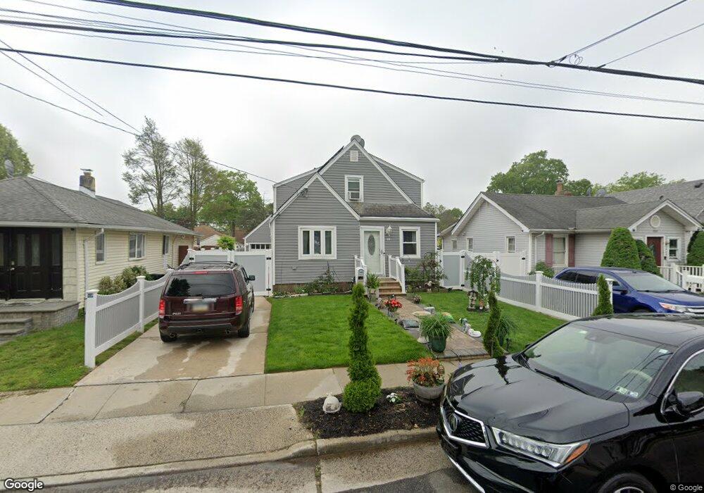
558 Lincoln Ave West Hempstead, NY 11552
Estimated Value: $634,000 - $687,640
4
Beds
2
Baths
1,236
Sq Ft
$535/Sq Ft
Est. Value
About This Home
This home is located at 558 Lincoln Ave, West Hempstead, NY 11552 and is currently estimated at $660,820, approximately $534 per square foot. 558 Lincoln Ave is a home located in Nassau County with nearby schools including Chestnut Street School, West Hempstead Secondary School, and Hebrew Academy of Nassau County (HANC).
Ownership History
Date
Name
Owned For
Owner Type
Purchase Details
Closed on
Jan 8, 2016
Sold by
Sluszka Peter and Estate Of Ethelyn Sluszka
Bought by
Nunez Sonia and Nieves Edwin
Current Estimated Value
Home Financials for this Owner
Home Financials are based on the most recent Mortgage that was taken out on this home.
Original Mortgage
$327,851
Outstanding Balance
$265,255
Interest Rate
4.5%
Mortgage Type
FHA
Estimated Equity
$395,565
Create a Home Valuation Report for This Property
The Home Valuation Report is an in-depth analysis detailing your home's value as well as a comparison with similar homes in the area
Home Values in the Area
Average Home Value in this Area
Purchase History
| Date | Buyer | Sale Price | Title Company |
|---|---|---|---|
| Nunez Sonia | $333,900 | Attorney |
Source: Public Records
Mortgage History
| Date | Status | Borrower | Loan Amount |
|---|---|---|---|
| Open | Nunez Sonia | $327,851 |
Source: Public Records
Tax History Compared to Growth
Tax History
| Year | Tax Paid | Tax Assessment Tax Assessment Total Assessment is a certain percentage of the fair market value that is determined by local assessors to be the total taxable value of land and additions on the property. | Land | Improvement |
|---|---|---|---|---|
| 2025 | $11,447 | $416 | $181 | $235 |
| 2024 | $3,426 | $416 | $181 | $235 |
| 2023 | $10,909 | $416 | $181 | $235 |
| 2022 | $10,909 | $416 | $181 | $235 |
| 2021 | $14,877 | $397 | $173 | $224 |
| 2020 | $10,924 | $601 | $362 | $239 |
| 2019 | $10,810 | $601 | $362 | $239 |
| 2018 | $10,188 | $601 | $0 | $0 |
| 2017 | $4,533 | $601 | $362 | $239 |
| 2016 | $7,172 | $601 | $362 | $239 |
| 2015 | $2,006 | $601 | $362 | $239 |
| 2014 | $2,006 | $601 | $362 | $239 |
| 2013 | $1,874 | $601 | $362 | $239 |
Source: Public Records
Map
Nearby Homes
- 596 Lincoln Ave
- 647 Jennings Ave
- 513 Washington Ave
- 629 Park Ave
- 815 Sunshine Ave
- 321 Oakford St
- 757 Harrison St
- 55 Melvin Ave
- 467 Susan Ct
- 841 Woodfield Rd
- 853 Arthur St
- 686 Tanwood Dr
- 301 Coventry Rd N
- 450 Rhodes Ln
- 312 Coventry Rd S
- 635 Hempstead Ave
- 0 Rhodes Ln
- 49 Carol St
- 899 Cleveland St
- 590 Langley Ave
- 560 Lincoln Ave
- 556 Lincoln Ave
- 562 Lincoln Ave
- 550 Lincoln Ave
- 557 Wadleigh Ave
- 557 Wadleigh Ave
- 555 Wadleigh Ave
- 559 Wadleigh Ave
- 563 Wadleigh Ave
- 549 Wadleigh Ave
- 548 Lincoln Ave
- 596 Jennings Ave
- 602 Jennings Ave
- 557 Lincoln Ave
- 553 Lincoln Ave
- 561 Lincoln Ave
- 545 Wadleigh Ave
- 549 Lincoln Ave
- 538 Lincoln Ave
- 573 Wadleigh Ave